744 West St Duxbury, MA 02332
Estimated Value: $921,000 - $1,110,000
3
Beds
2
Baths
1,656
Sq Ft
$596/Sq Ft
Est. Value
About This Home
This home is located at 744 West St, Duxbury, MA 02332 and is currently estimated at $987,495, approximately $596 per square foot. 744 West St is a home located in Plymouth County with nearby schools including Chandler Elementary School, Alden School, and Duxbury Middle School.
Ownership History
Date
Name
Owned For
Owner Type
Purchase Details
Closed on
Jun 12, 2025
Sold by
Capilli Joseph and Doyle Melissa
Bought by
Capilli Doyle Ft and Caoilli
Current Estimated Value
Purchase Details
Closed on
Sep 30, 2004
Sold by
Keefe Joan C
Bought by
Capilli Joseph and Doyle Melissa
Purchase Details
Closed on
Jun 16, 2000
Sold by
Koulopoulos Nicholas M and Koulopoulos Moira F
Bought by
Keefe Joan C
Purchase Details
Closed on
Sep 1, 1994
Sold by
Dunn Mark D and Dunn Kathleen M
Bought by
Koulopulos Nicholas M and Koulopoulos Moira F
Purchase Details
Closed on
Jul 9, 1987
Sold by
Curran Glen H
Bought by
Dunn Mark D
Create a Home Valuation Report for This Property
The Home Valuation Report is an in-depth analysis detailing your home's value as well as a comparison with similar homes in the area
Home Values in the Area
Average Home Value in this Area
Purchase History
| Date | Buyer | Sale Price | Title Company |
|---|---|---|---|
| Capilli Doyle Ft | -- | None Available | |
| Capilli Doyle Ft | -- | None Available | |
| Capilli Joseph | $505,000 | -- | |
| Capilli Joseph | $505,000 | -- | |
| Keefe Joan C | $349,000 | -- | |
| Keefe Joan C | $349,000 | -- | |
| Koulopulos Nicholas M | $215,000 | -- | |
| Dunn Mark D | $229,000 | -- |
Source: Public Records
Mortgage History
| Date | Status | Borrower | Loan Amount |
|---|---|---|---|
| Previous Owner | Dunn Mark D | $378,700 | |
| Previous Owner | Dunn Mark D | $370,000 |
Source: Public Records
Tax History Compared to Growth
Tax History
| Year | Tax Paid | Tax Assessment Tax Assessment Total Assessment is a certain percentage of the fair market value that is determined by local assessors to be the total taxable value of land and additions on the property. | Land | Improvement |
|---|---|---|---|---|
| 2025 | $8,993 | $886,900 | $351,600 | $535,300 |
| 2024 | $8,599 | $854,800 | $351,600 | $503,200 |
| 2023 | $8,218 | $768,800 | $365,800 | $403,000 |
| 2022 | $8,288 | $645,500 | $301,500 | $344,000 |
| 2021 | $8,149 | $562,800 | $252,000 | $310,800 |
| 2020 | $8,259 | $563,400 | $254,000 | $309,400 |
| 2019 | $7,706 | $524,900 | $211,700 | $313,200 |
| 2018 | $7,322 | $483,000 | $196,800 | $286,200 |
| 2017 | $7,234 | $466,400 | $183,900 | $282,500 |
| 2016 | $7,253 | $466,400 | $183,900 | $282,500 |
| 2015 | $7,552 | $484,100 | $201,600 | $282,500 |
Source: Public Records
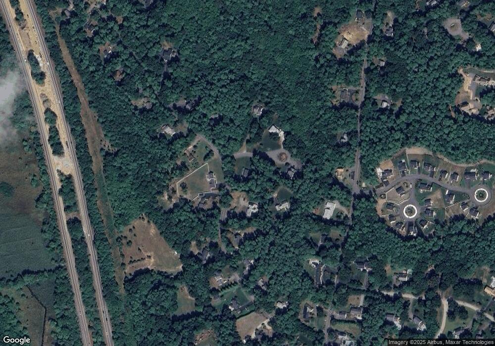
Map
Nearby Homes
- 225 Lincoln St Unit A3
- 15 Lady Slipper Ln
- 676 Franklin St
- 33 Herring Weir Rd
- 62 Teakettle Ln
- 16 Fieldstone Farm Way
- The Duplex Plan at The Village at Harlow Brook
- The Chatham Plan at The Village at Harlow Brook
- The Falmouth Plan at The Village at Harlow Brook
- 15 Fieldstone Farm Way Unit 8
- 3 Harlow Brook Way Unit 3
- 2 Harlow Brook Way Unit 2
- 2 Secret Pond Way Unit 35
- 1 Secret Pond Way Unit 36
- 431 Moraine St
- 20 Amado Way
- 184 King Phillips Pathe
- 9 S Pasture Ln
- 47 Wellington Ln
- 713 Webster St