Estimated Value: $260,000 - $298,000
3
Beds
2
Baths
1,374
Sq Ft
$201/Sq Ft
Est. Value
About This Home
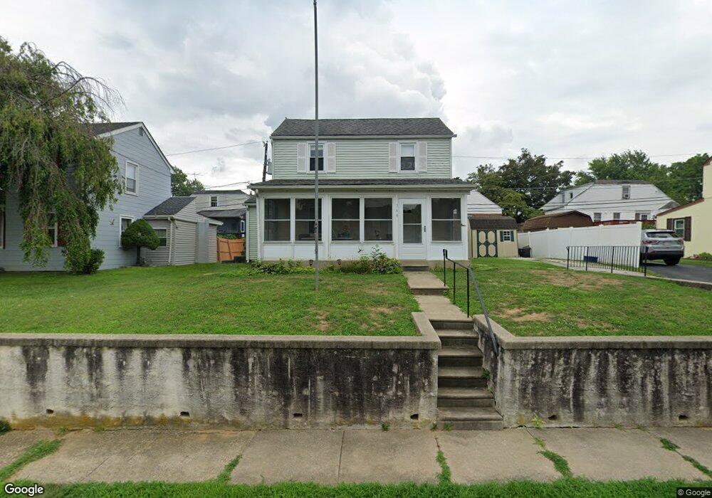
This home is located at 744 Westwood Ln, Aldan, PA 19018 and is currently estimated at $275,783, approximately $200 per square foot. 744 Westwood Ln is a home located in Delaware County with nearby schools including Primos El School, Drexel Hill Middle School, and Upper Darby High School.
Ownership History
Date
Name
Owned For
Owner Type
Purchase Details
Closed on
Sep 15, 2009
Sold by
Vincent Denise
Bought by
Brown Henry W
Current Estimated Value
Home Financials for this Owner
Home Financials are based on the most recent Mortgage that was taken out on this home.
Original Mortgage
$162,000
Outstanding Balance
$106,591
Interest Rate
5.31%
Mortgage Type
New Conventional
Estimated Equity
$169,192
Purchase Details
Closed on
Sep 15, 1998
Sold by
Odonnell Priscilla M and Prine Oliver L
Bought by
Iannucci Denise
Home Financials for this Owner
Home Financials are based on the most recent Mortgage that was taken out on this home.
Original Mortgage
$61,000
Interest Rate
6.9%
Create a Home Valuation Report for This Property
The Home Valuation Report is an in-depth analysis detailing your home's value as well as a comparison with similar homes in the area
Home Values in the Area
Average Home Value in this Area
Purchase History
| Date | Buyer | Sale Price | Title Company |
|---|---|---|---|
| Brown Henry W | $162,000 | Constitution Title Inc | |
| Iannucci Denise | $91,000 | -- |
Source: Public Records
Mortgage History
| Date | Status | Borrower | Loan Amount |
|---|---|---|---|
| Open | Brown Henry W | $162,000 | |
| Previous Owner | Iannucci Denise | $61,000 |
Source: Public Records
Tax History Compared to Growth
Tax History
| Year | Tax Paid | Tax Assessment Tax Assessment Total Assessment is a certain percentage of the fair market value that is determined by local assessors to be the total taxable value of land and additions on the property. | Land | Improvement |
|---|---|---|---|---|
| 2025 | $5,517 | $130,460 | $38,730 | $91,730 |
| 2024 | $5,517 | $130,460 | $38,730 | $91,730 |
| 2023 | $5,465 | $130,460 | $38,730 | $91,730 |
| 2022 | $5,318 | $130,460 | $38,730 | $91,730 |
| 2021 | $7,171 | $130,460 | $38,730 | $91,730 |
| 2020 | $5,087 | $78,640 | $31,240 | $47,400 |
| 2019 | $4,998 | $78,640 | $31,240 | $47,400 |
| 2018 | $4,940 | $78,640 | $0 | $0 |
| 2017 | $4,812 | $78,640 | $0 | $0 |
| 2016 | $432 | $78,640 | $0 | $0 |
| 2015 | $432 | $78,640 | $0 | $0 |
| 2014 | $432 | $78,640 | $0 | $0 |
Source: Public Records
Map
Nearby Homes
- 722 Thorndale Rd
- 428 Walnut Ave
- 603 Montana Ave
- 422 Rively Ave
- 14 W Providence Rd
- 338 Springfield Rd
- 321 E Magnolia Ave
- 1027 Windsor Rd
- 27 Concord Rd
- 29 Concord Rd
- 129 Branford Rd
- 208 Rosewood Ave
- 159 W Maryland Ave
- 30 E Providence Rd
- 28 S 12th St
- 32 Elder Ave
- 1143 Chestnut St
- 101 S Glenwood Ave
- 1125 Main St
- 1210 Berkley Rd
- 742 Westwood Ln
- 746 Westwood Ln
- 741 Surrey Rd
- 743 Surrey Rd
- 739 Surrey Rd
- 745 Westwood Ln
- 740 Westwood Ln
- 748 Westwood Ln
- 747 Westwood Ln
- 745 Surrey Rd
- 737 Surrey Rd
- 741 Westwood Ln
- 749 Westwood Ln
- 744 Thorndale Rd
- 742 Surrey Rd
- 742 Thorndale Rd
- 738 Westwood Ln
- 750 Westwood Ln
- 744 Surrey Rd
- 747 Surrey Rd