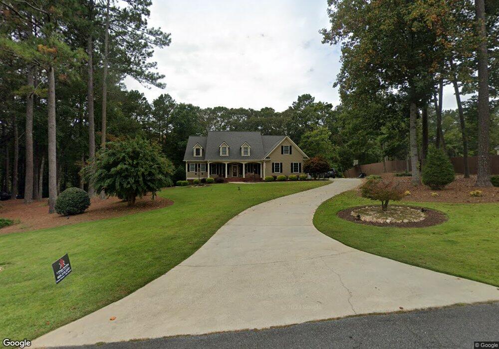
744 Windrift Dr Dallas, GA 30132
Cedarcrest NeighborhoodEstimated Value: $692,397 - $779,000
4
Beds
3
Baths
3,351
Sq Ft
$219/Sq Ft
Est. Value
About This Home
This home is located at 744 Windrift Dr, Dallas, GA 30132 and is currently estimated at $732,849, approximately $218 per square foot. 744 Windrift Dr is a home located in Paulding County with nearby schools including Burnt Hickory Elementary School, Sammy Mcclure Sr. Middle School, and North Paulding High School.
Ownership History
Date
Name
Owned For
Owner Type
Purchase Details
Closed on
Aug 21, 2015
Sold by
Vansant Deborah G
Bought by
Horton Kenneth and Horton Ana
Current Estimated Value
Home Financials for this Owner
Home Financials are based on the most recent Mortgage that was taken out on this home.
Original Mortgage
$295,200
Outstanding Balance
$232,646
Interest Rate
4.09%
Mortgage Type
Commercial
Estimated Equity
$500,203
Purchase Details
Closed on
Oct 18, 2012
Sold by
Vansant Thomas J Estate
Purchase Details
Closed on
Dec 10, 2004
Sold by
Alexander Douglas E
Bought by
Vansant Deborah G and Vansant Thomas
Home Financials for this Owner
Home Financials are based on the most recent Mortgage that was taken out on this home.
Original Mortgage
$300,000
Interest Rate
5.25%
Mortgage Type
New Conventional
Create a Home Valuation Report for This Property
The Home Valuation Report is an in-depth analysis detailing your home's value as well as a comparison with similar homes in the area
Home Values in the Area
Average Home Value in this Area
Purchase History
| Date | Buyer | Sale Price | Title Company |
|---|---|---|---|
| Horton Kenneth | $369,000 | -- | |
| -- | -- | -- | |
| Vansant Deborah G | $385,000 | -- |
Source: Public Records
Mortgage History
| Date | Status | Borrower | Loan Amount |
|---|---|---|---|
| Open | Horton Kenneth | $295,200 | |
| Previous Owner | Vansant Deborah G | $300,000 |
Source: Public Records
Tax History Compared to Growth
Tax History
| Year | Tax Paid | Tax Assessment Tax Assessment Total Assessment is a certain percentage of the fair market value that is determined by local assessors to be the total taxable value of land and additions on the property. | Land | Improvement |
|---|---|---|---|---|
| 2024 | $1,848 | $265,244 | $30,000 | $235,244 |
| 2023 | $7,044 | $272,736 | $30,000 | $242,736 |
| 2022 | $5,917 | $228,852 | $30,000 | $198,852 |
| 2021 | $5,232 | $181,888 | $30,000 | $151,888 |
| 2020 | $4,775 | $162,616 | $30,000 | $132,616 |
| 2019 | $4,154 | $139,724 | $30,000 | $109,724 |
| 2018 | $4,656 | $154,556 | $30,000 | $124,556 |
| 2017 | $4,298 | $142,560 | $19,400 | $123,160 |
Source: Public Records
Map
Nearby Homes
- 700 Windrift Dr
- 776 Windrift Dr
- 751 Windrift Dr
- 175 Wildwind Trace
- 701 Windrift Dr
- 657 Windrift Dr
- 161 Wildwind Trace
- 798 Windrift Dr
- 118 Wildwind Trace
- 620 Windrift Dr
- 0000 Wildwind Trace
- 0 Wildwind Trace Unit 67 7598493
- 0 Wildwind Trace Unit 7583868
- 0 Wildwind Trace Unit 7233938
- 0 Wildwind Trace Unit 9004167
- 0 Wildwind Trace Unit 9045012
- 0 Wildwind Trace Unit 9071759
- 0 Wildwind Trace Unit 7457221
- 229 Wildwind Trace
- 627 Windrift Dr Unit 27