7440 High Bank Rd Mays Landing, NJ 08330
Estimated Value: $119,545 - $253,000
--
Bed
--
Bath
504
Sq Ft
$384/Sq Ft
Est. Value
About This Home
This home is located at 7440 High Bank Rd, Mays Landing, NJ 08330 and is currently estimated at $193,386, approximately $383 per square foot. 7440 High Bank Rd is a home located in Atlantic County with nearby schools including Joseph Shaner School, George L. Hess Educational Complex, and William Davies Middle School.
Ownership History
Date
Name
Owned For
Owner Type
Purchase Details
Closed on
Apr 8, 2021
Sold by
Sato Mary Ruth and Powley Vanessa L
Bought by
Sato Mary Ruth and Powley Vanessa L
Current Estimated Value
Purchase Details
Closed on
Aug 2, 2011
Sold by
Powley Van R and Powley Arline B
Bought by
Powley Van R and Powley Arline B
Create a Home Valuation Report for This Property
The Home Valuation Report is an in-depth analysis detailing your home's value as well as a comparison with similar homes in the area
Home Values in the Area
Average Home Value in this Area
Purchase History
| Date | Buyer | Sale Price | Title Company |
|---|---|---|---|
| Sato Mary Ruth | -- | None Available | |
| Powley Van R | -- | None Available |
Source: Public Records
Tax History Compared to Growth
Tax History
| Year | Tax Paid | Tax Assessment Tax Assessment Total Assessment is a certain percentage of the fair market value that is determined by local assessors to be the total taxable value of land and additions on the property. | Land | Improvement |
|---|---|---|---|---|
| 2025 | $2,875 | $83,800 | $55,600 | $28,200 |
| 2024 | $2,875 | $83,800 | $55,600 | $28,200 |
| 2023 | $2,703 | $83,800 | $55,600 | $28,200 |
| 2022 | $2,703 | $83,800 | $55,600 | $28,200 |
| 2021 | $2,698 | $83,800 | $55,600 | $28,200 |
| 2020 | $2,698 | $83,800 | $55,600 | $28,200 |
| 2019 | $2,704 | $83,800 | $55,600 | $28,200 |
| 2018 | $2,610 | $83,800 | $55,600 | $28,200 |
| 2017 | $2,568 | $83,800 | $55,600 | $28,200 |
| 2016 | $2,496 | $83,800 | $55,600 | $28,200 |
| 2015 | $2,412 | $83,800 | $55,600 | $28,200 |
| 2014 | $2,467 | $93,900 | $63,400 | $30,500 |
Source: Public Records
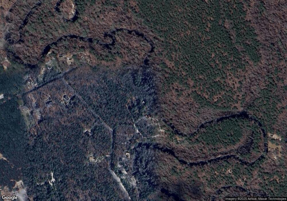
Map
Nearby Homes
- 2015 High Bank Rd
- 7411 Black Horse Pike
- 7390 Black Horse Pike
- 1930 Mccall Ave
- 7322 Black Horse Pike
- First 1st Ave
- 7640 Black Horse Pike
- 7417 3rd Ave
- 7415 3rd Ave
- 1 Belmont Ave
- 1601 Mccall Ave
- 7684 E Black Horse Pike
- 2216 Evergreen Dr
- 2212 Evergreen Dr
- 3117 N Pinewood Dr
- 7571 Strand Ave
- 1307 Black Horse Pike
- 7340 Venice Blvd
- 0 0 Strand Ave
- 1528 Mays Landing Rd
- 7438 High Bank Rd
- 7437 High Bank Rd
- 7428 Driftwood Ln
- 7439 High Bank Rd
- 7426 Driftwood Ln
- 7423 Driftwood Ln
- 2020 High Bank Rd
- 7424 Driftwood Ln
- 7421 Driftwood Ln
- 2029 High Bank Rd
- 2027 High Bank Rd
- 2018 High Bank Rd
- 2023 High Bank Rd
- 2019 High Bank Rd
- 2014 High Bank Rd
- 2012 High Bank Rd
- 7414 Driftwood Ln
- 7291 Weymouth Rd
- 7285 Weymouth Rd
- 7410 Driftwood Ln