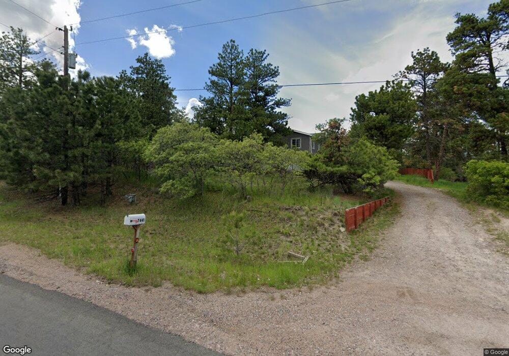
7441 Shrine Rd Larkspur, CO 80118
Estimated Value: $876,228 - $1,089,000
3
Beds
3
Baths
2,989
Sq Ft
$327/Sq Ft
Est. Value
About This Home
This home is located at 7441 Shrine Rd, Larkspur, CO 80118 and is currently estimated at $976,557, approximately $326 per square foot. 7441 Shrine Rd is a home located in Douglas County with nearby schools including Larkspur Elementary School, Castle Rock Middle School, and Castle View High School.
Ownership History
Date
Name
Owned For
Owner Type
Purchase Details
Closed on
May 23, 1997
Sold by
Collen Group Inc
Bought by
Mcclintock David L
Current Estimated Value
Purchase Details
Closed on
Aug 9, 1995
Sold by
Collen Group Inc
Bought by
Mabari Lois
Purchase Details
Closed on
Jul 31, 1995
Sold by
Latham Andrew W and Latham Marsha J
Bought by
Collen Group Inc
Purchase Details
Closed on
Dec 15, 1971
Sold by
Unavailable
Bought by
Unavailable
Create a Home Valuation Report for This Property
The Home Valuation Report is an in-depth analysis detailing your home's value as well as a comparison with similar homes in the area
Home Values in the Area
Average Home Value in this Area
Purchase History
| Date | Buyer | Sale Price | Title Company |
|---|---|---|---|
| Mcclintock David L | $50,000 | -- | |
| Mabari Lois | -- | -- | |
| Collen Group Inc | $8,000 | -- | |
| Unavailable | $6,900 | -- |
Source: Public Records
Tax History Compared to Growth
Tax History
| Year | Tax Paid | Tax Assessment Tax Assessment Total Assessment is a certain percentage of the fair market value that is determined by local assessors to be the total taxable value of land and additions on the property. | Land | Improvement |
|---|---|---|---|---|
| 2024 | $5,640 | $61,550 | $12,590 | $48,960 |
| 2023 | $5,696 | $61,550 | $12,590 | $48,960 |
| 2022 | $4,182 | $44,150 | $8,600 | $35,550 |
| 2021 | $4,329 | $44,150 | $8,600 | $35,550 |
| 2020 | $4,024 | $41,890 | $7,430 | $34,460 |
| 2019 | $4,037 | $41,890 | $7,430 | $34,460 |
| 2018 | $3,649 | $37,200 | $6,810 | $30,390 |
| 2017 | $3,430 | $37,200 | $6,810 | $30,390 |
| 2016 | $3,413 | $36,400 | $6,530 | $29,870 |
| 2015 | $3,337 | $36,400 | $6,530 | $29,870 |
| 2014 | $1,486 | $30,390 | $4,700 | $25,690 |
Source: Public Records
Map
Nearby Homes
- 7596 Rollins Dr
- 1600 Independence Dr Unit 50
- 1065 Independence Dr
- 1038 Tenderfoot Dr
- 929 Tenderfoot Dr
- 0 E Cherry Creek Rd Unit 2541327
- 0 E Cherry Creek Rd Unit REC1786246
- 950 Tenderfoot Dr
- 1025 Tenderfoot Dr
- 7317 Fremont Place
- 691 Cumberland Rd
- 670 Independence Dr
- 7737 Taylor Cir
- 1275 Fremont Dr
- 7994 Monarch Rd
- 1210 Kenosha Dr
- 773 Copper Fox Place
- 1653 Gore Dr
- 1151 Kenosha Dr
- 682 Copper Fox Place
- 7419 Shrine Rd
- 7461 Shrine Rd
- 7450 Shrine Rd
- 1085 Cottonwood Ln
- 7479 Shrine Rd
- 7470 Shrine Rd
- 1064 Cottonwood Ln
- 689 Independence Dr
- 7615 Rollins Dr
- 1043 Independence Dr
- 1055 Cottonwood Ln
- 7595 Rollins Dr
- 1053 Independence Dr
- 7769 Shrine Rd
- 0000 Independence Dr
- 588 Independence Dr
- 1600 Independence Dr
- 7500 Shrine Rd
- 1010 Independence Dr
- 1109 Tenderfoot Dr