7445 100 South E Whitestown, IN 46075
Estimated Value: $289,000 - $331,639
3
Beds
2
Baths
1,564
Sq Ft
$199/Sq Ft
Est. Value
About This Home
This home is located at 7445 100 South E, Whitestown, IN 46075 and is currently estimated at $310,910, approximately $198 per square foot. 7445 100 South E is a home located in Boone County with nearby schools including Perry Worth Elementary School, Lebanon Middle School, and Lebanon Senior High School.
Ownership History
Date
Name
Owned For
Owner Type
Purchase Details
Closed on
Nov 2, 2020
Sold by
Hoover Christopher
Bought by
Hoover Ryan M
Current Estimated Value
Purchase Details
Closed on
Oct 25, 2011
Sold by
Merrill Samuel A and Merrill Marilyn J
Bought by
Myers Joshua A and Myers Vanessa D
Home Financials for this Owner
Home Financials are based on the most recent Mortgage that was taken out on this home.
Original Mortgage
$114,795
Outstanding Balance
$78,370
Interest Rate
4.12%
Mortgage Type
New Conventional
Estimated Equity
$232,540
Create a Home Valuation Report for This Property
The Home Valuation Report is an in-depth analysis detailing your home's value as well as a comparison with similar homes in the area
Home Values in the Area
Average Home Value in this Area
Purchase History
| Date | Buyer | Sale Price | Title Company |
|---|---|---|---|
| Hoover Ryan M | -- | None Available | |
| Myers Joshua A | -- | -- |
Source: Public Records
Mortgage History
| Date | Status | Borrower | Loan Amount |
|---|---|---|---|
| Open | Myers Joshua A | $114,795 |
Source: Public Records
Tax History Compared to Growth
Tax History
| Year | Tax Paid | Tax Assessment Tax Assessment Total Assessment is a certain percentage of the fair market value that is determined by local assessors to be the total taxable value of land and additions on the property. | Land | Improvement |
|---|---|---|---|---|
| 2025 | $1,931 | $264,800 | $33,800 | $231,000 |
| 2024 | $1,931 | $257,200 | $33,800 | $223,400 |
| 2023 | $1,824 | $245,400 | $33,800 | $211,600 |
| 2022 | $1,828 | $238,600 | $33,800 | $204,800 |
| 2021 | $1,616 | $206,900 | $33,800 | $173,100 |
| 2020 | $1,354 | $188,700 | $33,800 | $154,900 |
| 2019 | $1,207 | $181,300 | $33,800 | $147,500 |
| 2018 | $1,231 | $173,900 | $33,800 | $140,100 |
| 2017 | $1,217 | $176,600 | $33,800 | $142,800 |
| 2016 | $1,186 | $165,100 | $33,800 | $131,300 |
| 2014 | $968 | $144,100 | $34,600 | $109,500 |
Source: Public Records
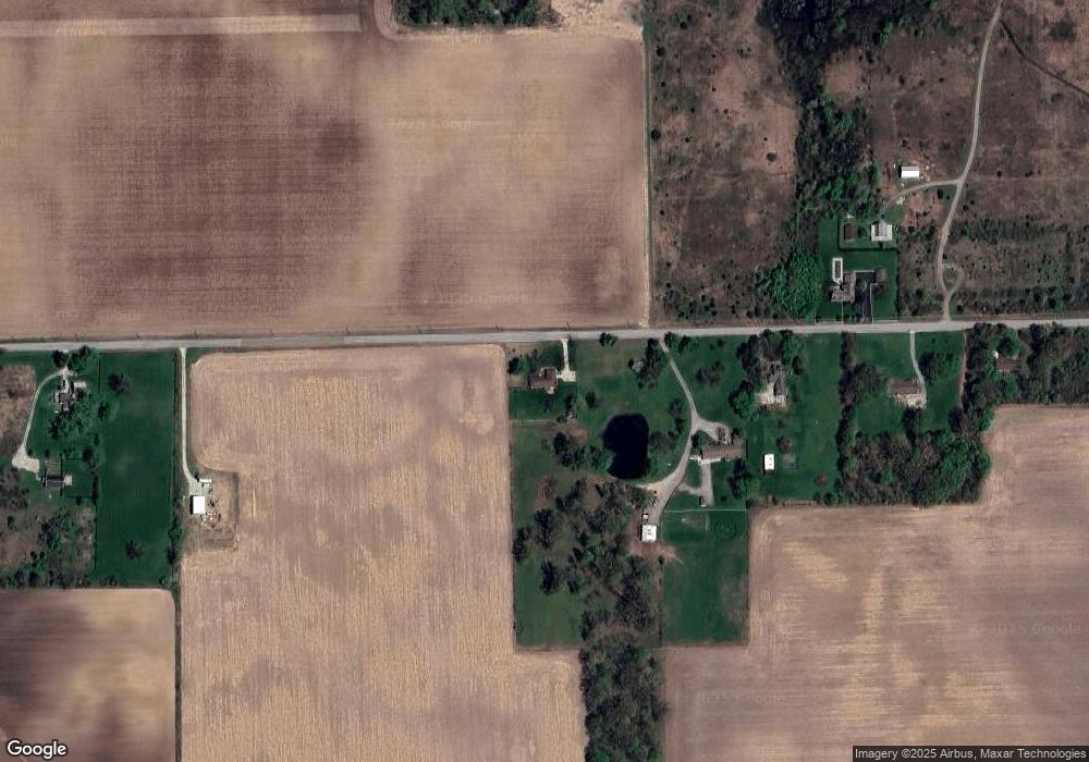
Map
Nearby Homes
- 523 S 700 E
- 2270 Holiday Creek Dr
- Grand Bahama Plan at Jackson Run
- Cedar Plan at Jackson Run
- Hazel Plan at Jackson Run
- Eden Cay Plan at Jackson Run
- Elder Plan at Jackson Run
- 2252 Stony Creek Dr
- 2329 Holiday Creek Dr
- 2399 Holiday Creek Dr
- 2234 Walnut Fork Dr
- 2413 Stony Creek Dr
- Convington Plan at Jackson Run - The District
- Quincy Plan at Jackson Run - The District
- Woodburn Plan at Jackson Run - The District
- Monroe Plan at Jackson Run - The District
- Osgood Plan at Jackson Run - The District
- Hanover Plan at Jackson Run - The District
- New Haven Plan at Jackson Run - The District
- 7187 Fowler Dr
- 7445 E 100 S
- 7529 E 100 S
- 7563 E 100 S
- 7600 E 100 S
- 7637 E 100 S
- 7660 E 100 S
- 7201 E 100 S
- 7681 E 100 S
- 503 & 555 Pierce St
- 0 Landlocked Unit 21347438
- 600 E 400 South Co Rd
- 0 500 E Unit 2847142
- 0 500 E Unit 2847113
- TBD S 300
- 600 S C R 650e
- 0 SW Corner of I65 Exit 133 Rd Unit 21108466
- 0CR 100 Dr N
- 0CR 100 North Dr
- 3689 S 650 650 Dr E
- & State Road 421