7446 Todds Wharf Rd Preston, MD 21655
Estimated Value: $534,167 - $568,000
Studio
2
Baths
1,674
Sq Ft
$332/Sq Ft
Est. Value
About This Home
This home is located at 7446 Todds Wharf Rd, Preston, MD 21655 and is currently estimated at $556,389, approximately $332 per square foot. 7446 Todds Wharf Rd is a home located in Caroline County with nearby schools including Preston Elementary School, Colonel Richardson Middle School, and Colonel Richardson High School.
Ownership History
Date
Name
Owned For
Owner Type
Purchase Details
Closed on
Apr 12, 2004
Sold by
Wojnowski Michael P
Bought by
Wojnowski Michael P and Wojnowski Mary
Current Estimated Value
Purchase Details
Closed on
Nov 14, 1986
Sold by
Wildman Wildman H and Wildman Helen
Bought by
Wojnowski Michael P
Home Financials for this Owner
Home Financials are based on the most recent Mortgage that was taken out on this home.
Original Mortgage
$39,000
Interest Rate
9.81%
Create a Home Valuation Report for This Property
The Home Valuation Report is an in-depth analysis detailing your home's value as well as a comparison with similar homes in the area
Home Values in the Area
Average Home Value in this Area
Purchase History
| Date | Buyer | Sale Price | Title Company |
|---|---|---|---|
| Wojnowski Michael P | -- | -- | |
| Wojnowski Michael P | $89,900 | -- |
Source: Public Records
Mortgage History
| Date | Status | Borrower | Loan Amount |
|---|---|---|---|
| Previous Owner | Wojnowski Michael P | $39,000 |
Source: Public Records
Tax History
| Year | Tax Paid | Tax Assessment Tax Assessment Total Assessment is a certain percentage of the fair market value that is determined by local assessors to be the total taxable value of land and additions on the property. | Land | Improvement |
|---|---|---|---|---|
| 2025 | $4,513 | $407,800 | $107,400 | $300,400 |
| 2024 | $4,063 | $366,567 | $0 | $0 |
| 2023 | $3,332 | $325,333 | $0 | $0 |
| 2022 | $3,162 | $284,100 | $107,400 | $176,700 |
| 2020 | $1,051 | $318,133 | $0 | $0 |
| 2019 | $3,525 | $317,300 | $154,000 | $163,300 |
| 2018 | $3,465 | $317,300 | $154,000 | $163,300 |
| 2017 | $3,465 | $317,300 | $0 | $0 |
| 2016 | -- | $318,700 | $0 | $0 |
| 2015 | -- | $218,600 | $0 | $0 |
| 2014 | -- | $218,600 | $0 | $0 |
Source: Public Records
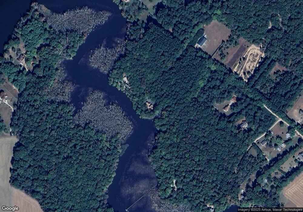
Map
Nearby Homes
- 7837 Shore Dr
- 24383 Robins Creek Rd
- 23116 Gilpin Point Rd
- 0 Laurel Ln
- 23296 Wilder Way
- 7192 American Corner Rd
- 33293 Matthewstown Rd
- 8578 Tuckahoe Rd
- 22889 Hog Creek Rd
- 24764 Pealiquor Rd
- 6401 Laurel Grove Rd
- 24276 Asbury Dr
- LOT #6 High Banks Dr
- 0 High Banks Dr
- 7904 Clark Rd
- 8409 Harmony Rd
- 8416 Harmony Rd
- 8780 Marsh View Rd
- 22408 Hog Creek Rd
- 5585 Harmony Woods Dr
- 7408 Todds Wharf Rd
- 7450 Todds Wharf Rd
- 7392 Todds Wharf Rd
- 7400 Todds Wharf Rd
- 7380 Todds Wharf Rd
- 7364 Todds Wharf Rd
- 7373 Todds Wharf Rd
- 7460 Todds Wharf Rd
- 7396 Todds Wharf Rd
- 7350 Todds Wharf Rd
- 7360 Todds Wharf Rd
- 7346 Todds Wharf Rd
- 7343 Todds Wharf Rd
- 7347 Todds Wharf Rd
- 7453 Todds Wharf Rd
- 23558 Gilpin Point Rd
- 7351 Todds Wharf Rd
- 7280 Todds Wharf Rd
- 7359 Todds Wharf Rd
- 7305 Todds Wharf Rd
Your Personal Tour Guide
Ask me questions while you tour the home.