7448 E Black Rock Rd Scottsdale, AZ 85255
Pinnacle Peak NeighborhoodEstimated Value: $938,000 - $1,102,000
--
Bed
4
Baths
3,068
Sq Ft
$326/Sq Ft
Est. Value
About This Home
This home is located at 7448 E Black Rock Rd, Scottsdale, AZ 85255 and is currently estimated at $1,001,556, approximately $326 per square foot. 7448 E Black Rock Rd is a home located in Maricopa County with nearby schools including Pinnacle Peak Elementary School, Explorer Middle School, and Pinnacle High School.
Ownership History
Date
Name
Owned For
Owner Type
Purchase Details
Closed on
Sep 20, 2018
Sold by
Cannon Shawn N and Cannon Michele E
Bought by
Cannon Shawn N and Cannon Michele E
Current Estimated Value
Purchase Details
Closed on
Jan 14, 1997
Sold by
Tannehill Richard Michael and Tannehill Dolores Diane
Bought by
Cannon Shawn N and Cannon Michele E
Home Financials for this Owner
Home Financials are based on the most recent Mortgage that was taken out on this home.
Original Mortgage
$166,400
Outstanding Balance
$18,228
Interest Rate
7.85%
Mortgage Type
New Conventional
Estimated Equity
$983,328
Purchase Details
Closed on
May 24, 1996
Sold by
Tannehill Richard Michael and Tannehill Dolores Diane
Bought by
Tannehill Richard Michael and Tannehill Dolores Diane
Create a Home Valuation Report for This Property
The Home Valuation Report is an in-depth analysis detailing your home's value as well as a comparison with similar homes in the area
Home Values in the Area
Average Home Value in this Area
Purchase History
| Date | Buyer | Sale Price | Title Company |
|---|---|---|---|
| Cannon Shawn N | -- | None Available | |
| Cannon Shawn N | $208,000 | Fiesta Title & Escrow Agency | |
| Tannehill Richard Michael | -- | -- |
Source: Public Records
Mortgage History
| Date | Status | Borrower | Loan Amount |
|---|---|---|---|
| Open | Cannon Shawn N | $166,400 |
Source: Public Records
Tax History Compared to Growth
Tax History
| Year | Tax Paid | Tax Assessment Tax Assessment Total Assessment is a certain percentage of the fair market value that is determined by local assessors to be the total taxable value of land and additions on the property. | Land | Improvement |
|---|---|---|---|---|
| 2025 | $4,518 | $57,765 | -- | -- |
| 2024 | $4,444 | $55,014 | -- | -- |
| 2023 | $4,444 | $67,030 | $13,400 | $53,630 |
| 2022 | $4,371 | $50,230 | $10,040 | $40,190 |
| 2021 | $4,461 | $47,600 | $9,520 | $38,080 |
| 2020 | $4,320 | $45,260 | $9,050 | $36,210 |
| 2019 | $4,479 | $44,210 | $8,840 | $35,370 |
| 2018 | $4,340 | $44,070 | $8,810 | $35,260 |
| 2017 | $4,123 | $43,670 | $8,730 | $34,940 |
| 2016 | $4,071 | $42,620 | $8,520 | $34,100 |
| 2015 | $3,851 | $41,200 | $8,240 | $32,960 |
Source: Public Records
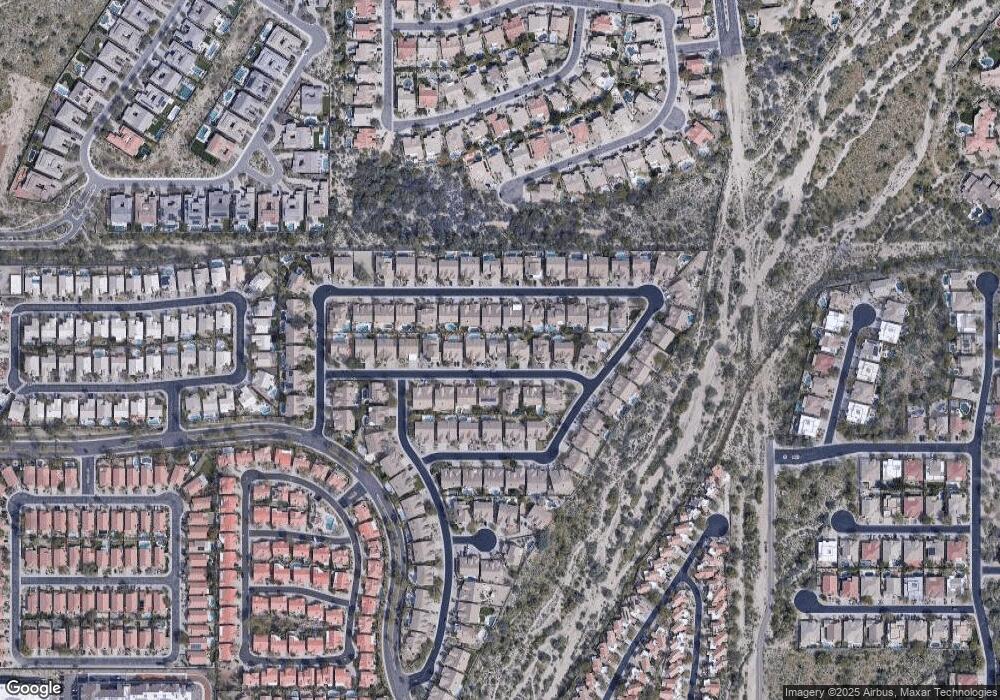
Map
Nearby Homes
- 24404 N 73rd St
- 7393 E Hanover Way
- 24329 N 72nd Way
- 24346 N 72nd Way
- 23890 N 72nd Place
- 23382 N 73rd Place
- 23461 N 76th Place
- 7520 E Desert Vista Rd
- 7328 E Vista Bonita Dr
- 7832 E Parkview Ln
- 23560 N 78th St
- 7914 E Softwind Dr
- 7340 E Conquistadores Dr
- 23133 N 73rd Place
- 23226 N 74th Place
- 23127 N 73rd Way
- 23118 N 74th Place
- 7449 E Via de Luna Dr
- 7508 E Via de Luna Dr
- 22943 N 73rd Way
- 7454 E Black Rock Rd
- 7442 E Black Rock Rd
- 7449 E Sand Hills Rd
- 7455 E Sand Hills Rd
- 7443 E Sand Hills Rd
- 7436 E Black Rock Rd Unit 201
- 7436 E Black Rock Rd
- 7460 E Black Rock Rd
- 7447 E Black Rock Rd
- 7453 E Black Rock Rd
- 7461 E Sand Hills Rd
- 7441 E Black Rock Rd
- 7437 E Sand Hills Rd
- 7459 E Black Rock Rd
- 7430 E Black Rock Rd
- 7467 E Sand Hills Rd
- 7466 E Black Rock 4% Co Broke Rd
- 7466 E Black Rock Rd
- 7435 E Black Rock Rd
- 7465 E Black Rock Rd