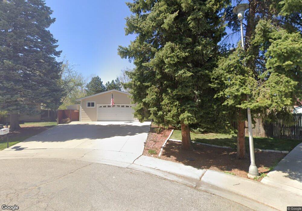
7449 Garrison Ct Arvada, CO 80005
Club Crest NeighborhoodEstimated Value: $687,000 - $772,000
3
Beds
5
Baths
2,024
Sq Ft
$357/Sq Ft
Est. Value
About This Home
This home is located at 7449 Garrison Ct, Arvada, CO 80005 and is currently estimated at $722,249, approximately $356 per square foot. 7449 Garrison Ct is a home located in Jefferson County with nearby schools including Warder Elementary School, Pomona High School, and Lincoln Charter Academy.
Ownership History
Date
Name
Owned For
Owner Type
Purchase Details
Closed on
Dec 17, 2003
Sold by
Eloe David D
Bought by
Eloe David D and Eloe Patricia J
Current Estimated Value
Purchase Details
Closed on
Dec 16, 2003
Sold by
Eloe Audrey E
Bought by
Eloe David D
Purchase Details
Closed on
Aug 22, 2003
Sold by
Eloe David D
Bought by
Eloe David D and Eloe Patricia
Home Financials for this Owner
Home Financials are based on the most recent Mortgage that was taken out on this home.
Original Mortgage
$180,000
Interest Rate
4.12%
Mortgage Type
Purchase Money Mortgage
Create a Home Valuation Report for This Property
The Home Valuation Report is an in-depth analysis detailing your home's value as well as a comparison with similar homes in the area
Home Values in the Area
Average Home Value in this Area
Purchase History
| Date | Buyer | Sale Price | Title Company |
|---|---|---|---|
| Eloe David D | -- | -- | |
| Eloe David D | -- | -- | |
| Eloe David D | -- | Cpr Title |
Source: Public Records
Mortgage History
| Date | Status | Borrower | Loan Amount |
|---|---|---|---|
| Closed | Eloe David D | $180,000 |
Source: Public Records
Tax History
| Year | Tax Paid | Tax Assessment Tax Assessment Total Assessment is a certain percentage of the fair market value that is determined by local assessors to be the total taxable value of land and additions on the property. | Land | Improvement |
|---|---|---|---|---|
| 2024 | $3,982 | $47,755 | $14,518 | $33,237 |
| 2023 | $3,982 | $47,755 | $14,518 | $33,237 |
| 2022 | $2,914 | $36,710 | $12,481 | $24,229 |
| 2021 | $2,963 | $37,768 | $12,841 | $24,927 |
| 2020 | $2,788 | $36,037 | $11,620 | $24,417 |
| 2019 | $2,750 | $36,037 | $11,620 | $24,417 |
| 2018 | $2,354 | $31,237 | $9,133 | $22,104 |
| 2017 | $2,155 | $31,237 | $9,133 | $22,104 |
| 2016 | $2,002 | $29,003 | $7,853 | $21,150 |
| 2015 | $1,680 | $29,003 | $7,853 | $21,150 |
| 2014 | $1,680 | $24,550 | $7,723 | $16,827 |
Source: Public Records
Map
Nearby Homes
- 9651 W 75th Place
- 9738 Sierra Dr
- 9097 W 77th Place
- 7561 Johnson St
- 8571 W 71st Cir
- 7552 Lee Dr
- 9909 W 70th Ave
- 6966 Dudley Dr
- 7670 Lewis Ct
- 8612 W 69th Place
- 8043 W 78th Place
- 8830 W 80th Dr
- 8037 Iris Ct
- 10512 W 75th Ave
- 7883 Allison Way Unit 302
- 10250 W 73rd Place
- 8049 Jellison St
- 0 80th Ave
- 9369 W 67th Ave
- 10172 W 69th Ave
- 7429 Garrison Ct
- 7422 Garland St
- 7444 Garrison Ct
- 7412 Garland St
- 7432 Garland St
- 7409 Garrison Ct
- 9255 W 74th Ave
- 9094 W 75th Way
- 9064 W 75th Way
- 7402 Garland St
- 9124 W 75th Way
- 9215 W 74th Ave
- 7442 Garland St
- 9034 W 75th Way
- 7424 Garrison Ct
- 7427 Garland St
- 7417 Garland St
- 9154 W 75th Way
- 9004 W 75th Way
- 9185 W 74th Ave
Your Personal Tour Guide
Ask me questions while you tour the home.