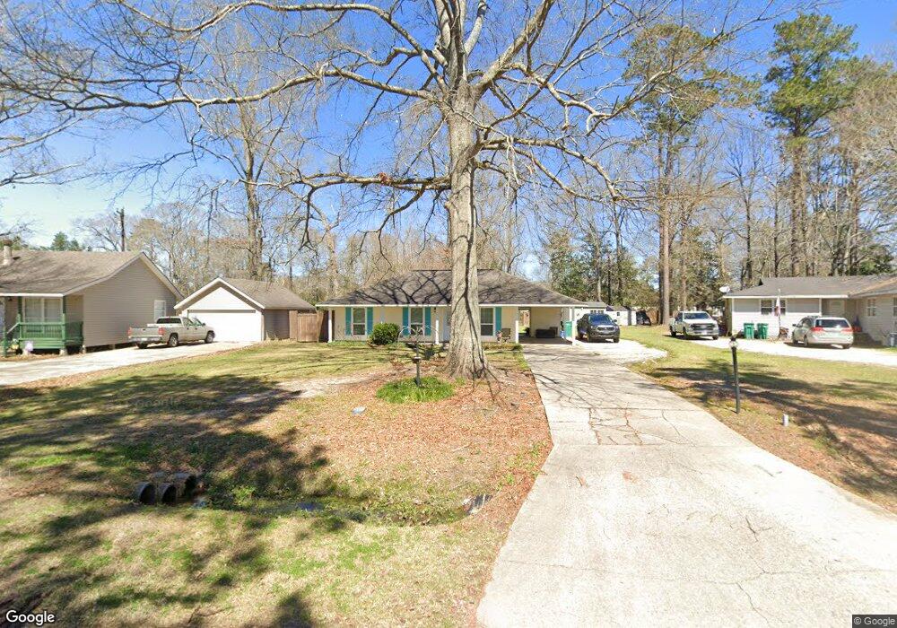
7449 Robinson Dr Denham Springs, LA 70706
Estimated Value: $177,147 - $219,000
--
Bed
--
Bath
--
Sq Ft
0.35
Acres
About This Home
This home is located at 7449 Robinson Dr, Denham Springs, LA 70706 and is currently estimated at $199,287. 7449 Robinson Dr is a home located in Livingston Parish with nearby schools including Northside Elementary School, Denham Springs Junior High School, and Denham Springs High School.
Ownership History
Date
Name
Owned For
Owner Type
Purchase Details
Closed on
Mar 13, 2025
Sold by
Howard Taylor Jr Charles and Contant Lori
Bought by
Taylor Ray Melissa and Ray Jason A
Current Estimated Value
Create a Home Valuation Report for This Property
The Home Valuation Report is an in-depth analysis detailing your home's value as well as a comparison with similar homes in the area
Home Values in the Area
Average Home Value in this Area
Purchase History
| Date | Buyer | Sale Price | Title Company |
|---|---|---|---|
| Taylor Ray Melissa | -- | None Listed On Document |
Source: Public Records
Tax History Compared to Growth
Tax History
| Year | Tax Paid | Tax Assessment Tax Assessment Total Assessment is a certain percentage of the fair market value that is determined by local assessors to be the total taxable value of land and additions on the property. | Land | Improvement |
|---|---|---|---|---|
| 2024 | $1,427 | $13,428 | $1,970 | $11,458 |
| 2023 | $1,193 | $10,090 | $1,970 | $8,120 |
| 2022 | $1,202 | $10,090 | $1,970 | $8,120 |
| 2021 | $1,205 | $10,090 | $1,970 | $8,120 |
| 2020 | $1,191 | $10,090 | $1,970 | $8,120 |
| 2019 | $839 | $7,080 | $1,970 | $5,110 |
| 2018 | $850 | $7,080 | $1,970 | $5,110 |
| 2017 | $815 | $6,820 | $1,970 | $4,850 |
| 2015 | $123 | $8,530 | $1,970 | $6,560 |
| 2014 | $126 | $8,530 | $1,970 | $6,560 |
Source: Public Records
Map
Nearby Homes
- 7367 Fox Run
- 32495 Magnolia Ct
- 32508 Magnolia Ct
- 7420 Linda Lee Dr
- 7645 Elmwood Dr
- 7230 Linda Lee Dr
- 32410 Brandywood Dr
- 7736 Amite Church Rd
- 7681 Amite Church Rd
- 32528 Cedar Ct
- 32445 Curtis Cove Ln
- 32505 Cynthia Dr
- 32491 Cynthia Dr
- 7175 Bessie Dr
- 7323 Bessie Dr
- 32374 Plainview Rd
- 7299 Effie Dr
- 7275 Effie Dr
- 33511 Tenor Dr
- 7898 Parham Ave
- 7435 Robinson Dr
- 7471 Robinson Dr
- 7440 Robinson Dr
- 7481 Robinson Dr
- 7460 Robinson Dr
- 32669 Carol Ann Dr
- 32675 Carol Ann Dr
- 7401 Robinson Dr
- 7407 Fox Run
- 32670 Carol Ann Dr
- 7402 Robinson Dr
- 32681 Carol Ann Dr
- 32664 Carol Ann Dr
- 7401 Fox Run
- 32680 Carol Ann Dr
- 7375 Robinson Dr
- 7415 Fox Run
- 7388 Robinson Dr
- 7395 Fox Run
- 32701 Carol Ann Dr