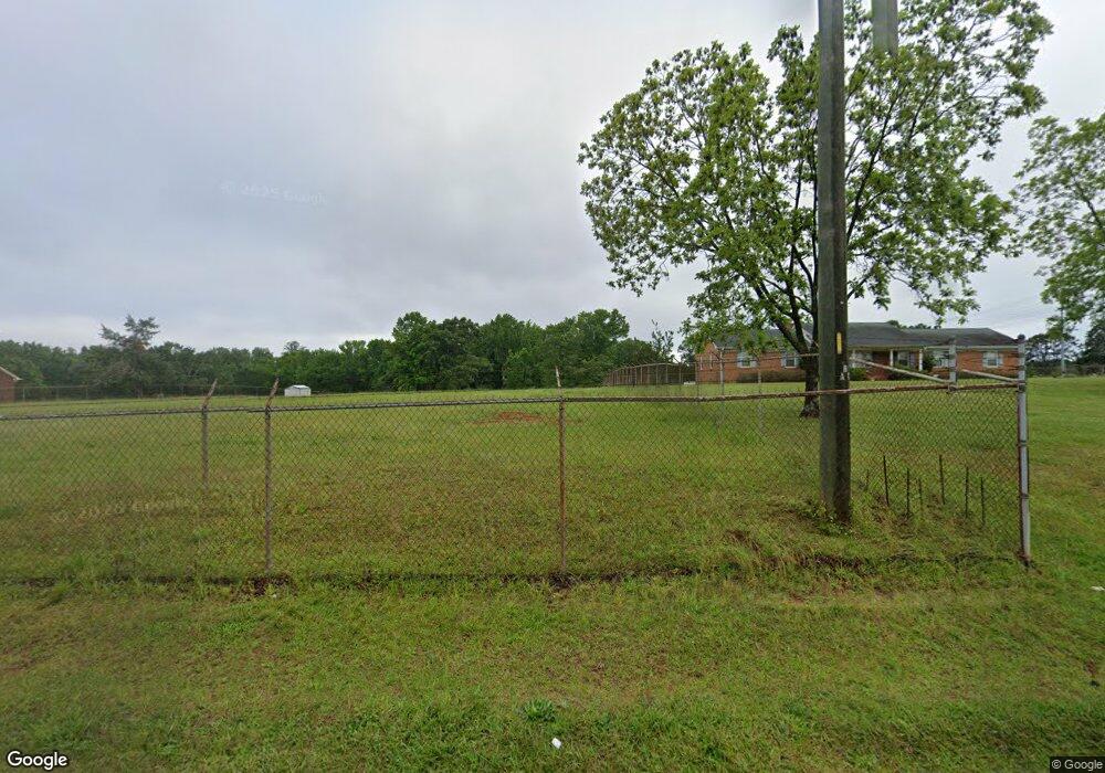
745 Adams Mill Rd Simpsonville, SC 29681
Estimated Value: $1,054,148 - $1,061,000
3
Beds
2
Baths
1,891
Sq Ft
$559/Sq Ft
Est. Value
About This Home
This home is located at 745 Adams Mill Rd, Simpsonville, SC 29681 and is currently estimated at $1,057,574, approximately $559 per square foot. 745 Adams Mill Rd is a home located in Greenville County with nearby schools including Monarch Elementary, Mauldin Middle School, and Mauldin High School.
Ownership History
Date
Name
Owned For
Owner Type
Purchase Details
Closed on
Apr 30, 2025
Sold by
Thackston Alvin H and Thackston Myra Tate
Bought by
Drb Group South Carolina Llc
Current Estimated Value
Purchase Details
Closed on
Sep 30, 2013
Sold by
Thackston Myra and Tate Rosa Mae
Bought by
Thackston Myra and Thackston Myra Tate
Purchase Details
Closed on
Dec 3, 2012
Sold by
Thackston Alvin H and Thackston Myra T
Bought by
Thackston Alvin H and Thackston Myra T
Create a Home Valuation Report for This Property
The Home Valuation Report is an in-depth analysis detailing your home's value as well as a comparison with similar homes in the area
Home Values in the Area
Average Home Value in this Area
Purchase History
| Date | Buyer | Sale Price | Title Company |
|---|---|---|---|
| Drb Group South Carolina Llc | -- | None Listed On Document | |
| Drb Group South Carolina Llc | -- | None Listed On Document | |
| Drb Group South Carolina Llc | $1,043,180 | None Listed On Document | |
| Drb Group South Carolina Llc | $1,043,180 | None Listed On Document | |
| Thackston Myra | -- | -- | |
| Thackston Alvin H | -- | -- |
Source: Public Records
Tax History Compared to Growth
Tax History
| Year | Tax Paid | Tax Assessment Tax Assessment Total Assessment is a certain percentage of the fair market value that is determined by local assessors to be the total taxable value of land and additions on the property. | Land | Improvement |
|---|---|---|---|---|
| 2024 | $565 | $5,580 | $1,420 | $4,160 |
| 2023 | $565 | $5,580 | $1,420 | $4,160 |
| 2022 | $546 | $5,580 | $1,420 | $4,160 |
| 2021 | $537 | $5,580 | $1,420 | $4,160 |
| 2020 | $519 | $5,170 | $1,220 | $3,950 |
| 2019 | $511 | $5,170 | $1,220 | $3,950 |
| 2018 | $522 | $5,170 | $1,220 | $3,950 |
| 2017 | $522 | $5,170 | $1,200 | $3,970 |
| 2016 | $492 | $129,240 | $30,520 | $98,720 |
| 2015 | $491 | $129,240 | $30,520 | $98,720 |
| 2014 | $646 | $142,350 | $30,520 | $111,830 |
Source: Public Records
Map
Nearby Homes
- 317 Squires Creek Rd
- 401 Crestridge Dr
- 712 Spring Lake Loop
- 206 Squires Creek Rd
- 5 Kinglet Ct
- 135 Adams Creek Place
- 217 Lovelace Ct
- 1 Dillworth Ct
- 6 Avenel Ct
- 29 Everleigh Ct
- 220 Waters Run Ln
- 225 Highgrove Ct
- 108 Brown Ln
- 401 Ashridge Way
- 200 Waterville Way
- 108 Waterville Way
- 303 Latrobe Dr
- 113 Grayhawk Way
- 406 Latrobe Dr
- 3 Karsten Creek Dr
- 741 Adams Mill Rd
- 102 Keswick Trail
- 100 Adams Lake Blvd
- 128 Adams Lake Blvd
- 104 Keswick Trail
- 101 Keswick Trail
- 118 Spring Lake Loop
- 106 Keswick Trail
- 105 Keswick Trail
- 202 Spring Lake Loop
- 116 Spring Lake Loop
- 206 Spring Lake Loop
- 114 Spring Lake Loop
- 108 Keswick Trail
- 107 Keswick Trail
- 112 Spring Lake Loop
- 210 Spring Lake Loop
- 109 Keswick Trail
- 110 Keswick Trail
- 201 Spring Lake Loop