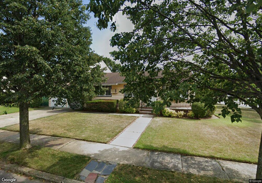
745 Anderson Ave Franklin Square, NY 11010
Estimated Value: $597,000 - $622,847
4
Beds
3
Baths
1,475
Sq Ft
$414/Sq Ft
Est. Value
About This Home
This home is located at 745 Anderson Ave, Franklin Square, NY 11010 and is currently estimated at $609,924, approximately $413 per square foot. 745 Anderson Ave is a home located in Nassau County with nearby schools including Hebrew Academy of Nassau County (HANC).
Ownership History
Date
Name
Owned For
Owner Type
Purchase Details
Closed on
Sep 11, 2025
Sold by
Portela Juan De Jesus and Gil Lilliana Portela
Bought by
Easton Capital Corp
Current Estimated Value
Purchase Details
Closed on
Feb 29, 2016
Sold by
Lundgren Ronald and Lundgren Anna
Bought by
745 Anderson Corp
Home Financials for this Owner
Home Financials are based on the most recent Mortgage that was taken out on this home.
Original Mortgage
$332,500
Interest Rate
3.72%
Mortgage Type
Commercial
Create a Home Valuation Report for This Property
The Home Valuation Report is an in-depth analysis detailing your home's value as well as a comparison with similar homes in the area
Home Values in the Area
Average Home Value in this Area
Purchase History
| Date | Buyer | Sale Price | Title Company |
|---|---|---|---|
| Easton Capital Corp | $200,000 | Stewart Title Ins Company | |
| 745 Anderson Corp | $475,000 | Fidelity National Title Insu | |
| 745 Anderson Corp | $475,000 | Fidelity National Title Insu |
Source: Public Records
Mortgage History
| Date | Status | Borrower | Loan Amount |
|---|---|---|---|
| Previous Owner | 745 Anderson Corp | $332,500 |
Source: Public Records
Tax History Compared to Growth
Tax History
| Year | Tax Paid | Tax Assessment Tax Assessment Total Assessment is a certain percentage of the fair market value that is determined by local assessors to be the total taxable value of land and additions on the property. | Land | Improvement |
|---|---|---|---|---|
| 2025 | $15,804 | $606 | $260 | $346 |
| 2024 | $7,230 | $606 | $260 | $346 |
| 2023 | $14,093 | $606 | $260 | $346 |
| 2022 | $14,093 | $606 | $260 | $346 |
| 2021 | $17,984 | $580 | $249 | $331 |
| 2020 | $21,247 | $698 | $432 | $266 |
| 2019 | $12,741 | $640 | $432 | $208 |
| 2018 | $10,652 | $640 | $0 | $0 |
| 2017 | $5,016 | $640 | $408 | $232 |
| 2016 | $8,410 | $677 | $388 | $289 |
| 2015 | $3,535 | $715 | $410 | $305 |
| 2014 | $3,535 | $715 | $410 | $305 |
| 2013 | $3,485 | $753 | $432 | $321 |
Source: Public Records
Map
Nearby Homes
- 708 Anderson Ave
- 816 Anderson Ave
- 726 Meisser St
- 600 Dogwood Ave
- 865 Third Ave
- 850 First Ave
- 791 Caryl St
- 993 Ferngate Dr
- 911 First Ave
- 807 Cypress Dr
- 757 Marion St
- 1053 Lorraine Dr
- 1048 Windermere Rd
- 818 Palmetto Dr
- 1027 Windermere Rd
- 1047 Windermere Rd
- 422 Saint Agnes Place
- 1007 Third Ave
- 89 Parkview Place
- 73 Parkview Place
- 748 Sprague Ave
- 731 Anderson Ave
- 632 Cox St
- 738 Sprague Ave
- 757 Anderson Ave
- 758 Doughty Ave
- 631 Cox St
- 752 Anderson Ave
- 725 Anderson Ave
- 757 Doughty Ave
- 726 Sprague Ave
- 726 Anderson Ave
- 758 Anderson Ave
- 743 Sprague Ave
- 612 Cox St
- 719 Anderson Ave
- 768 Doughty Ave
- 731 Byron Ave
- 720 Sprague Ave
- 720 Anderson Ave