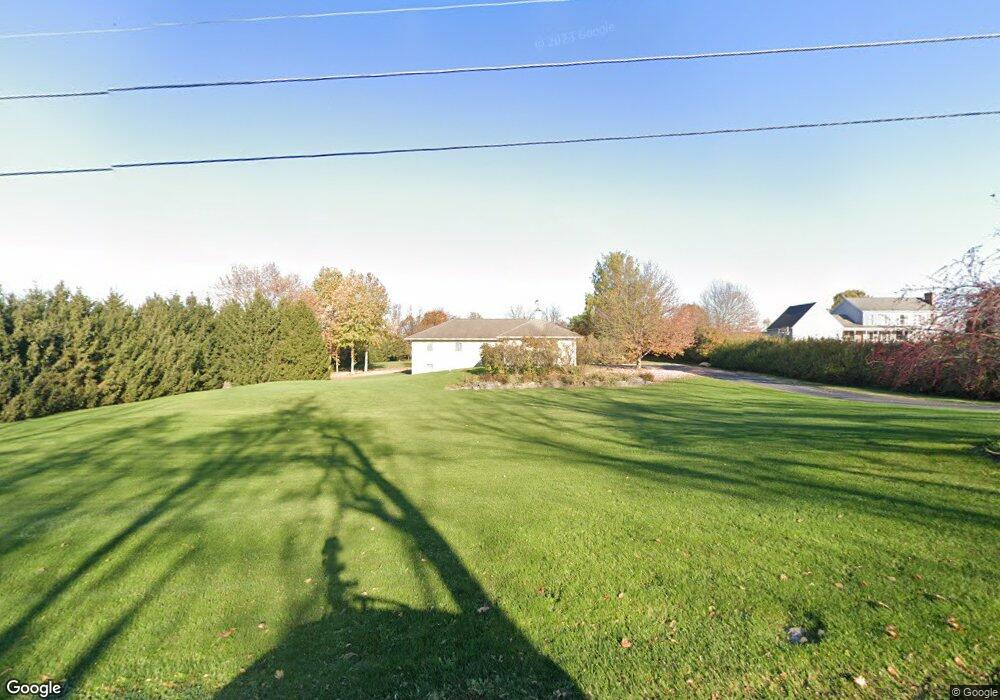
745 Burnt House Rd Carlisle, PA 17015
Estimated Value: $405,000 - $571,000
3
Beds
2
Baths
1,860
Sq Ft
$253/Sq Ft
Est. Value
About This Home
This home is located at 745 Burnt House Rd, Carlisle, PA 17015 and is currently estimated at $470,779, approximately $253 per square foot. 745 Burnt House Rd is a home located in Cumberland County with nearby schools including North Dickinson Elementary School, Lamberton Middle School, and Carlisle Area High School.
Ownership History
Date
Name
Owned For
Owner Type
Purchase Details
Closed on
May 13, 2006
Sold by
Sacrist David A
Bought by
Birsch Douglas R
Current Estimated Value
Home Financials for this Owner
Home Financials are based on the most recent Mortgage that was taken out on this home.
Original Mortgage
$212,000
Interest Rate
6.83%
Mortgage Type
New Conventional
Purchase Details
Closed on
Aug 1, 2002
Sold by
Delp Charles D
Bought by
Secrist David A
Home Financials for this Owner
Home Financials are based on the most recent Mortgage that was taken out on this home.
Original Mortgage
$45,000
Interest Rate
6.61%
Purchase Details
Closed on
Aug 4, 1999
Sold by
Rockwell Farms
Bought by
Delp Charles D
Home Financials for this Owner
Home Financials are based on the most recent Mortgage that was taken out on this home.
Original Mortgage
$35,500
Interest Rate
7.65%
Create a Home Valuation Report for This Property
The Home Valuation Report is an in-depth analysis detailing your home's value as well as a comparison with similar homes in the area
Home Values in the Area
Average Home Value in this Area
Purchase History
| Date | Buyer | Sale Price | Title Company |
|---|---|---|---|
| Birsch Douglas R | $265,000 | -- | |
| Secrist David A | $56,000 | -- | |
| Delp Charles D | $44,400 | -- |
Source: Public Records
Mortgage History
| Date | Status | Borrower | Loan Amount |
|---|---|---|---|
| Previous Owner | Birsch Douglas R | $212,000 | |
| Previous Owner | Secrist David A | $45,000 | |
| Previous Owner | Delp Charles D | $35,500 |
Source: Public Records
Tax History Compared to Growth
Tax History
| Year | Tax Paid | Tax Assessment Tax Assessment Total Assessment is a certain percentage of the fair market value that is determined by local assessors to be the total taxable value of land and additions on the property. | Land | Improvement |
|---|---|---|---|---|
| 2025 | $5,606 | $270,300 | $126,500 | $143,800 |
| 2024 | $5,423 | $270,300 | $126,500 | $143,800 |
| 2023 | $5,226 | $270,300 | $126,500 | $143,800 |
| 2022 | $4,939 | $270,300 | $126,500 | $143,800 |
| 2021 | $4,856 | $270,300 | $126,500 | $143,800 |
| 2020 | $4,735 | $270,300 | $126,500 | $143,800 |
| 2019 | $4,617 | $270,300 | $126,500 | $143,800 |
| 2018 | $4,500 | $270,300 | $126,500 | $143,800 |
| 2017 | $4,393 | $270,300 | $126,500 | $143,800 |
| 2016 | -- | $270,300 | $126,500 | $143,800 |
| 2015 | -- | $270,300 | $126,500 | $143,800 |
| 2014 | -- | $270,300 | $126,500 | $143,800 |
Source: Public Records
Map
Nearby Homes
- 92 Long Bend Dr
- 44 Sandy Bottom Rd
- 8 Mccoy Ln
- 16 Peyton Dr
- 109 Sycamore Dr
- 210 Sunset Dr
- 711 W Pine St
- 101 Westgate Dr
- 200 Westgate Dr
- 3 Maurice Rd
- 238 Parkway Dr
- 18 Annendale Dr
- 1554 Holly Pike
- 610 Woodland Ave
- 303 W Pine St
- 420 Chestnut St
- 51 Heisers Ln
- 99 Garfield Dr
- 7 Beverly Ct
- 1011 Stonehill Ln
- 749 Burnt House Rd
- 3 Farm Ln
- 753 Burnt House Rd
- 750 Burnt House Rd
- 4 Farm Ln
- 6 Farm Ln
- 754 Burnt House Rd
- 10 Makenzee Dr
- 9 Farm Ln
- 757 Burnt House Rd
- 757 Burnthouse Rd
- 12 Makenzee Dr
- 756 Burnthouse Rd
- 756 Burnt House Rd
- 760 Burnt House Rd
- 8 Farm Ln
- 11 Farm Ln
- 11 Makenzee Dr
- 14 Makenzee Dr
- 761 Burnt House Rd