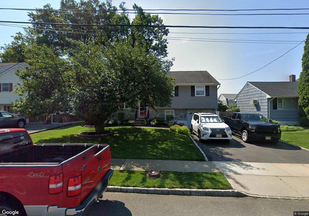
745 Cedar Crest Dr Bound Brook, NJ 08805
Estimated Value: $419,000 - $505,000
Studio
--
Bath
1,290
Sq Ft
$354/Sq Ft
Est. Value
About This Home
This home is located at 745 Cedar Crest Dr, Bound Brook, NJ 08805 and is currently estimated at $456,707, approximately $354 per square foot. 745 Cedar Crest Dr is a home located in Somerset County with nearby schools including LaMonte Annex Elementary School, Lafayette Elementary School, and Bound Brook High School.
Ownership History
Date
Name
Owned For
Owner Type
Purchase Details
Closed on
Mar 13, 1995
Sold by
Ortuso Leonard
Bought by
Smith Donald
Current Estimated Value
Home Financials for this Owner
Home Financials are based on the most recent Mortgage that was taken out on this home.
Original Mortgage
$121,000
Interest Rate
8.89%
Create a Home Valuation Report for This Property
The Home Valuation Report is an in-depth analysis detailing your home's value as well as a comparison with similar homes in the area
Home Values in the Area
Average Home Value in this Area
Purchase History
We collect this data history from publicly available records. To have your information removed, we recommend requesting removal directly through your county’s website.
| Date | Buyer | Sale Price | Title Company |
|---|---|---|---|
| Smith Donald | $151,000 | -- |
Source: Public Records
Mortgage History
We collect this data history from publicly available records. To have your information removed, we recommend requesting removal directly through your county’s website.
| Date | Status | Borrower | Loan Amount |
|---|---|---|---|
| Closed | Smith Donald | $121,000 |
Source: Public Records
Tax History
| Year | Tax Paid | Tax Assessment Tax Assessment Total Assessment is a certain percentage of the fair market value that is determined by local assessors to be the total taxable value of land and additions on the property. | Land | Improvement |
|---|---|---|---|---|
| 2025 | $8,863 | $414,600 | $268,000 | $146,600 |
| 2024 | $8,863 | $390,600 | $248,000 | $142,600 |
| 2023 | $8,776 | $372,200 | $233,000 | $139,200 |
| 2022 | $8,596 | $345,500 | $213,000 | $132,500 |
| 2021 | $7,717 | $286,300 | $168,000 | $118,300 |
| 2020 | $7,878 | $255,200 | $148,000 | $107,200 |
| 2019 | $7,717 | $238,400 | $148,000 | $90,400 |
| 2018 | $7,448 | $223,400 | $133,000 | $90,400 |
| 2017 | $7,354 | $215,600 | $128,000 | $87,600 |
| 2016 | $7,077 | $209,000 | $98,000 | $111,000 |
| 2015 | $6,774 | $204,600 | $88,000 | $116,600 |
| 2014 | $7,278 | $212,300 | $88,000 | $124,300 |
Source: Public Records
Map
Nearby Homes
- 213 Stratford Place
- 210 Stratford Place Unit 210
- 318 Stratford Place Unit 318
- 418 Stratford Place
- 322 Stratford Place
- 428 Helfin St
- 617 Vosseller Ave
- 561 Marion St
- 553 Marion St
- 317 Livingston St
- 153 W Union Ave
- 280 Metape Cir S
- 131 La Monte Ave
- 31 Romney Rd
- 65 Shady Ln
- 432 Talmage Ave
- 430 Talmadge Ave
- 27-29 Fisher Ave
- 17 Fisher Ave
- 520 Winsor St
- 749 Cedar Crest Dr
- 741 Cedar Crest Dr
- 617 Legion Ct
- 753 Cedar Crest Dr
- 737 Cedar Crest Dr
- 621 Legion Ct
- 613 Legion Ct
- 742 Cedar Crest Dr
- 746 Cedar Crest Dr
- 701 Lawrence Rd
- 733 Cedar Crest Dr
- 757 Cedar Crest Dr
- 609 Legion Ct
- 750 Cedar Crest Dr
- 625 Legion Ct
- 705 Lawrence Rd
- 605 Legion Ct
- 754 Cedar Crest Dr
- 709 Lawrence Rd
- 729 Cedar Crest Dr
Your Personal Tour Guide
Ask me questions while you tour the home.