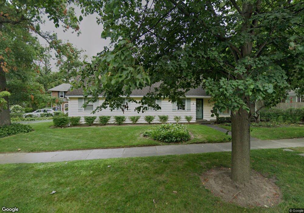
745 Evanston Ave Lake Bluff, IL 60044
Estimated Value: $808,300 - $1,088,000
Studio
2
Baths
2,534
Sq Ft
$382/Sq Ft
Est. Value
About This Home
This home is located at 745 Evanston Ave, Lake Bluff, IL 60044 and is currently estimated at $967,075, approximately $381 per square foot. 745 Evanston Ave is a home located in Lake County with nearby schools including Lake Bluff Elementary School, Lake Bluff Middle School, and Lake Forest High School.
Ownership History
Date
Name
Owned For
Owner Type
Purchase Details
Closed on
Sep 25, 2020
Sold by
Ryan Patrick D and Ryan Janice M
Bought by
Ryan Patrick D and Ryan Janice M
Current Estimated Value
Purchase Details
Closed on
Apr 6, 1998
Sold by
Browder Monte R and Browder Mary E M
Bought by
Ryan Patrick D and Ryan Janice M
Home Financials for this Owner
Home Financials are based on the most recent Mortgage that was taken out on this home.
Original Mortgage
$250,000
Outstanding Balance
$48,164
Interest Rate
7.27%
Estimated Equity
$918,911
Purchase Details
Closed on
Oct 28, 1996
Sold by
Martin Donald O and Martin Shirley H
Bought by
Browder Monte R and Browder Mary E M
Home Financials for this Owner
Home Financials are based on the most recent Mortgage that was taken out on this home.
Original Mortgage
$281,600
Interest Rate
7.87%
Create a Home Valuation Report for This Property
The Home Valuation Report is an in-depth analysis detailing your home's value as well as a comparison with similar homes in the area
Home Values in the Area
Average Home Value in this Area
Purchase History
| Date | Buyer | Sale Price | Title Company |
|---|---|---|---|
| Ryan Patrick D | -- | None Available | |
| Ryan Patrick D | $325,000 | Chicago Title Insurance Co | |
| Browder Monte R | $352,000 | Chicago Title Insurance Co |
Source: Public Records
Mortgage History
| Date | Status | Borrower | Loan Amount |
|---|---|---|---|
| Open | Ryan Patrick D | $250,000 | |
| Previous Owner | Browder Monte R | $281,600 |
Source: Public Records
Tax History
| Year | Tax Paid | Tax Assessment Tax Assessment Total Assessment is a certain percentage of the fair market value that is determined by local assessors to be the total taxable value of land and additions on the property. | Land | Improvement |
|---|---|---|---|---|
| 2024 | $14,202 | $224,519 | $123,564 | $100,955 |
| 2023 | $13,122 | $202,910 | $111,672 | $91,238 |
| 2022 | $13,122 | $191,486 | $105,385 | $86,101 |
| 2021 | $12,662 | $189,834 | $104,476 | $85,358 |
| 2020 | $12,388 | $190,884 | $105,054 | $85,830 |
| 2019 | $11,943 | $187,380 | $103,126 | $84,254 |
| 2018 | $13,163 | $209,535 | $114,566 | $94,969 |
| 2017 | $12,941 | $206,033 | $112,651 | $93,382 |
| 2016 | $12,469 | $196,109 | $107,225 | $88,884 |
| 2015 | $12,359 | $184,660 | $100,965 | $83,695 |
| 2014 | $10,696 | $160,392 | $90,647 | $69,745 |
| 2012 | $10,039 | $161,783 | $91,433 | $70,350 |
Source: Public Records
Map
Nearby Homes
- 120 E Scranton Ave Unit 103
- 120 E Scranton Ave Unit 201
- 120 E Scranton Ave Unit 202
- 120 E Scranton Ave Unit 102
- 120 E Scranton Ave Unit 203
- 216 E Scranton Ave
- 236 E Prospect Ave
- 205 Bradford Ct
- 317 Vincent Ct
- 505 Lincoln Ave
- 697 Bluff Rd
- 321 Newman Ct
- 505 Pine Ct
- 546 Lakeland Dr
- 55 Trowbridge Cir
- 175 Margate Ct
- 1061 Green Bay Rd
- 188 Melvin Dr
- 700 Forest Cove Rd
- 203 Park Ave
- 215 E Woodland Rd
- 206 E Washington Ave
- 216 E Washington Ave
- 141 E Woodland Rd
- 220 E Washington Ave
- 227 E Woodland Rd
- 146 E Woodland Rd
- 700 Evanston Ave
- 142 E Woodland Rd
- 224 E Woodland Rd
- 233 E Woodland Rd
- 136 E Woodland Rd
- 230 E Woodland Rd
- 213 E Washington Ave
- 133 E Woodland Rd
- 209 E Washington Ave
- 217 E Washington Ave
- 665 Evanston Ave
- 764 Evanston Ave
- 128 E Washington Ave