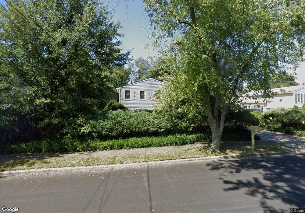
745 Lancing Rd West Deptford, NJ 08096
West Deptford Township NeighborhoodEstimated Value: $299,739 - $444,000
--
Bed
--
Bath
1,920
Sq Ft
$199/Sq Ft
Est. Value
About This Home
This home is located at 745 Lancing Rd, West Deptford, NJ 08096 and is currently estimated at $381,935, approximately $198 per square foot. 745 Lancing Rd is a home located in Gloucester County with nearby schools including Oakview Elementary School, Red Bank Elementary School, and Green-Fields Elementary School.
Ownership History
Date
Name
Owned For
Owner Type
Purchase Details
Closed on
Mar 9, 2023
Sold by
Sawn Antonio G and Sawn Corazon P
Bought by
Sazon Corazon P and Sazon Richard P
Current Estimated Value
Create a Home Valuation Report for This Property
The Home Valuation Report is an in-depth analysis detailing your home's value as well as a comparison with similar homes in the area
Home Values in the Area
Average Home Value in this Area
Purchase History
| Date | Buyer | Sale Price | Title Company |
|---|---|---|---|
| Sazon Corazon P | -- | None Listed On Document | |
| Sazon Corazon P | -- | None Listed On Document |
Source: Public Records
Tax History Compared to Growth
Tax History
| Year | Tax Paid | Tax Assessment Tax Assessment Total Assessment is a certain percentage of the fair market value that is determined by local assessors to be the total taxable value of land and additions on the property. | Land | Improvement |
|---|---|---|---|---|
| 2025 | $6,439 | $184,400 | $55,400 | $129,000 |
| 2024 | $6,356 | $184,400 | $55,400 | $129,000 |
| 2023 | $6,356 | $184,400 | $55,400 | $129,000 |
| 2022 | $6,327 | $184,400 | $55,400 | $129,000 |
| 2021 | $5,885 | $184,400 | $55,400 | $129,000 |
| 2020 | $6,290 | $184,400 | $55,400 | $129,000 |
| 2019 | $6,115 | $184,400 | $55,400 | $129,000 |
| 2018 | $5,949 | $184,400 | $55,400 | $129,000 |
| 2017 | $5,810 | $184,400 | $55,400 | $129,000 |
| 2016 | $5,648 | $184,400 | $55,400 | $129,000 |
| 2015 | $5,483 | $187,900 | $58,900 | $129,000 |
| 2014 | $5,210 | $187,900 | $58,900 | $129,000 |
Source: Public Records
Map
Nearby Homes
- 2 Victorian Way
- 3 Victorian Way
- 7 Victorian Way
- 83 Lynn Dr
- 112 N Drexel St
- 46 Lynn Dr
- 302 W Red Bank Ave
- 21 S Columbia St
- 815 Harker Ave
- 210 Lawnton Ave
- 654 Frances Ave
- 193 Dubois Ave
- 195 Delaware St
- 266 Passaic Ave
- 34 S Jackson St
- 125 S Davis St
- 1448 Victory Ave
- 340 High St
- 1156 Hessian Ave
- 1009 Hessian Ave
- 739 Lancing Rd
- 751 Lancing Rd
- 742 Sterling Rd
- 733 Lancing Rd
- 736 Sterling Rd
- 757 Lancing Rd
- 748 Lancing Rd
- 746 Sterling Rd
- 744 Lancing Rd
- 752 Lancing Rd
- 732 Sterling Rd
- 727 Lancing Rd
- 740 Lancing Rd
- 758 Lancing Rd
- 763 Lancing Rd
- 721 Lancing Rd
- 752 Sterling Rd
- 728 Sterling Rd
- 736 Lancing Rd
- 762 Lancing Rd