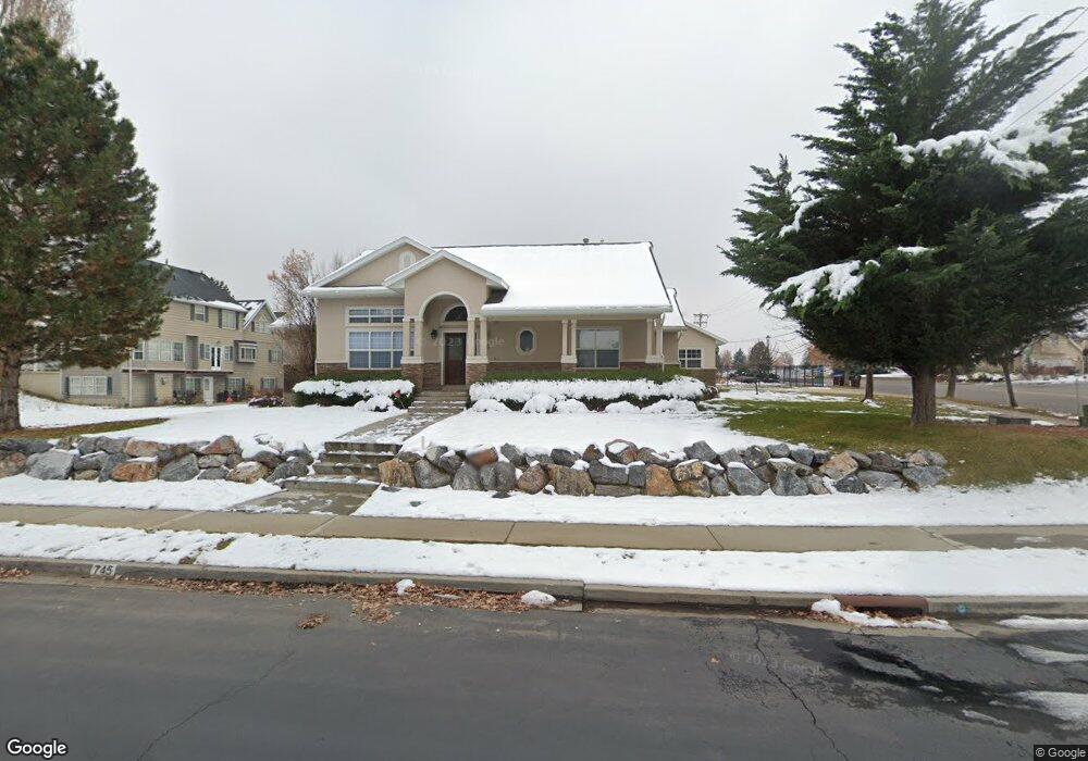
745 S High Bench Rd Alpine, UT 84004
Estimated Value: $966,000 - $1,337,000
About This Home
This home is located at 745 S High Bench Rd, Alpine, UT 84004 and is currently estimated at $1,113,452, approximately $227 per square foot. 745 S High Bench Rd is a home located in Utah County with nearby schools including Alpine School, Timberline Middle School, and Lone Peak High School.
Ownership History
We collect this data history from publicly available records. To have your information removed, we recommend requesting removal directly through your county’s website.
Purchase Details
Purchase Details
Home Financials for this Owner
Home Financials are based on the most recent Mortgage that was taken out on this home.Purchase Details
Home Financials for this Owner
Home Financials are based on the most recent Mortgage that was taken out on this home.Home Values in the Area
Average Home Value in this Area
Purchase History
We collect this data history from publicly available records. To have your information removed, we recommend requesting removal directly through your county’s website.
| Date | Buyer | Sale Price | Title Company |
|---|---|---|---|
| -- | Meridian Title | ||
| -- | Provo Land Title Co | ||
| -- | First American Title Co |
Mortgage History
We collect this data history from publicly available records. To have your information removed, we recommend requesting removal directly through your county’s website.
| Date | Status | Borrower | Loan Amount |
|---|---|---|---|
| Previous Owner | $340,000 | ||
| Previous Owner | $170,000 |
Tax History
We collect this data history from publicly available records. To have your information removed, we recommend requesting removal directly through your county’s website.
| Year | Tax Paid | Tax Assessment Tax Assessment Total Assessment is a certain percentage of the fair market value that is determined by local assessors to be the total taxable value of land and additions on the property. | Land | Improvement |
|---|---|---|---|---|
| 2025 | $3,862 | $506,935 | -- | -- |
| 2024 | $3,862 | $450,120 | $0 | $0 |
| 2023 | $3,571 | $446,875 | $0 | $0 |
| 2022 | $3,342 | $406,120 | $0 | $0 |
| 2021 | $2,906 | $548,500 | $217,200 | $331,300 |
| 2020 | $2,781 | $513,700 | $188,900 | $324,800 |
| 2019 | $2,622 | $505,600 | $188,900 | $316,700 |
| 2018 | $2,653 | $505,600 | $188,900 | $316,700 |
| 2017 | $2,630 | $266,640 | $0 | $0 |
| 2016 | $2,391 | $225,995 | $0 | $0 |
| 2015 | $2,527 | $225,995 | $0 | $0 |
| 2014 | $2,481 | $219,505 | $0 | $0 |
Map
- 802 S East Mountain Cir
- 578 S High Bench Rd
- 1263 E Chapman Ct
- 682 Healey Blvd
- 811 S High Ridge Dr
- 1296 Oakwood Cir
- 1284 N Sagewood Ln E
- 815 E Alpine Dr
- 1201 E Preston Dr
- 887 E Village Way
- 630 E Center St
- 4848 W Sampson Ct
- 11398 Jonathan Rd Unit 9
- 11107 Manor Dr Unit 1
- 4739 W Snowflake Dr
- 76 N Bald Mountain Dr
- 4687 W 11000 N
- 550 Blackhawk Ln
- 4652 W Vista Dr
- 10847 N Canyon Links Vista
- 745 S High Bench Rd Unit 2
- 746 S East Mountain Cir
- 746 E Mountain Cir
- 775 S High Bench Rd
- 995 Stonehedge Rd
- 776 E Mountain Cir
- 998 Stonehedge Rd
- 776 S East Mountain Cir
- 998 E Stonehedge Rd
- 701 S High Bench Rd
- 977 Stonehedge Rd
- 712 S High Bench Rd
- 803 S High Bench Rd Unit 45
- 751 S East Mountain Cir
- 982 Stonehedge Rd
- 1085 E East Mountain Dr
- 959 Stonehedge Rd
- 959 E Stonehedge Rd
- 781 W East Mtn Cir
- 781 E Mountain Cir
Ask me questions while you tour the home.