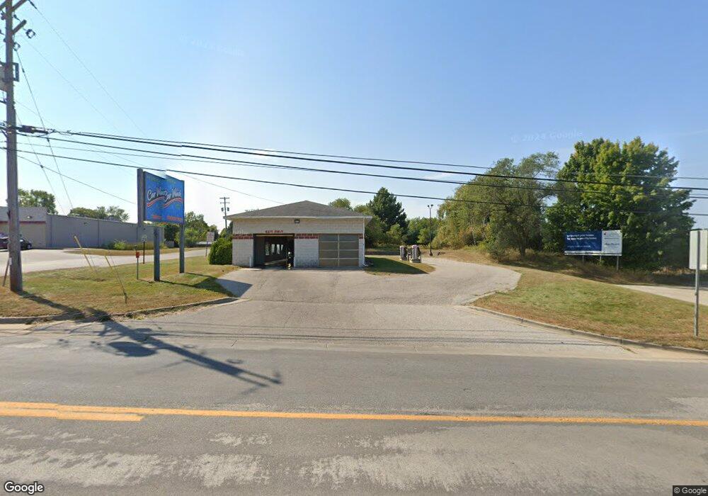
745 S Maple Island Rd Hesperia, MI 49421
Estimated Value: $373,000 - $425,000
--
Bed
--
Bath
--
Sq Ft
0.82
Acres
About This Home
This home is located at 745 S Maple Island Rd, Hesperia, MI 49421 and is currently estimated at $402,818. 745 S Maple Island Rd is a home located in Oceana County with nearby schools including Patricia St. Clair Elementary School, Hesperia Middle School, and Hesperia High School.
Ownership History
Date
Name
Owned For
Owner Type
Purchase Details
Closed on
Aug 22, 2025
Sold by
Lisman Jill D
Bought by
Grimm Evelyn
Current Estimated Value
Purchase Details
Closed on
May 13, 2025
Sold by
Grimm Evelyn
Bought by
Lisman Anthony J and Lisman Jill D
Purchase Details
Closed on
Oct 25, 2021
Sold by
Grimm Dale E and Grimm Evelyn
Bought by
Grimm Dale E and Grimm Evelyn
Purchase Details
Closed on
Jul 21, 1997
Sold by
Yonker and Grimm
Bought by
Yonker and Grimm
Create a Home Valuation Report for This Property
The Home Valuation Report is an in-depth analysis detailing your home's value as well as a comparison with similar homes in the area
Home Values in the Area
Average Home Value in this Area
Purchase History
| Date | Buyer | Sale Price | Title Company |
|---|---|---|---|
| Grimm Evelyn | -- | None Listed On Document | |
| Lisman Jill D | -- | None Listed On Document | |
| Lisman Anthony J | -- | None Listed On Document | |
| Grimm Evelyn | -- | None Listed On Document | |
| Grimm Dale E | -- | None Available | |
| Yonker | -- | -- |
Source: Public Records
Tax History Compared to Growth
Tax History
| Year | Tax Paid | Tax Assessment Tax Assessment Total Assessment is a certain percentage of the fair market value that is determined by local assessors to be the total taxable value of land and additions on the property. | Land | Improvement |
|---|---|---|---|---|
| 2025 | $3,883 | $211,600 | $211,600 | $0 |
| 2024 | $1,396 | $176,700 | $176,700 | $0 |
| 2023 | $3,528 | $160,300 | $160,300 | $0 |
| 2022 | $3,528 | $161,400 | $0 | $0 |
| 2021 | $3,440 | $148,200 | $148,200 | $0 |
| 2020 | $3,507 | $140,300 | $140,300 | $0 |
| 2019 | $3,505 | $137,000 | $0 | $0 |
| 2018 | $3,318 | $131,700 | $0 | $0 |
| 2017 | $3,347 | $131,200 | $0 | $0 |
| 2016 | -- | $107,700 | $0 | $0 |
| 2013 | -- | $105,600 | $0 | $0 |
Source: Public Records
Map
Nearby Homes
- Unit 8 Spring Hill
- o Lake Dr
- 1837 S 200th Ave
- VL State St
- 7657 Darlington Lake Rd
- 4035 N Comstock Ave
- 0 V L 20a S 186th Ave
- VL S 192nd Ave Unit North 20 acres
- VL S 192nd Ave Unit South 20 acres
- VL S 192nd Ave
- 1908 S 186th Ave
- V/L 20A 186th Ave
- 6759 Van Buren St
- 6766 E Gale Rd
- V/L 10.55A E Grant Rd
- 6386 E Peavey St
- 226 N 176th Ave
- 1315 Fitzgerald Ave
- 400 E Michigan Ave
- Unit 4 S Branch Ln
- 767 S Maple Island Rd
- 713 S Maple Island Rd
- 813 S Maple Island Rd
- 781 S Maple Island Rd
- 781 S Maple Island Rd
- 809 S Maple Island Rd
- 829 S Maple Island Rd
- 665 S Maple Island Rd
- 837 S Maple Island Rd
- 845 S Maple Island Rd
- 771 S Maple Island Rd
- 709 S Maple Island Rd
- 901 S Maple Island Rd
- 711 S Maple Island Rd
- 909 S Maple Island Rd
- 9387 E Lure Rd
- 9342 E Carmean
- 9324 E Carmean
- 941 S Maple Island Rd
- 941 S Maple Island Rd