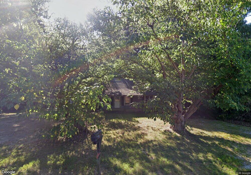
745 Simpson Rd Sparta, TN 38583
Estimated Value: $147,000 - $252,000
Studio
1
Bath
1,040
Sq Ft
$181/Sq Ft
Est. Value
About This Home
This home is located at 745 Simpson Rd, Sparta, TN 38583 and is currently estimated at $187,817, approximately $180 per square foot. 745 Simpson Rd is a home located in White County with nearby schools including Cassville Elementary School, White County Middle School, and White County High School.
Ownership History
Date
Name
Owned For
Owner Type
Purchase Details
Closed on
Jan 10, 2008
Sold by
Lee Davis Thomas
Bought by
Dewayne Davis Thomas
Current Estimated Value
Purchase Details
Closed on
Apr 26, 2004
Sold by
Gordon Simpson Roy
Bought by
Lee Davis Thomas
Purchase Details
Closed on
Apr 9, 2002
Sold by
Simpson Roy G and Simpson Sarah J
Bought by
Allen Billy G
Purchase Details
Closed on
Feb 21, 1995
Sold by
Smith Earl L
Bought by
Allen Billy G
Purchase Details
Closed on
Oct 9, 1986
Bought by
Simpson Roy G
Purchase Details
Closed on
Jan 2, 1900
Create a Home Valuation Report for This Property
The Home Valuation Report is an in-depth analysis detailing your home's value as well as a comparison with similar homes in the area
Purchase History
We collect this data history from publicly available records. To have your information removed, we recommend requesting removal directly through your county’s website.
| Date | Buyer | Sale Price | Title Company |
|---|---|---|---|
| Dewayne Davis Thomas | $39,000 | -- | |
| Lee Davis Thomas | $32,000 | -- | |
| Allen Billy G | $1,200 | -- | |
| Allen Billy G | $500 | -- | |
| Simpson Roy G | -- | -- | |
| -- | -- | -- |
Source: Public Records
Tax History
| Year | Tax Paid | Tax Assessment Tax Assessment Total Assessment is a certain percentage of the fair market value that is determined by local assessors to be the total taxable value of land and additions on the property. | Land | Improvement |
|---|---|---|---|---|
| 2025 | $386 | $27,350 | $17,050 | $10,300 |
| 2024 | $321 | $15,675 | $10,400 | $5,275 |
| 2023 | $321 | $15,675 | $10,400 | $5,275 |
| 2022 | $321 | $15,675 | $10,400 | $5,275 |
| 2021 | $321 | $15,675 | $10,400 | $5,275 |
| 2020 | $321 | $15,675 | $10,400 | $5,275 |
| 2019 | $278 | $13,575 | $9,475 | $4,100 |
| 2018 | $278 | $13,575 | $9,475 | $4,100 |
| 2017 | $428 | $13,575 | $9,475 | $4,100 |
| 2016 | $428 | $20,875 | $14,125 | $6,750 |
| 2015 | $386 | $20,875 | $14,125 | $6,750 |
| 2014 | -- | $20,875 | $14,125 | $6,750 |
| 2013 | -- | $19,425 | $14,125 | $5,300 |
Source: Public Records
Map
Nearby Homes
- 6760 Smithville Hwy
- 6444 Old Smithville Hwy S
- 7240 Old Smithville Hwy S
- 6311 Old Smithville Hwy S
- 398 Harleys Ridge Rd
- 8664 Old Kentucky Rd
- 121 Hutchings College Rd
- 856 Corinth Rd
- 00 Liberty Rd
- 0 Liberty Rd
- 396 Westwood Dr
- lot 16 Old Kentucky Rd
- 214 Boyd Creek Rd
- 0 Jenkins Rd
- 1864 Liberty Rd
- 268 Fairview Cir
- 555 Wesley Chapel Rd
- 2193 Tollisontown Rd
- 459 Frank Anderson Rd
- 885 Frank Anderson Rd
- 744 Simpson Rd
- 785 Simpson Rd Unit 795
- 704 Simpson Rd
- 676 Simpson Rd
- 799 Simpson Rd
- Par10.04 Simpson Rd
- LOT 1 B Simpson Rd
- LOT 1C Simpson Rd
- 2.68 ACR Simpson Rd
- 00 Simpson Rd
- 423 Simpson Rd
- 107 Darkey Springs Rd
- 602 Simpson Rd
- 796 Simpson Rd
- 895 Simpson Rd
- 0 Simpson Rd Unit 126154
- 0 Simpson Rd Unit 213206
- 0 Simpson Rd Unit RTC2415700
- 175 Drake Rd
- 521 Simpson Rd
Your Personal Tour Guide
Ask me questions while you tour the home.