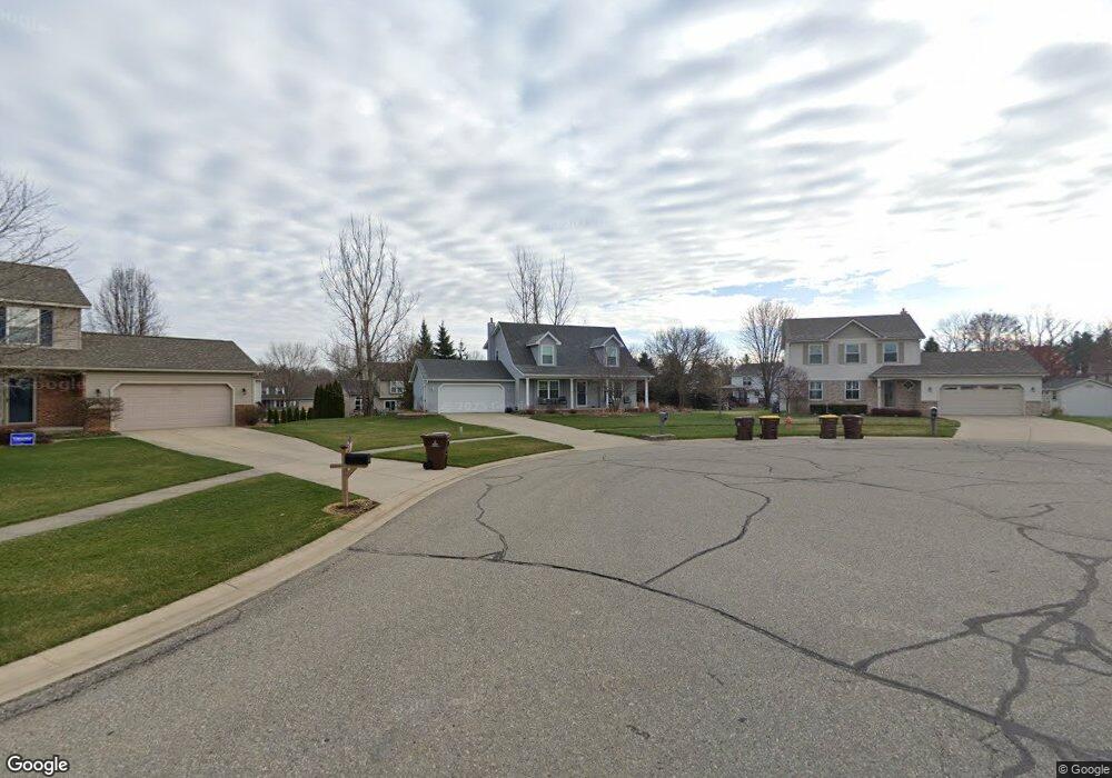
745 Starfield Dr Unit 79 Pinckney, MI 48169
Estimated Value: $370,508 - $419,000
3
Beds
2
Baths
1,750
Sq Ft
$226/Sq Ft
Est. Value
About This Home
This home is located at 745 Starfield Dr Unit 79, Pinckney, MI 48169 and is currently estimated at $395,627, approximately $226 per square foot. 745 Starfield Dr Unit 79 is a home located in Livingston County with nearby schools including Farley Hill Elementary School, Pathfinder School, and Navigator School.
Ownership History
Date
Name
Owned For
Owner Type
Purchase Details
Closed on
Aug 18, 2020
Sold by
Walton Living Trust
Bought by
Walton Mickey E and Walton Susan C
Current Estimated Value
Home Financials for this Owner
Home Financials are based on the most recent Mortgage that was taken out on this home.
Original Mortgage
$171,000
Outstanding Balance
$121,150
Interest Rate
2.9%
Mortgage Type
New Conventional
Estimated Equity
$274,477
Purchase Details
Closed on
May 10, 2019
Sold by
Walton Mickey E and Walton Susan C
Bought by
Walton Lt
Purchase Details
Closed on
Dec 30, 1998
Sold by
Marhofer Campbell Building Co Llc
Bought by
Walton Mickey E and Walton Susan C
Home Financials for this Owner
Home Financials are based on the most recent Mortgage that was taken out on this home.
Original Mortgage
$165,000
Interest Rate
6.79%
Create a Home Valuation Report for This Property
The Home Valuation Report is an in-depth analysis detailing your home's value as well as a comparison with similar homes in the area
Home Values in the Area
Average Home Value in this Area
Purchase History
| Date | Buyer | Sale Price | Title Company |
|---|---|---|---|
| Walton Mickey E | -- | Bell Title | |
| Walton Lt | -- | -- | |
| Walton Mickey E | $191,300 | -- |
Source: Public Records
Mortgage History
| Date | Status | Borrower | Loan Amount |
|---|---|---|---|
| Open | Walton Mickey E | $171,000 | |
| Previous Owner | Walton Mickey E | $165,000 |
Source: Public Records
Tax History Compared to Growth
Tax History
| Year | Tax Paid | Tax Assessment Tax Assessment Total Assessment is a certain percentage of the fair market value that is determined by local assessors to be the total taxable value of land and additions on the property. | Land | Improvement |
|---|---|---|---|---|
| 2025 | $3,881 | $158,727 | $0 | $0 |
| 2024 | $2,185 | $152,308 | $0 | $0 |
| 2023 | $2,082 | $161,265 | $0 | $0 |
| 2022 | $0 | $126,620 | $0 | $0 |
| 2021 | $3,412 | $128,700 | $0 | $0 |
| 2020 | $2,556 | $113,740 | $0 | $0 |
| 2019 | $3,329 | $108,450 | $0 | $0 |
| 2018 | $3,255 | $105,500 | $0 | $0 |
| 2017 | $3,200 | $105,500 | $0 | $0 |
| 2016 | $3,240 | $103,740 | $0 | $0 |
| 2014 | $2,972 | $80,660 | $0 | $0 |
| 2012 | $2,972 | $77,420 | $0 | $0 |
Source: Public Records
Map
Nearby Homes
- 10090 Heatherway Dr Unit 49
- 621 Vincent St
- 260 S Dexter St
- 0 Livingston Unit 20251013277
- 310 E Unadilla St
- Lot 33 Alta Vista Dr
- Lot 37 Alta Vista Dr
- 303 N Howell St
- 729 Cricket Crossing
- 112 Turtle Trace Unit 108
- 377 Pond St
- 11190 Dexter-Pinckney Rd
- 8872 Thornapple Dr
- 271 Rush Lake Rd
- 8630 Joey Dr
- 11651 Earl St
- 11109 Wynns Rd
- 11026 Colony Rd
- 00 Colony
- 11040 Colony Rd
- 10135 Honeycomb Ct Unit 78
- 733 Starfield Dr Unit 80
- 386 Brentwood Dr Unit 44
- 374 Brentwood Dr
- 398 Brentwood Dr Unit 45
- 10147 Honeycomb Ct Unit 77
- 362 Brentwood Dr
- 721 Starfield Dr Unit 81
- 10066 Heatherway Dr Unit Bldg-Unit
- 10066 Heatherway Dr Unit 47
- 10066 Heather Way Dr
- 10078 Heatherway Dr Unit 48
- 410 Brentwood Dr Unit 46
- 10156 Honeycomb Ct Unit 70
- 10159 Honeycomb Ct Unit 76
- 709 Starfield Dr Unit 82
- 350 Brentwood Dr
- 10102 Heatherway Dr Unit 50
- 373 Brentwood Dr
- 714 Starfield Dr Unit 69