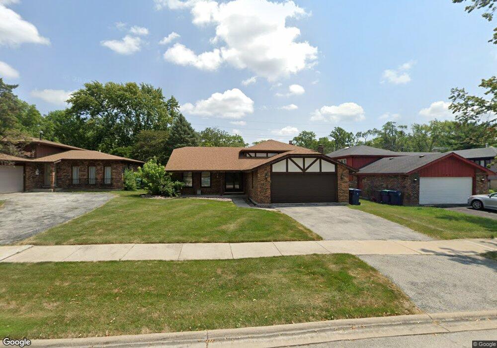
745 Violet Ln Matteson, IL 60443
Old Matteson NeighborhoodEstimated Value: $279,585 - $308,000
3
Beds
3
Baths
1,634
Sq Ft
$179/Sq Ft
Est. Value
About This Home
This home is located at 745 Violet Ln, Matteson, IL 60443 and is currently estimated at $292,646, approximately $179 per square foot. 745 Violet Ln is a home located in Cook County with nearby schools including Illinois School, Arcadia Elementary School, and Indiana Elementary School.
Ownership History
Date
Name
Owned For
Owner Type
Purchase Details
Closed on
Feb 28, 2000
Sold by
Sharp Kimberly M
Bought by
Jeffrey John F
Current Estimated Value
Home Financials for this Owner
Home Financials are based on the most recent Mortgage that was taken out on this home.
Original Mortgage
$89,980
Interest Rate
8.31%
Mortgage Type
FHA
Purchase Details
Closed on
Feb 29, 1996
Sold by
Sharp James R and Sharp Kim M
Bought by
The Kimbery M Sharp Declaration Of Trust
Create a Home Valuation Report for This Property
The Home Valuation Report is an in-depth analysis detailing your home's value as well as a comparison with similar homes in the area
Home Values in the Area
Average Home Value in this Area
Purchase History
| Date | Buyer | Sale Price | Title Company |
|---|---|---|---|
| Jeffrey John F | $149,000 | Professional National Title | |
| The Kimbery M Sharp Declaration Of Trust | -- | -- |
Source: Public Records
Mortgage History
| Date | Status | Borrower | Loan Amount |
|---|---|---|---|
| Previous Owner | Jeffrey John F | $89,980 |
Source: Public Records
Tax History
| Year | Tax Paid | Tax Assessment Tax Assessment Total Assessment is a certain percentage of the fair market value that is determined by local assessors to be the total taxable value of land and additions on the property. | Land | Improvement |
|---|---|---|---|---|
| 2025 | $7,867 | $25,000 | $3,480 | $21,520 |
| 2024 | $7,867 | $25,000 | $3,480 | $21,520 |
| 2023 | $3,736 | $25,000 | $3,480 | $21,520 |
| 2022 | $3,736 | $13,726 | $3,045 | $10,681 |
| 2021 | $3,886 | $13,726 | $3,045 | $10,681 |
| 2020 | $5,411 | $13,726 | $3,045 | $10,681 |
| 2019 | $6,651 | $16,280 | $2,827 | $13,453 |
| 2018 | $6,647 | $16,280 | $2,827 | $13,453 |
| 2017 | $6,411 | $16,280 | $2,827 | $13,453 |
| 2016 | $5,677 | $14,043 | $2,610 | $11,433 |
| 2015 | $5,567 | $14,043 | $2,610 | $11,433 |
| 2014 | $5,418 | $14,043 | $2,610 | $11,433 |
| 2013 | $5,684 | $15,798 | $2,610 | $13,188 |
Source: Public Records
Map
Nearby Homes
- 831 Violet Ln
- 4110 Applewood Ln
- 20920 Governors Hwy
- 30 Strauss Ln
- 4325 Oakwood Ln
- 20601 Parthenon Way
- 722 Kostner Ave
- 4141 204th St
- 20535 Marathon Ct
- 21142 Locust St
- 620 Larkspur Ln
- 20436 Arcadian Dr
- 20415 Doria Ln
- 3919 214th St
- 744 Academy Ave
- 858 Academy Ave
- 21406 S Jean Ave
- 3506 Ithaca Rd
- 4613 Lindenwood Ct
- 20813 Homeland Rd
Your Personal Tour Guide
Ask me questions while you tour the home.