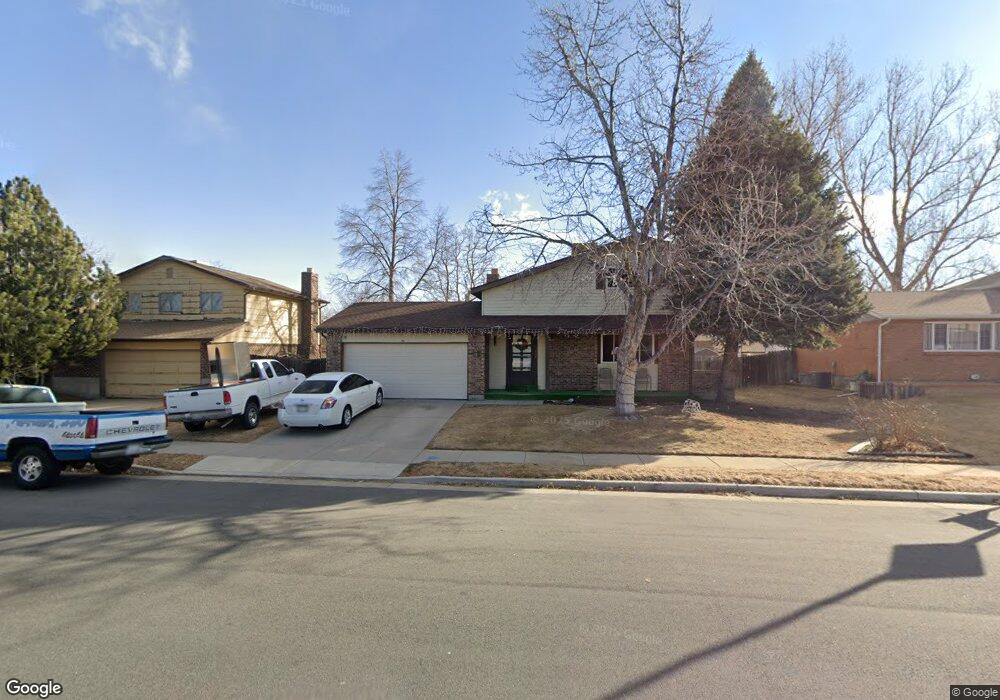
7450 Devinney Ct Arvada, CO 80005
Ralston Valley NeighborhoodEstimated Value: $602,000 - $666,000
4
Beds
5
Baths
1,832
Sq Ft
$348/Sq Ft
Est. Value
About This Home
This home is located at 7450 Devinney Ct, Arvada, CO 80005 and is currently estimated at $638,153, approximately $348 per square foot. 7450 Devinney Ct is a home located in Jefferson County with nearby schools including Van Arsdale Elementary School, Oberon Middle School, and Ralston Valley Senior High School.
Ownership History
Date
Name
Owned For
Owner Type
Purchase Details
Closed on
Aug 26, 2016
Sold by
Lang Catherine A
Bought by
Mitchell Anthony
Current Estimated Value
Home Financials for this Owner
Home Financials are based on the most recent Mortgage that was taken out on this home.
Original Mortgage
$252,340
Outstanding Balance
$202,012
Interest Rate
3.5%
Mortgage Type
FHA
Estimated Equity
$436,141
Create a Home Valuation Report for This Property
The Home Valuation Report is an in-depth analysis detailing your home's value as well as a comparison with similar homes in the area
Home Values in the Area
Average Home Value in this Area
Purchase History
| Date | Buyer | Sale Price | Title Company |
|---|---|---|---|
| Mitchell Anthony | $310,000 | Land Title Guarantee Company |
Source: Public Records
Mortgage History
| Date | Status | Borrower | Loan Amount |
|---|---|---|---|
| Open | Mitchell Anthony | $252,340 |
Source: Public Records
Tax History
| Year | Tax Paid | Tax Assessment Tax Assessment Total Assessment is a certain percentage of the fair market value that is determined by local assessors to be the total taxable value of land and additions on the property. | Land | Improvement |
|---|---|---|---|---|
| 2024 | $3,429 | $35,351 | $15,786 | $19,565 |
| 2023 | $3,429 | $35,351 | $15,786 | $19,565 |
| 2022 | $3,092 | $31,572 | $12,113 | $19,459 |
| 2021 | $3,143 | $32,481 | $12,462 | $20,019 |
| 2020 | $3,017 | $31,268 | $12,755 | $18,513 |
| 2019 | $2,977 | $31,268 | $12,755 | $18,513 |
| 2018 | $2,754 | $28,124 | $7,617 | $20,507 |
| 2017 | $2,521 | $28,124 | $7,617 | $20,507 |
| 2016 | $2,144 | $22,527 | $5,803 | $16,724 |
| 2015 | $2,180 | $24,581 | $5,803 | $18,778 |
| 2014 | $1,982 | $19,574 | $4,872 | $14,702 |
Source: Public Records
Map
Nearby Homes
- 13920 W 74th Place
- 7378 Coors St
- 7391 Coors Dr
- 13946 W 76th Place
- 7250 Devinney Ct Unit E
- 12940 W 75th Ave
- 13844 W 68th Dr
- 7539 Isabell Cir
- 14050 W 68th Ave
- 6762 Beech Dr
- 7258 Kendrick St
- 6888 Howell St
- 6725 Beech Ct
- 6970 Isabell Ct
- 7107 Wright Ct
- 7154 Welch Ct
- 6658 Cole Ct
- 13405 W 82nd Ave
- 15162 W 69th Place
- 15172 W 69th Place
- 7470 Devinney Ct
- 7430 Devinney Ct
- 7421 Deframe St
- 7415 Deframe St
- 7427 Deframe St
- 7410 Devinney Ct
- 7490 Devinney Ct
- 7409 Deframe St
- 13912 W 74th Place
- 13909 W 74th Place
- 7433 Deframe St
- 7400 Devinney Ct
- 7500 Devinney Ct
- 7403 Deframe St
- 13910 W 74th Way
- 7439 Deframe St
- 13911 W 74th Ave
- 13917 W 74th Place
- 7426 Deframe St
- 7390 Devinney Ct
Your Personal Tour Guide
Ask me questions while you tour the home.