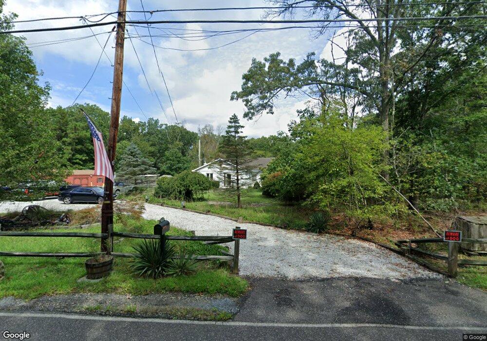
7450 Jackson Rd Mays Landing, NJ 08330
Estimated Value: $308,000 - $354,643
--
Bed
--
Bath
1,272
Sq Ft
$260/Sq Ft
Est. Value
About This Home
This home is located at 7450 Jackson Rd, Mays Landing, NJ 08330 and is currently estimated at $331,322, approximately $260 per square foot. 7450 Jackson Rd is a home located in Atlantic County with nearby schools including Joseph Shaner School, George L. Hess Educational Complex, and William Davies Middle School.
Ownership History
Date
Name
Owned For
Owner Type
Purchase Details
Closed on
Sep 21, 2001
Sold by
Bass Herbert and Bass Carrie L
Bought by
Benhayon Mary Rawle
Current Estimated Value
Home Financials for this Owner
Home Financials are based on the most recent Mortgage that was taken out on this home.
Original Mortgage
$50,000
Outstanding Balance
$19,384
Interest Rate
6.91%
Estimated Equity
$311,938
Create a Home Valuation Report for This Property
The Home Valuation Report is an in-depth analysis detailing your home's value as well as a comparison with similar homes in the area
Home Values in the Area
Average Home Value in this Area
Purchase History
| Date | Buyer | Sale Price | Title Company |
|---|---|---|---|
| Benhayon Mary Rawle | $79,900 | Fidelity National Title Ins |
Source: Public Records
Mortgage History
| Date | Status | Borrower | Loan Amount |
|---|---|---|---|
| Open | Benhayon Mary Rawle | $50,000 |
Source: Public Records
Tax History Compared to Growth
Tax History
| Year | Tax Paid | Tax Assessment Tax Assessment Total Assessment is a certain percentage of the fair market value that is determined by local assessors to be the total taxable value of land and additions on the property. | Land | Improvement |
|---|---|---|---|---|
| 2025 | $5,068 | $147,700 | $63,400 | $84,300 |
| 2024 | $5,068 | $147,700 | $63,400 | $84,300 |
| 2023 | $4,515 | $147,700 | $63,400 | $84,300 |
| 2022 | $4,765 | $147,700 | $63,400 | $84,300 |
| 2021 | $4,504 | $147,700 | $63,400 | $84,300 |
| 2020 | $4,504 | $147,700 | $63,400 | $84,300 |
| 2019 | $4,516 | $147,700 | $63,400 | $84,300 |
| 2018 | $4,349 | $147,700 | $63,400 | $84,300 |
| 2017 | $4,277 | $147,700 | $63,400 | $84,300 |
| 2016 | $4,150 | $147,700 | $63,400 | $84,300 |
| 2015 | $4,001 | $147,700 | $63,400 | $84,300 |
| 2014 | $4,074 | $164,600 | $74,300 | $90,300 |
Source: Public Records
Map
Nearby Homes
- 1601 Mccall Ave
- 7415 3rd Ave
- 7417 3rd Ave
- 7571 Strand Ave
- 7340 Venice Blvd
- 1 Belmont Ave
- 1930 Mccall Ave
- First 1st Ave
- 7390 Black Horse Pike
- 7411 Black Horse Pike
- 2015 High Bank Rd
- 7322 Black Horse Pike
- 0 0 Strand Ave
- 0 St Petersburg Ave Unit NJAC2011842
- 0 St Petersburg Ave Unit NJAC2011840
- 7640 Black Horse Pike
- 0 Division Ave
- 451 9th St
- 7684 E Black Horse Pike
- 0 Walnut Ln