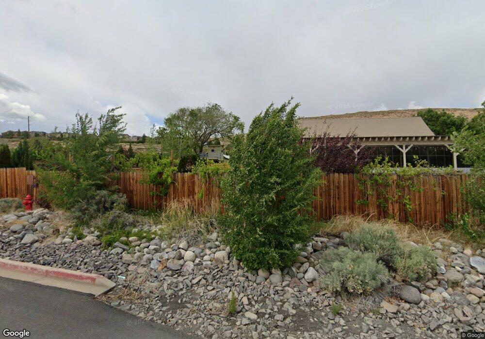
7450 W 4th St Reno, NV 89523
West 4th Street NeighborhoodEstimated Value: $592,422
3
Beds
1
Bath
5,267
Sq Ft
$112/Sq Ft
Est. Value
About This Home
This home is located at 7450 W 4th St, Reno, NV 89523 and is currently estimated at $592,422, approximately $112 per square foot. 7450 W 4th St is a home located in Washoe County with nearby schools including Roy Gomm Elementary School and Reno High School.
Ownership History
Date
Name
Owned For
Owner Type
Purchase Details
Closed on
Jul 27, 2004
Sold by
Harris Michael J and Harris Kristen D
Bought by
Harris Michael J and Harris Kristen D
Current Estimated Value
Purchase Details
Closed on
Mar 29, 1994
Sold by
Cutuli Pauline Menante and Cutuli Santo F
Bought by
Harris Michael J and Harris Kristen D
Home Financials for this Owner
Home Financials are based on the most recent Mortgage that was taken out on this home.
Original Mortgage
$114,000
Interest Rate
8.83%
Mortgage Type
Seller Take Back
Create a Home Valuation Report for This Property
The Home Valuation Report is an in-depth analysis detailing your home's value as well as a comparison with similar homes in the area
Home Values in the Area
Average Home Value in this Area
Purchase History
| Date | Buyer | Sale Price | Title Company |
|---|---|---|---|
| Harris Michael J | -- | -- | |
| Harris Michael J | $144,000 | -- |
Source: Public Records
Mortgage History
| Date | Status | Borrower | Loan Amount |
|---|---|---|---|
| Previous Owner | Harris Michael J | $114,000 |
Source: Public Records
Tax History Compared to Growth
Tax History
| Year | Tax Paid | Tax Assessment Tax Assessment Total Assessment is a certain percentage of the fair market value that is determined by local assessors to be the total taxable value of land and additions on the property. | Land | Improvement |
|---|---|---|---|---|
| 2025 | $4,479 | $197,629 | $134,812 | $62,817 |
| 2024 | $4,479 | $199,597 | $134,812 | $64,785 |
| 2023 | $4,150 | $184,318 | $125,825 | $58,493 |
| 2022 | $3,844 | $156,544 | $107,850 | $48,694 |
| 2021 | $3,561 | $146,446 | $98,862 | $47,584 |
| 2020 | $3,349 | $145,472 | $98,862 | $46,610 |
| 2019 | $3,191 | $144,086 | $98,862 | $45,224 |
| 2018 | $3,037 | $143,210 | $98,862 | $44,348 |
| 2017 | $2,910 | $143,317 | $98,862 | $44,455 |
| 2016 | $2,837 | $125,767 | $80,887 | $44,880 |
| 2015 | $716 | $124,740 | $80,887 | $43,853 |
| 2014 | $2,713 | $123,267 | $80,887 | $42,380 |
| 2013 | -- | $122,486 | $80,887 | $41,599 |
Source: Public Records
Map
Nearby Homes
- 7440 W 4th St Unit 7
- 7440 W 4th St Unit 46
- 7440 W 4th St Unit 35
- 6850 Sharlands Ave Unit V2128
- 6850 Sharlands Ave Unit T 2113
- 6850 Sharlands Ave Unit Q1095
- 6850 Sharlands Ave Unit 1111
- 6850 Sharlands Ave Unit F2030
- 6850 Sharlands Ave Unit a2003
- 5195 Canyon Dr
- 4485 Mountaingate Dr
- 4305 Mountaingate Dr
- 6338 Chesterfield Ln
- 1031 Ambassador Dr
- 4400 Mountaingate Dr
- 4595 Woodchuck Cir
- 6339 Park Place
- 8765 Steelhead Ct
- 6087 White Water Way
- 6357 Moon Ridge Terrace
- 175 Anselmo Dr
- 185 Anselmo Dr
- 780 Bluffs Ct Unit 101
- 780 Bluffs Ct
- 195 Anselmo Dr
- 770 Bluffs Ct
- 205 Anselmo Dr
- 760 Bluffs Ct
- 760 Bluffs Ct Unit 104
- 760 Bluffs Ct Unit 103
- 760 Bluffs Ct Unit 102
- 760 Bluffs Ct Unit 101
- 215 Anselmo Dr
- 750 Bluffs Ct
- 750 Bluffs Ct Unit 104
- 750 Bluffs Ct Unit 103
- 750 Bluffs Ct Unit 102
- 750 Bluffs Ct Unit 101
- 225 Anselmo Dr
- 235 Anselmo Dr
