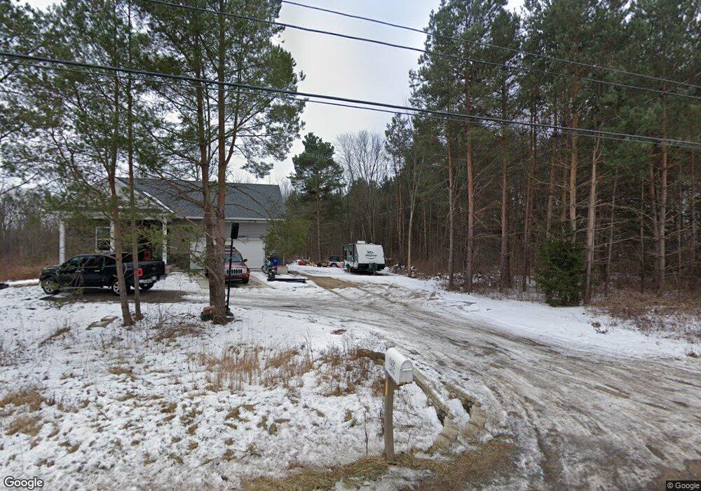
7452 Lapeer Rd Davison, MI 48423
Estimated Value: $254,000 - $438,534
Studio
--
Bath
1,488
Sq Ft
$223/Sq Ft
Est. Value
About This Home
This home is located at 7452 Lapeer Rd, Davison, MI 48423 and is currently estimated at $332,511, approximately $223 per square foot. 7452 Lapeer Rd is a home with nearby schools including Thomson Elementary School, Gates Elementary School, and Hill Elementary School.
Ownership History
Date
Name
Owned For
Owner Type
Purchase Details
Closed on
Nov 16, 2017
Sold by
Scharrer Richard M
Bought by
Rosa Jacob N and Rosa Tonya
Current Estimated Value
Home Financials for this Owner
Home Financials are based on the most recent Mortgage that was taken out on this home.
Original Mortgage
$30,375
Outstanding Balance
$26,107
Interest Rate
4.87%
Mortgage Type
Adjustable Rate Mortgage/ARM
Estimated Equity
$306,404
Purchase Details
Closed on
Nov 20, 2013
Sold by
Genesee County Treasurer
Bought by
Scharrer Richard M
Create a Home Valuation Report for This Property
The Home Valuation Report is an in-depth analysis detailing your home's value as well as a comparison with similar homes in the area
Home Values in the Area
Average Home Value in this Area
Purchase History
| Date | Buyer | Sale Price | Title Company |
|---|---|---|---|
| Rosa Jacob N | $40,500 | None Available | |
| Scharrer Richard M | $1,800 | None Available |
Source: Public Records
Mortgage History
| Date | Status | Borrower | Loan Amount |
|---|---|---|---|
| Open | Rosa Jacob N | $30,375 |
Source: Public Records
Tax History
| Year | Tax Paid | Tax Assessment Tax Assessment Total Assessment is a certain percentage of the fair market value that is determined by local assessors to be the total taxable value of land and additions on the property. | Land | Improvement |
|---|---|---|---|---|
| 2025 | $5,434 | $197,300 | $0 | $0 |
| 2024 | $1,669 | $190,700 | $0 | $0 |
| 2023 | $1,593 | $169,500 | $0 | $0 |
| 2022 | $4,888 | $152,800 | $0 | $0 |
| 2021 | $4,844 | $140,800 | $0 | $0 |
| 2020 | $1,457 | $133,700 | $0 | $0 |
| 2019 | $1,097 | $98,900 | $0 | $0 |
| 2018 | $1,837 | $27,300 | $0 | $0 |
| 2017 | $1,299 | $27,300 | $0 | $0 |
| 2016 | $1,283 | $27,300 | $0 | $0 |
| 2015 | -- | $25,000 | $0 | $0 |
| 2012 | -- | $37,800 | $37,800 | $0 |
Source: Public Records
Map
Nearby Homes
- 7120 Lapeer Rd
- 0 E Court St
- 1234 E Court St
- integrity 1830 Plan at Villages of Wicklow
- Integrity 2000 Plan at Villages of Wicklow
- Integrity 2080 Plan at Villages of Wicklow
- 2223 Antrim Dr
- Lot 80 Antrim Dr
- 2231 Antrim Dr
- 7244 Schoolcraft Dr
- 7079 Houghton Dr
- 0 Schoolcraft Dr
- 6449 Lapeer Rd
- 0 Lapeer Rd Unit G50047586
- 0 N Irish Rd Unit 50197028
- 0 N Irish Rd Unit 20251059753
- 0 N Irish Rd Unit G50059501
- 0 N Irish Rd Unit 50197023
- 1075 Crystal Wood Dr Unit 24
- 7046 Donelson Trail