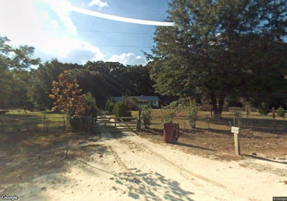
7453 25th Rd White Springs, FL 32096
Estimated Value: $88,000 - $428,000
--
Bed
--
Bath
4,082
Sq Ft
$55/Sq Ft
Est. Value
About This Home
This home is located at 7453 25th Rd, White Springs, FL 32096 and is currently estimated at $226,333, approximately $55 per square foot. 7453 25th Rd is a home with nearby schools including Suwannee Riverside Elementary School, Suwannee Springcrest Elementary School, and Suwannee Pineview Elementary School.
Ownership History
Date
Name
Owned For
Owner Type
Purchase Details
Closed on
Oct 29, 2021
Sold by
Kannady Myra and Kannady Phillip T
Bought by
Kannady Andrea R and Kannady William T
Current Estimated Value
Purchase Details
Closed on
Oct 31, 2019
Sold by
Kannady Phillip
Bought by
Kannady Phillip and Kannady Myra G
Purchase Details
Closed on
Jul 15, 2019
Sold by
Bryant Earine
Bought by
Estate Of Andrew Kannady
Purchase Details
Closed on
Feb 17, 2019
Sold by
Kannady Philip and Kannady Andrew
Bought by
Kannady Philip Terome and Kannady Myra
Create a Home Valuation Report for This Property
The Home Valuation Report is an in-depth analysis detailing your home's value as well as a comparison with similar homes in the area
Home Values in the Area
Average Home Value in this Area
Purchase History
| Date | Buyer | Sale Price | Title Company |
|---|---|---|---|
| Kannady Andrea R | -- | None Available | |
| Kannady Myra | $100 | Kannady Myra | |
| Kannady Phillip | -- | None Available | |
| Estate Of Andrew Kannady | -- | None Available | |
| Kannady Philip Terome | -- | None Available |
Source: Public Records
Tax History Compared to Growth
Tax History
| Year | Tax Paid | Tax Assessment Tax Assessment Total Assessment is a certain percentage of the fair market value that is determined by local assessors to be the total taxable value of land and additions on the property. | Land | Improvement |
|---|---|---|---|---|
| 2024 | $733 | $345,923 | $58,418 | $287,505 |
| 2023 | $733 | $239,775 | $0 | $0 |
| 2022 | $368 | $170,939 | $45,628 | $125,311 |
| 2021 | $368 | $141,291 | $30,668 | $110,623 |
| 2020 | $248 | $129,537 | $0 | $0 |
| 2019 | $230 | $110,797 | $0 | $0 |
| 2018 | $664 | $62,243 | $0 | $0 |
| 2017 | $662 | $60,755 | $0 | $0 |
| 2016 | $665 | $59,523 | $0 | $0 |
| 2015 | $668 | $59,115 | $0 | $0 |
| 2014 | $650 | $58,653 | $0 | $0 |
Source: Public Records
Map
Nearby Homes
- 2006 NW Thunder Rd
- 2943 Cr-136
- 0 NW Null Rd
- 146 Jeep Dr
- 6818 27th Rd
- 2557 Tall Pine Rd
- 2748 84th Terrace
- 1003 NW Tiger Drain Rd
- 11711 72nd St
- 0 SE 100th Way Unit 2064698
- 0 SE 100th Way Unit 110792
- 3766 64th Terrace
- 506 NW Cotton Field Ln
- 10562 Kendrick St
- 10468 Kendrick St
- 12047 3rd St
- TBD K H Memorial Dr
- TBD Cr 137 & I-10
- 154 NW Blue Dr
- 00 US Highway 41
- 425 Suntilt Ct
- 7423 25th Rd
- 243 NW Suntilt Ct
- 0 Suntilt Ct Unit 102687
- 0 Suntilt Ct Unit O6068062
- 0 Suntilt Ct Unit 105494
- 0 Suntilt Ct Unit 95361
- 181 NW Suntilt Ct
- 501 NW Suntilt Ct
- 0 NW Highway 136
- 7636 25th Rd
- 2166 NW Thunder St
- 2094 NW Thunder St
- 608 NW Suntilt Ct
- 0 179th Rd Lots 24-27
- 0, NW Thunder Rd
- 2031 NW Thunder St
- 2006 NW Thunder St
- 2215 NW Thunder St
- 2215 NW Thunder St