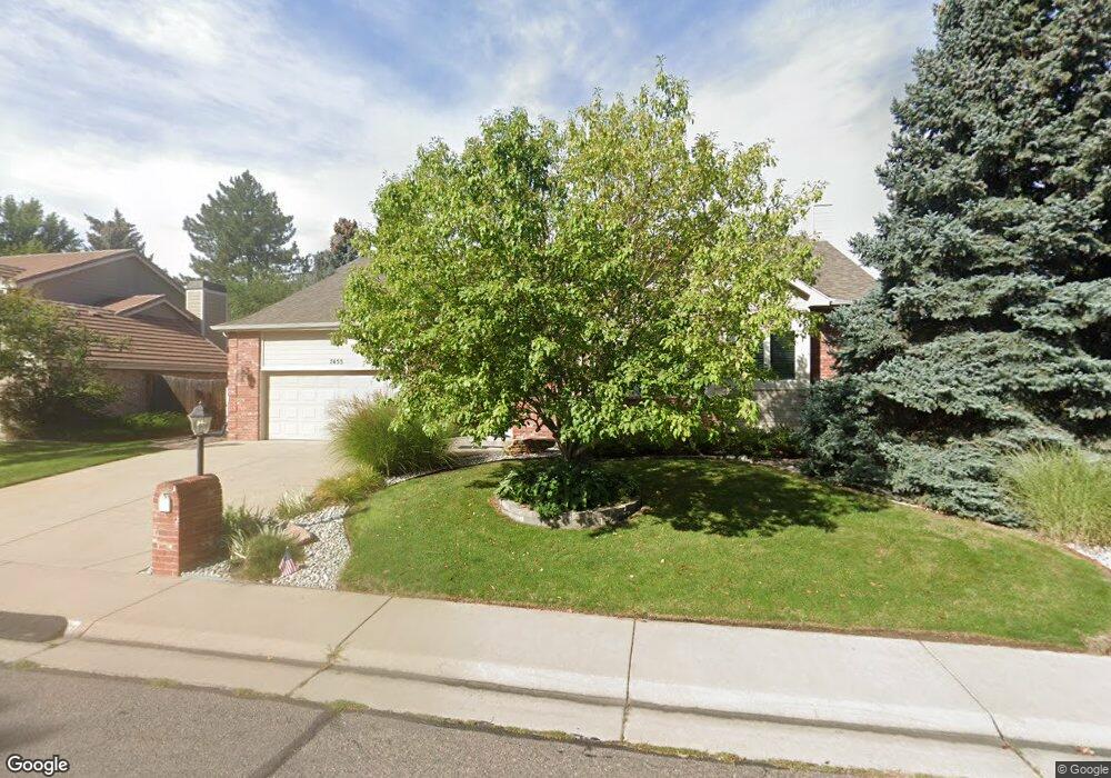
7453 Simms Ct Arvada, CO 80005
Harvest Lane NeighborhoodEstimated Value: $734,000 - $830,000
About This Home
This home is located at 7453 Simms Ct, Arvada, CO 80005 and is currently estimated at $767,542, approximately $197 per square foot. 7453 Simms Ct is a home located in Jefferson County with nearby schools including Fremont Elementary School, Oberon Middle School, and Arvada West High School.
Ownership History
We collect this data history from publicly available records. To have your information removed, we recommend requesting removal directly through your county’s website.
Purchase Details
Purchase Details
Purchase Details
Purchase Details
Home Financials for this Owner
Home Financials are based on the most recent Mortgage that was taken out on this home.Home Values in the Area
Average Home Value in this Area
Purchase History
We collect this data history from publicly available records. To have your information removed, we recommend requesting removal directly through your county’s website.
| Date | Buyer | Sale Price | Title Company |
|---|---|---|---|
| -- | None Listed On Document | ||
| $386,150 | Chicago Title | ||
| $385,000 | Homestead Title & Escrow | ||
| -- | -- |
Mortgage History
We collect this data history from publicly available records. To have your information removed, we recommend requesting removal directly through your county’s website.
| Date | Status | Borrower | Loan Amount |
|---|---|---|---|
| Previous Owner | $134,500 |
Tax History
We collect this data history from publicly available records. To have your information removed, we recommend requesting removal directly through your county’s website.
| Year | Tax Paid | Tax Assessment Tax Assessment Total Assessment is a certain percentage of the fair market value that is determined by local assessors to be the total taxable value of land and additions on the property. | Land | Improvement |
|---|---|---|---|---|
| 2025 | $4,971 | $48,210 | $15,806 | $32,404 |
| 2024 | $4,676 | $48,211 | $15,471 | $32,740 |
| 2023 | $4,676 | $48,211 | $15,471 | $32,740 |
| 2022 | $4,128 | $42,156 | $11,947 | $30,209 |
| 2021 | $4,197 | $43,369 | $12,291 | $31,078 |
| 2020 | $3,897 | $40,388 | $11,504 | $28,884 |
| 2019 | $3,845 | $40,388 | $11,504 | $28,884 |
| 2018 | $3,330 | $34,005 | $8,228 | $25,777 |
| 2017 | $3,048 | $34,005 | $8,228 | $25,777 |
| 2016 | $3,300 | $34,677 | $8,696 | $25,981 |
| 2015 | $2,955 | $34,677 | $8,696 | $25,981 |
| 2014 | $2,955 | $29,184 | $8,010 | $21,174 |
Map
- 7482 Routt Ln
- 7526 Routt Ln
- 7278 Union Ct
- 10855 W 73rd Place
- 7130 Simms St Unit 207
- 7140 Simms St Unit 102
- 7658 Quail St
- 7080 Simms St Unit 207
- 7080 Simms St Unit 204
- 7090 Simms St Unit 201
- 11617 W 71st Dr
- 11067 W 72nd Place
- 11070 W 72nd Place
- 7181 Van Gordon St
- 11290 W 77th Dr
- 11854 W 76th Ln
- 11873 W 71st Ave
- 11921 W 70th Place
- 11535 W 70th Place Unit B
- 6995 Queen Cir
- 7463 Simms Ct
- 7433 Simms Ct
- 11690 W 74th Place
- 7474 Swadley St
- 11638 W 74th Place
- 7473 Simms Ct
- 7432 Simms Ct
- 11667 W 74th Way
- 11687 W 74th Way
- 7484 Swadley St
- 11710 W 74th Place
- 11639 W 74th Place
- 11727 W 74th Way
- 7412 Simms Ct
- 11628 W 74th Place
- 7493 Simms Ct
- 11627 W 74th Way
- 7494 Swadley St
- 11730 W 74th Place
- 11629 W 74th Place
Ask me questions while you tour the home.