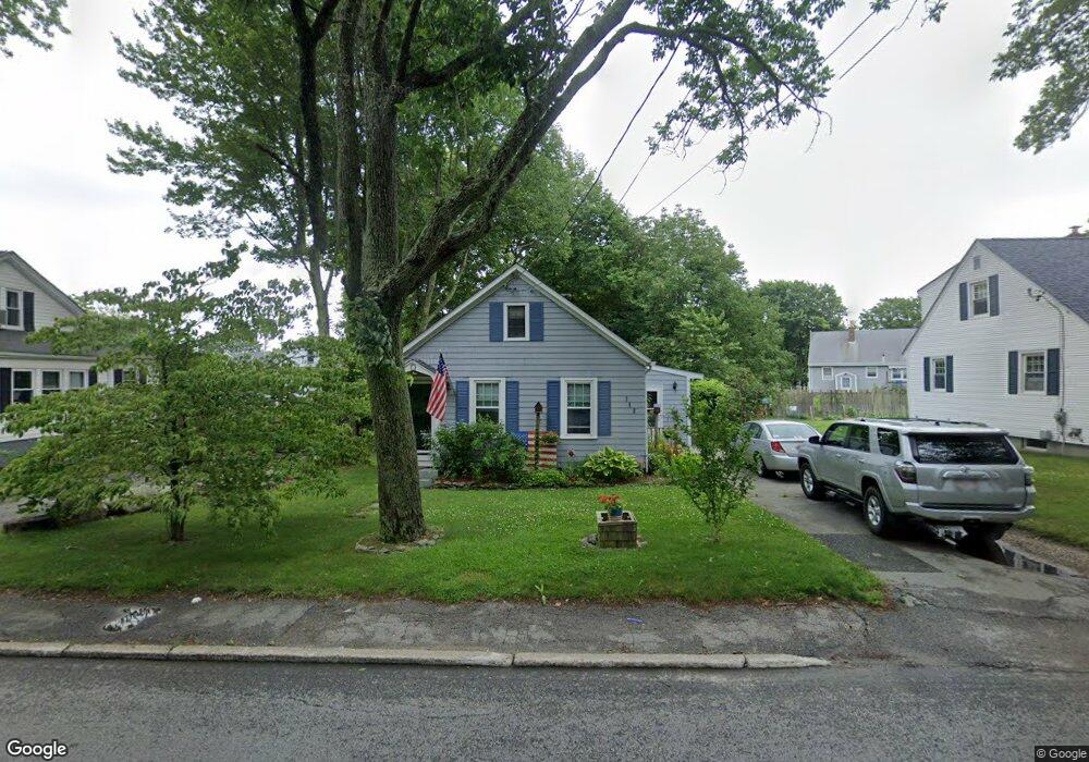
746 Brayton Point Rd Somerset, MA 02725
Brayton Point NeighborhoodEstimated Value: $339,000 - $392,000
2
Beds
1
Bath
848
Sq Ft
$434/Sq Ft
Est. Value
About This Home
This home is located at 746 Brayton Point Rd, Somerset, MA 02725 and is currently estimated at $367,797, approximately $433 per square foot. 746 Brayton Point Rd is a home located in Bristol County with nearby schools including South Elementary School, Somerset Middle School, and St. Michael's School.
Ownership History
Date
Name
Owned For
Owner Type
Purchase Details
Closed on
Jul 30, 2002
Sold by
Stanley Glenn and Stanley Wayne
Bought by
Blanchette Jody and Blanchette Cheryl
Current Estimated Value
Home Financials for this Owner
Home Financials are based on the most recent Mortgage that was taken out on this home.
Original Mortgage
$144,097
Interest Rate
6.73%
Mortgage Type
Purchase Money Mortgage
Purchase Details
Closed on
Jun 23, 1995
Sold by
Lackey Thomas W and Lackey Sheryl A
Bought by
Stanley Glen and Stanley Wayne
Create a Home Valuation Report for This Property
The Home Valuation Report is an in-depth analysis detailing your home's value as well as a comparison with similar homes in the area
Home Values in the Area
Average Home Value in this Area
Purchase History
| Date | Buyer | Sale Price | Title Company |
|---|---|---|---|
| Blanchette Jody | $139,900 | -- | |
| Blanchette Jody | $139,900 | -- | |
| Stanley Glen | $87,000 | -- | |
| Stanley Glen | $87,000 | -- |
Source: Public Records
Mortgage History
| Date | Status | Borrower | Loan Amount |
|---|---|---|---|
| Open | Stanley Glen | $151,000 | |
| Closed | Stanley Glen | $144,097 |
Source: Public Records
Tax History Compared to Growth
Tax History
| Year | Tax Paid | Tax Assessment Tax Assessment Total Assessment is a certain percentage of the fair market value that is determined by local assessors to be the total taxable value of land and additions on the property. | Land | Improvement |
|---|---|---|---|---|
| 2025 | $3,525 | $265,000 | $147,800 | $117,200 |
| 2024 | $3,315 | $259,200 | $147,800 | $111,400 |
| 2023 | $2,847 | $224,500 | $122,900 | $101,600 |
| 2022 | $2,615 | $196,800 | $105,700 | $91,100 |
| 2021 | $2,632 | $179,300 | $95,300 | $84,000 |
| 2020 | $2,616 | $171,900 | $95,600 | $76,300 |
| 2019 | $2,998 | $164,300 | $95,600 | $68,700 |
| 2018 | $2,522 | $148,700 | $88,300 | $60,400 |
| 2017 | $2,464 | $141,600 | $84,100 | $57,500 |
| 2016 | $2,303 | $131,500 | $74,000 | $57,500 |
| 2015 | $2,485 | $143,200 | $89,600 | $53,600 |
| 2014 | $3,533 | $146,300 | $89,600 | $56,700 |
Source: Public Records
Map
Nearby Homes
- 132 Jackson Ave
- 167 Mercier Ave
- 462 Harbor View Blvd
- 105 Cornhill Rd
- 1 Taunton River
- 12 Ripley St
- 21 Bradley Ave
- 95 Caroline Ave
- 337 Lepes Rd
- 675 Lees River Ave
- 24 Knapp St
- 197 Alberta Ave
- 8 Tower Hill Rd
- 159 Wilder St
- 19 Richard Rd
- 30 Front St
- 24 Front St
- 750 Davol St Unit 1012
- 750 Davol St Unit 119
- 750 Davol St Unit 324
- 758 Brayton Point Rd
- 728 Brayton Point Rd
- 169 Briggs Ave
- 24 Williams Ct
- 157 Briggs Ave
- 710 Brayton Point Rd
- 147 Briggs Ave
- 44 Williams Ct
- 160 Briggs Ave
- 780 Brayton Point Rd
- 4 Williams Ct
- 694 Brayton Point Rd
- 136 Briggs Ave
- 158 Rice Ave
- 125 Briggs Ave
- 53 Fortier St
- 35 Fortier St
- 27 Fortier St
- 124 Briggs Ave
- 191 Rice Ave