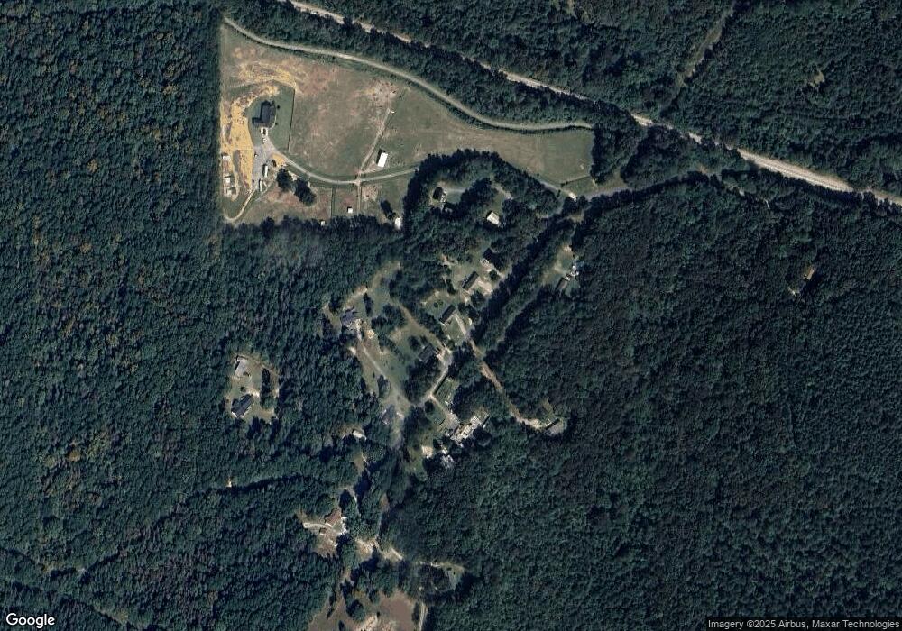
746 Hutto Rd Cedartown, GA 30125
Estimated Value: $216,000 - $251,000
3
Beds
2
Baths
1,299
Sq Ft
$179/Sq Ft
Est. Value
About This Home
This home is located at 746 Hutto Rd, Cedartown, GA 30125 and is currently estimated at $233,069, approximately $179 per square foot. 746 Hutto Rd is a home located in Polk County with nearby schools including Cedar Christian School.
Ownership History
Date
Name
Owned For
Owner Type
Purchase Details
Closed on
Apr 10, 2007
Sold by
Planned Horizon Inc
Bought by
Kimball W Spencer
Current Estimated Value
Home Financials for this Owner
Home Financials are based on the most recent Mortgage that was taken out on this home.
Original Mortgage
$77,600
Outstanding Balance
$46,790
Interest Rate
6.1%
Mortgage Type
New Conventional
Estimated Equity
$186,279
Purchase Details
Closed on
Jan 18, 2002
Sold by
Mauldin Robert T
Bought by
Planned Horizon Inc
Create a Home Valuation Report for This Property
The Home Valuation Report is an in-depth analysis detailing your home's value as well as a comparison with similar homes in the area
Home Values in the Area
Average Home Value in this Area
Purchase History
| Date | Buyer | Sale Price | Title Company |
|---|---|---|---|
| Kimball W Spencer | -- | -- | |
| Planned Horizon Inc | $2,600 | -- |
Source: Public Records
Mortgage History
| Date | Status | Borrower | Loan Amount |
|---|---|---|---|
| Open | Kimball W Spencer | $77,600 |
Source: Public Records
Tax History Compared to Growth
Tax History
| Year | Tax Paid | Tax Assessment Tax Assessment Total Assessment is a certain percentage of the fair market value that is determined by local assessors to be the total taxable value of land and additions on the property. | Land | Improvement |
|---|---|---|---|---|
| 2024 | $1,878 | $89,831 | $3,668 | $86,163 |
| 2023 | $1,402 | $59,066 | $3,668 | $55,398 |
| 2022 | $1,190 | $50,136 | $2,446 | $47,690 |
| 2021 | $1,205 | $50,136 | $2,446 | $47,690 |
| 2020 | $1,208 | $50,136 | $2,446 | $47,690 |
| 2019 | $1,158 | $43,108 | $2,446 | $40,662 |
| 2018 | $1,102 | $40,004 | $2,446 | $37,558 |
| 2017 | $1,089 | $40,004 | $2,446 | $37,558 |
| 2016 | $1,092 | $40,135 | $2,577 | $37,558 |
| 2015 | $1,098 | $40,213 | $2,577 | $37,636 |
| 2014 | $1,106 | $40,213 | $2,577 | $37,636 |
Source: Public Records
Map
Nearby Homes
- 728 Hutto Rd
- 0 Coaling Rd Unit 9221-D 10352096
- 0 Coaling Rd Unit 9221-C 10352086
- 0 Coaling Rd Unit 9221 10352063
- 0 Coaling Rd Unit 9221-B 10352079
- 200 Kelly Rd
- 209 Ridgewood Rd
- 202 Ridgewood Rd
- 10 Woodglen Dr
- 618 Valley Rd
- 645 Valley Rd
- 660 Valley Rd
- 00 Juliette St
- 1101 East Ave
- 205 Pinecrest Rd
- 387 Lindsey Chapel Rd
- 94 Wimberly Hill Loop
- 0 Blanche Rd Unit 10609468
- 0 Blanche Rd Unit 7652978
- 109 Perry St
- 756 Hutto Rd
- 738 Hutto Rd
- 676 Hutto Rd
- 776 Hutto Rd
- 767 Hutto Rd
- 670 Hutto Rd
- 766 Hutto Rd
- 658 Hutto Rd
- 0 Hunt Rd Unit 8362486
- 0 Hunt Rd Unit 1242 7358631
- 0 Hunt Rd
- 0 Hunt Rd Unit 7553478
- 0 Hunt Rd Unit 7430183
- 0 Hunt Rd Unit 8066992
- 840 Hutto Rd
- 10 Hunt Rd
- 398 Grover Rd
- 442 Hutto Rd
- 371 Grover Rd
- 89 Hunt Rd
