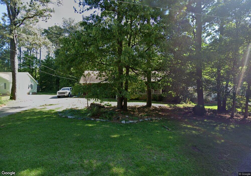
746 Lioness Ct Stone Mountain, GA 30087
Estimated Value: $363,000 - $434,000
3
Beds
2
Baths
2,081
Sq Ft
$195/Sq Ft
Est. Value
About This Home
This home is located at 746 Lioness Ct, Stone Mountain, GA 30087 and is currently estimated at $405,100, approximately $194 per square foot. 746 Lioness Ct is a home located in Gwinnett County with nearby schools including Camp Creek Elementary School, Trickum Middle School, and Parkview High School.
Ownership History
Date
Name
Owned For
Owner Type
Purchase Details
Closed on
Feb 23, 2016
Sold by
Lasseter Peggy D
Bought by
Rowe Margaret D and Rowe Danny R
Current Estimated Value
Purchase Details
Closed on
Dec 7, 2001
Sold by
Westenhaver David B and Westenhaver Marilyn J
Bought by
Lasseter Peggy D
Home Financials for this Owner
Home Financials are based on the most recent Mortgage that was taken out on this home.
Original Mortgage
$150,000
Interest Rate
6.42%
Mortgage Type
New Conventional
Create a Home Valuation Report for This Property
The Home Valuation Report is an in-depth analysis detailing your home's value as well as a comparison with similar homes in the area
Home Values in the Area
Average Home Value in this Area
Purchase History
| Date | Buyer | Sale Price | Title Company |
|---|---|---|---|
| Rowe Margaret D | -- | -- | |
| Lasseter Peggy D | $170,000 | -- |
Source: Public Records
Mortgage History
| Date | Status | Borrower | Loan Amount |
|---|---|---|---|
| Previous Owner | Lasseter Peggy D | $150,000 |
Source: Public Records
Tax History Compared to Growth
Tax History
| Year | Tax Paid | Tax Assessment Tax Assessment Total Assessment is a certain percentage of the fair market value that is determined by local assessors to be the total taxable value of land and additions on the property. | Land | Improvement |
|---|---|---|---|---|
| 2025 | $6,556 | $176,600 | $26,120 | $150,480 |
| 2024 | $6,529 | $173,880 | $26,120 | $147,760 |
| 2023 | $6,529 | $171,360 | $24,000 | $147,360 |
| 2022 | $4,345 | $147,080 | $24,000 | $123,080 |
| 2021 | $3,637 | $109,800 | $17,200 | $92,600 |
| 2020 | $4,329 | $109,800 | $17,200 | $92,600 |
| 2019 | $3,832 | $100,160 | $14,000 | $86,160 |
| 2018 | $3,517 | $89,600 | $14,000 | $75,600 |
| 2016 | $2,455 | $67,694 | $11,900 | $55,794 |
| 2015 | $2,595 | $73,120 | $14,000 | $59,120 |
| 2014 | $2,346 | $61,280 | $14,000 | $47,280 |
Source: Public Records
Map
Nearby Homes
- 851 Rockbridge Rd SW
- 771 Mountainbrooke Cir SW
- 717 Oxford Ct SW
- 746 Oxford Ct SW
- 483 Rollingwood Dr
- 5774 Vantage Ct
- 923 Tall Pine Ct SW
- 5632 Stillwater Ct
- 507 Castlearie Dr
- 507 Castleaire Dr Unit 1
- 881 Rockbridge Rd SW
- 1019 Crestwood Ln
- 358 W Wind Dr SW
- 5521 E Wind Dr SW
- 5798 Musket Ln
- 5633 Breezy Ct SW
- 262 Harmony Grove Rd
- 228 Amour Way SW
- 353 Old Rosser Rd
- 756 Lioness Ct
- 736 Lioness Ct
- 679 Redds Cir SW
- 726 Lioness Ct
- 726 Lioness Ct Unit .EMPTY./17
- 726 Lioness Ct Unit /17
- 766 Lioness Ct
- 747 Lioness Ct
- 685 Redds Cir SW
- 712 Lions Trail
- 727 Lioness Ct
- 716 Lioness Ct
- 776 Lioness Ct
- 717 Lioness Ct
- 717 Lioness Ct
- 733 Lions Trail
- 786 Lioness Ct
- 690 Redds Cir SW
- 5684 Cub Ct
- 787 Lioness Ct