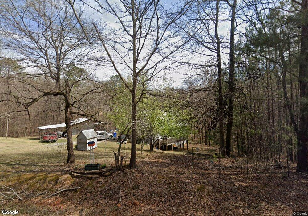
746 Neely Rd Lagrange, GA 30240
Estimated Value: $13,798 - $282,000
Studio
1
Bath
--
Sq Ft
43,560
Sq Ft Lot
About This Home
This home is located at 746 Neely Rd, Lagrange, GA 30240 and is currently estimated at $129,200. 746 Neely Rd is a home located in Troup County with nearby schools including Hillcrest Elementary School, Franklin Forest Elementary School, and Ethel W. Kight Elementary School.
Ownership History
Date
Name
Owned For
Owner Type
Purchase Details
Closed on
Mar 14, 2024
Sold by
Fletcher Freddie S
Bought by
Fletcher Freddie S
Current Estimated Value
Purchase Details
Closed on
Dec 31, 2012
Sold by
Arrington Raymond Mike
Bought by
Fletcher Freddie S
Purchase Details
Closed on
Feb 17, 2012
Sold by
Cook Anna L
Bought by
Arrington Raymond Mike
Purchase Details
Closed on
Dec 19, 1996
Sold by
Delan Bush
Bought by
Kitty B Stribling
Purchase Details
Closed on
Jul 1, 1986
Sold by
Stribling
Bought by
Jenkins Jenkins and Jenkins Pearson
Purchase Details
Closed on
Feb 2, 1982
Sold by
U S Dev Corp
Bought by
Stribling
Purchase Details
Closed on
May 28, 1981
Sold by
Covered Bridge Dev Corp
Bought by
U S Dev Corp
Purchase Details
Closed on
Dec 16, 1979
Bought by
Covered Bridge Dev Corp
Create a Home Valuation Report for This Property
The Home Valuation Report is an in-depth analysis detailing your home's value as well as a comparison with similar homes in the area
Purchase History
| Date | Buyer | Sale Price | Title Company |
|---|---|---|---|
| Fletcher Freddie S | -- | -- | |
| Fletcher Freddie S | $5,900 | -- | |
| Arrington Raymond Mike | -- | -- | |
| Kitty B Stribling | -- | -- | |
| Jenkins Jenkins | -- | -- | |
| Delan Bush | -- | -- | |
| Stribling | -- | -- | |
| U S Dev Corp | -- | -- | |
| Covered Bridge Dev Corp | -- | -- |
Source: Public Records
Tax History
| Year | Tax Paid | Tax Assessment Tax Assessment Total Assessment is a certain percentage of the fair market value that is determined by local assessors to be the total taxable value of land and additions on the property. | Land | Improvement |
|---|---|---|---|---|
| 2025 | $218 | $8,000 | $8,000 | $0 |
| 2024 | $218 | $8,000 | $8,000 | $0 |
| 2023 | $218 | $8,000 | $8,000 | $0 |
| 2022 | $223 | $8,000 | $8,000 | $0 |
| 2021 | $241 | $8,000 | $8,000 | $0 |
| 2020 | $241 | $8,000 | $8,000 | $0 |
| 2019 | $92 | $3,040 | $3,040 | $0 |
| 2018 | $92 | $3,040 | $3,040 | $0 |
| 2017 | $92 | $3,040 | $3,040 | $0 |
| 2016 | $92 | $3,040 | $3,040 | $0 |
| 2015 | $92 | $3,040 | $3,040 | $0 |
| 2014 | $92 | $3,040 | $3,040 | $0 |
| 2013 | -- | $3,040 | $3,040 | $0 |
Source: Public Records
Map
Nearby Homes
- 4004 White Oak Ln
- 110 Thomas Dr
- 104 Dogwood Point
- 153 N Whatley Rd
- 213 Linda Ln
- 1206 the Reserve
- 709 Vernon Ferry Rd
- 163 Terri Rd
- 15 Williams Ct
- 524 Williams Rd
- 511 Williams Rd
- 348 Willow Pointe Dr
- 300 Willow Pointe Dr
- 302 Willow Pointe Dr
- 129 Angela East Dr
- 4.5 ACRES Whatley Rd N
- 0 Deming St Unit 10550189
- 0 Salem Rd Tract 2 Unit 10675187
- 42 Deer Pointe Ct
- 353 Retreat Trail
- 766 Neely Rd
- 756 Neely Rd
- 794 Neely Rd
- 706 Neely Rd
- 36 Christopher Ln
- 697 Neely Rd
- 696 Neely Rd
- 805 Neely Rd
- 46 Christopher Ln
- 46 Christopher Ln
- 56 Christopher Ln
- 33 Christopher Dr
- 2 Christopher Dr
- 0 Christopher Ln Unit 8303655
- 0 Christopher Ln Unit 8285099
- 0 Christopher Ln Unit 7432984
- 0 Christopher Ln Unit 880 000033 8210084
- 0 Christopher Ln Unit 9036117
- 0 Christopher Ln Unit 8998914
- 0 Christopher Ln Unit 8914633
Your Personal Tour Guide
Ask me questions while you tour the home.