746 Parkside Dr Unit II Woodstock, GA 30188
Union Hill NeighborhoodEstimated Value: $572,000 - $577,510
4
Beds
3
Baths
3,065
Sq Ft
$188/Sq Ft
Est. Value
About This Home
This home is located at 746 Parkside Dr Unit II, Woodstock, GA 30188 and is currently estimated at $574,755, approximately $187 per square foot. 746 Parkside Dr Unit II is a home located in Cherokee County with nearby schools including Johnston Elementary School, Mill Creek Middle School, and River Ridge High School.
Ownership History
Date
Name
Owned For
Owner Type
Purchase Details
Closed on
Nov 20, 2000
Sold by
Mccar Development Corp
Bought by
Emery Lewis V and Emery Laura A
Current Estimated Value
Home Financials for this Owner
Home Financials are based on the most recent Mortgage that was taken out on this home.
Original Mortgage
$191,800
Outstanding Balance
$68,897
Interest Rate
7.71%
Mortgage Type
New Conventional
Estimated Equity
$505,858
Create a Home Valuation Report for This Property
The Home Valuation Report is an in-depth analysis detailing your home's value as well as a comparison with similar homes in the area
Home Values in the Area
Average Home Value in this Area
Purchase History
| Date | Buyer | Sale Price | Title Company |
|---|---|---|---|
| Emery Lewis V | $239,800 | -- |
Source: Public Records
Mortgage History
| Date | Status | Borrower | Loan Amount |
|---|---|---|---|
| Open | Emery Lewis V | $191,800 |
Source: Public Records
Tax History Compared to Growth
Tax History
| Year | Tax Paid | Tax Assessment Tax Assessment Total Assessment is a certain percentage of the fair market value that is determined by local assessors to be the total taxable value of land and additions on the property. | Land | Improvement |
|---|---|---|---|---|
| 2025 | $5,108 | $220,436 | $44,800 | $175,636 |
| 2024 | $5,010 | $217,040 | $44,800 | $172,240 |
| 2023 | $4,114 | $195,120 | $41,200 | $153,920 |
| 2022 | $4,171 | $174,840 | $36,000 | $138,840 |
| 2021 | $3,916 | $148,840 | $30,000 | $118,840 |
| 2020 | $3,661 | $137,680 | $28,400 | $109,280 |
| 2019 | $3,502 | $130,840 | $26,800 | $104,040 |
| 2018 | $3,307 | $121,720 | $24,000 | $97,720 |
| 2017 | $3,192 | $289,400 | $24,000 | $91,760 |
| 2016 | $3,118 | $278,300 | $22,800 | $88,520 |
| 2015 | $3,020 | $264,600 | $21,200 | $84,640 |
| 2014 | $2,839 | $246,700 | $19,200 | $79,480 |
Source: Public Records
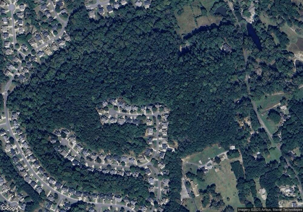
Map
Nearby Homes
- 512 S Holly Springs Rd
- 524 S Holly Springs Rd
- 160 Highlands Dr
- 126 Highlands Dr Unit 1
- 211 Woodview Ln
- 1095 Ashlin Dr
- 106 Thornwood Dr
- 157 Springwater Trace
- 151 Springwater Trace
- 161 Stoney Creek Pkwy
- 614 Springharbor Dr
- 214 Valley Brook Dr
- 711 Evans St
- 707 Evans St
- 2875 Trickum Rd
- 312 Lady Slipper Ln
- 505 Lost Creek Dr
- 748 Parkside Dr
- 744 Parkside Dr Unit 2
- 750 Parkside Dr
- 742 Parkside Dr Unit II
- 731 Parkside Dr Unit II
- 752 Parkside Dr
- 740 Parkside Dr
- 735 Parkside Dr Unit II
- 729 Parkside Dr
- 738 Parkside Dr Unit II
- 754 Parkside Dr Unit II
- 737 Parkside Dr Unit II
- 736 Parkside Dr Unit 11
- 0 Parkside Dr Unit 7276138
- 0 Parkside Dr Unit 7228522
- 0 Parkside Dr Unit 8889140
- 0 Parkside Dr Unit 8353613
- 0 Parkside Dr Unit 8145721
- 727 Parkside Dr
- 739 Parkside Dr