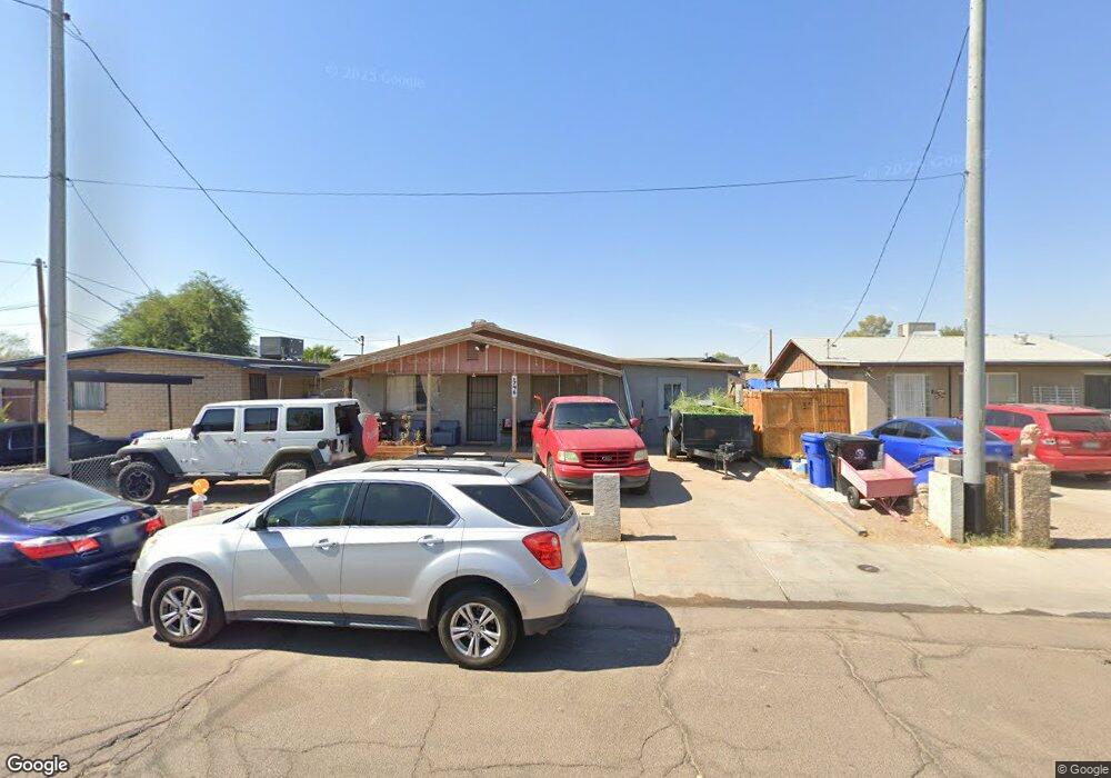
746 S 3rd St Avondale, AZ 85323
Old Town NeighborhoodEstimated Value: $223,000 - $319,000
--
Bed
2
Baths
1,354
Sq Ft
$207/Sq Ft
Est. Value
About This Home
This home is located at 746 S 3rd St, Avondale, AZ 85323 and is currently estimated at $279,834, approximately $206 per square foot. 746 S 3rd St is a home located in Maricopa County with nearby schools including Lattie Coor, Eliseo C. Felix School, and Avondale Middle School.
Ownership History
Date
Name
Owned For
Owner Type
Purchase Details
Closed on
Dec 28, 2017
Sold by
Ramos Alfredo and Ramos Richard
Bought by
Bryant Steven E and Bryant Julia Araceil
Current Estimated Value
Home Financials for this Owner
Home Financials are based on the most recent Mortgage that was taken out on this home.
Original Mortgage
$109,971
Outstanding Balance
$95,448
Interest Rate
5.12%
Mortgage Type
FHA
Estimated Equity
$184,386
Purchase Details
Closed on
Nov 25, 2005
Sold by
Ramos Monica E
Bought by
Ramos Alfredo
Purchase Details
Closed on
Jul 13, 2005
Sold by
Ramos Armida
Bought by
Ramos Richard
Purchase Details
Closed on
Jul 12, 2005
Sold by
Ramos Mariana G
Bought by
Ramas Richard and Ramos Juan
Purchase Details
Closed on
Mar 27, 2004
Sold by
Ramos Mariana G
Bought by
City Of Avondale
Create a Home Valuation Report for This Property
The Home Valuation Report is an in-depth analysis detailing your home's value as well as a comparison with similar homes in the area
Home Values in the Area
Average Home Value in this Area
Purchase History
| Date | Buyer | Sale Price | Title Company |
|---|---|---|---|
| Bryant Steven E | $112,000 | Security Title Agency Inc | |
| Ramos Alfredo | -- | -- | |
| Ramos Juan | -- | -- | |
| Ramos Richard | -- | -- | |
| Ramas Richard | -- | -- | |
| City Of Avondale | -- | -- |
Source: Public Records
Mortgage History
| Date | Status | Borrower | Loan Amount |
|---|---|---|---|
| Open | Bryant Steven E | $109,971 |
Source: Public Records
Tax History
| Year | Tax Paid | Tax Assessment Tax Assessment Total Assessment is a certain percentage of the fair market value that is determined by local assessors to be the total taxable value of land and additions on the property. | Land | Improvement |
|---|---|---|---|---|
| 2025 | $449 | $3,989 | -- | -- |
| 2024 | $413 | $3,799 | -- | -- |
| 2023 | $413 | $20,770 | $4,150 | $16,620 |
| 2022 | $398 | $15,000 | $3,000 | $12,000 |
| 2021 | $420 | $12,180 | $2,430 | $9,750 |
| 2020 | $407 | $10,060 | $2,010 | $8,050 |
| 2019 | $404 | $8,710 | $1,740 | $6,970 |
| 2018 | $406 | $7,710 | $1,540 | $6,170 |
| 2017 | $396 | $7,410 | $1,480 | $5,930 |
| 2016 | $404 | $4,380 | $870 | $3,510 |
Source: Public Records
Map
Nearby Homes
- 516 E Mountain View Dr
- 1108 S 5th St
- 113 E Elm Ln
- 1028 S Holben Place
- 1105 S Frost Ln
- 110 W Main St
- 612 E Dee St
- 400 E Main St Unit 23
- 300 W Lower Buckeye Rd Unit 26
- 127 W Main St Unit 6
- 501 S 9th St
- 535 E Agua Fria Ln
- 26912 E Lower Buckeye Rd
- 244 S 7th St Unit 20
- 830 S Greenleaf Ln
- 823 E Agua Fria Ln
- 237 S 7th St
- 1017 S 5th Ave
- 831 E Agua Fria Ln
- 1010 S 5th St
Your Personal Tour Guide
Ask me questions while you tour the home.