746 Unity Church Cir Maysville, GA 30558
Estimated Value: $373,000 - $491,432
--
Bed
2
Baths
1,474
Sq Ft
$291/Sq Ft
Est. Value
About This Home
This home is located at 746 Unity Church Cir, Maysville, GA 30558 and is currently estimated at $428,358, approximately $290 per square foot. 746 Unity Church Cir is a home located in Jackson County with nearby schools including Maysville Elementary School, East Jackson Middle School, and East Jackson Comprehensive High School.
Ownership History
Date
Name
Owned For
Owner Type
Purchase Details
Closed on
May 6, 2014
Sold by
Borders Jack H
Bought by
Borders Otis S
Current Estimated Value
Purchase Details
Closed on
Jul 11, 2006
Sold by
Not Provided
Bought by
Borders Jack H and Borders Sarah M
Purchase Details
Closed on
May 12, 2005
Sold by
Henry Aaron S
Bought by
Barry Bonnie Q
Purchase Details
Closed on
Jul 16, 2001
Sold by
Rogers Gary
Bought by
Henry Aaron S
Purchase Details
Closed on
Jul 7, 1998
Sold by
Rogers Gary and Rogers Kelly
Bought by
Rogers Gary
Purchase Details
Closed on
Oct 3, 1996
Bought by
Rogers Gary and Rogers Kelly
Create a Home Valuation Report for This Property
The Home Valuation Report is an in-depth analysis detailing your home's value as well as a comparison with similar homes in the area
Home Values in the Area
Average Home Value in this Area
Purchase History
| Date | Buyer | Sale Price | Title Company |
|---|---|---|---|
| Borders Otis S | -- | -- | |
| Borders Jack H | $215,000 | -- | |
| Barry Bonnie Q | $178,000 | -- | |
| Henry Aaron S | $147,000 | -- | |
| Rogers Gary | $1,000 | -- | |
| Rogers Gary | $26,500 | -- |
Source: Public Records
Tax History Compared to Growth
Tax History
| Year | Tax Paid | Tax Assessment Tax Assessment Total Assessment is a certain percentage of the fair market value that is determined by local assessors to be the total taxable value of land and additions on the property. | Land | Improvement |
|---|---|---|---|---|
| 2024 | $1,557 | $153,080 | $65,000 | $88,080 |
| 2023 | $1,557 | $138,040 | $65,000 | $73,040 |
| 2022 | $1,733 | $85,600 | $32,480 | $53,120 |
| 2021 | $1,718 | $85,600 | $32,480 | $53,120 |
| 2020 | $1,609 | $77,120 | $32,480 | $44,640 |
| 2019 | $1,631 | $77,120 | $32,480 | $44,640 |
| 2018 | $1,677 | $84,880 | $34,520 | $50,360 |
| 2017 | $1,686 | $84,831 | $34,545 | $50,286 |
| 2016 | $1,693 | $84,831 | $34,545 | $50,286 |
| 2015 | $1,698 | $84,831 | $34,545 | $50,286 |
| 2014 | $1,722 | $83,369 | $34,545 | $48,824 |
| 2013 | -- | $81,714 | $33,508 | $48,205 |
Source: Public Records
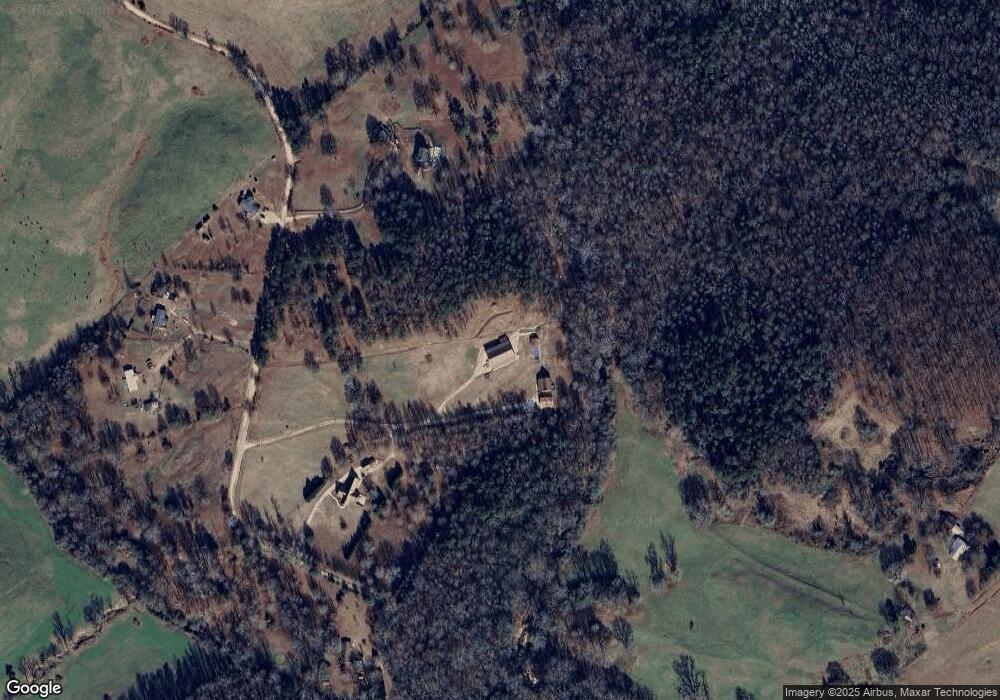
Map
Nearby Homes
- 1530 Unity Church Cir
- 195 Sims Farm Way
- 1546 Bob Mann Rd
- 104 Eagle Heights Dr
- Plan 2421 at Eagle Heights
- Plan 1709 at Eagle Heights
- Plan 1826 at Eagle Heights
- Plan 1902 at Eagle Heights
- Plan 2316 at Eagle Heights
- Plan 2906 at Eagle Heights
- Plan 2100 at Eagle Heights
- Plan 2604 at Eagle Heights
- Plan 2628 at Eagle Heights
- Plan 2307 at Eagle Heights
- Plan 2700 at Eagle Heights
- Plan 2239 at Eagle Heights
- Plan 2505 at Eagle Heights
- Plan 2328 at Eagle Heights
- 11 Owens Rd
- 191 Eagle Heights Dr
- 880 Unity Church Cir
- 638 Unity Church Cir
- 534 Unity Church Cir
- 805 Unity Church Cir
- 801 Unity Church Cir
- 928 Bob Mann Rd
- 433 Unity Church Cir
- 842 Bob Mann Rd
- 332 Unity Church Cir
- 180 Unity Church Cir
- 187 Unity Church Cir
- 115 Unity Church Cir
- 1170 Unity Church Rd
- 1139 Bob Mann Rd
- 70 Unity Church Cir
- 550 Bob Mann Rd
- 1395 Unity Church Cir
- 1210 Bob Mann Rd
- 1443 Unity Church Cir
- 396 Unity Church Rd