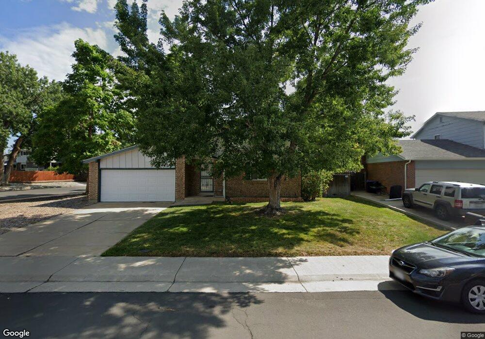
7462 Deframe St Arvada, CO 80005
Ralston Valley NeighborhoodEstimated Value: $650,446 - $695,000
4
Beds
5
Baths
1,832
Sq Ft
$363/Sq Ft
Est. Value
About This Home
This home is located at 7462 Deframe St, Arvada, CO 80005 and is currently estimated at $665,612, approximately $363 per square foot. 7462 Deframe St is a home located in Jefferson County with nearby schools including Van Arsdale Elementary School, Oberon Middle School, and Ralston Valley Senior High School.
Ownership History
Date
Name
Owned For
Owner Type
Purchase Details
Closed on
Jun 30, 1997
Sold by
Cheney Ronald A and Cheney Brooke L
Bought by
Moline Wayne M and Moline Karen A
Current Estimated Value
Home Financials for this Owner
Home Financials are based on the most recent Mortgage that was taken out on this home.
Original Mortgage
$126,300
Outstanding Balance
$18,776
Interest Rate
7.92%
Estimated Equity
$646,836
Create a Home Valuation Report for This Property
The Home Valuation Report is an in-depth analysis detailing your home's value as well as a comparison with similar homes in the area
Home Values in the Area
Average Home Value in this Area
Purchase History
| Date | Buyer | Sale Price | Title Company |
|---|---|---|---|
| Moline Wayne M | $157,900 | Land Title |
Source: Public Records
Mortgage History
| Date | Status | Borrower | Loan Amount |
|---|---|---|---|
| Open | Moline Wayne M | $126,300 |
Source: Public Records
Tax History
| Year | Tax Paid | Tax Assessment Tax Assessment Total Assessment is a certain percentage of the fair market value that is determined by local assessors to be the total taxable value of land and additions on the property. | Land | Improvement |
|---|---|---|---|---|
| 2024 | $3,099 | $38,645 | $17,032 | $21,613 |
| 2023 | $3,099 | $38,645 | $17,032 | $21,613 |
| 2022 | $2,647 | $33,975 | $12,878 | $21,097 |
| 2021 | $2,690 | $34,952 | $13,248 | $21,704 |
| 2020 | $2,469 | $32,731 | $12,403 | $20,328 |
| 2019 | $2,435 | $32,731 | $12,403 | $20,328 |
| 2018 | $2,338 | $31,073 | $8,693 | $22,380 |
| 2017 | $2,140 | $31,073 | $8,693 | $22,380 |
| 2016 | $1,765 | $26,513 | $6,908 | $19,605 |
| 2015 | $1,330 | $26,513 | $6,908 | $19,605 |
| 2014 | $1,330 | $21,094 | $5,731 | $15,363 |
Source: Public Records
Map
Nearby Homes
- 7378 Coors St
- 7391 Coors Dr
- 13970 W 72nd Place Unit C
- 7250 Devinney Ct Unit E
- 13315 W 72nd Cir
- 13952 W 78th Place
- 13844 W 68th Dr
- 7930 Alkire St
- 14667 W 71st Dr
- 7242 Xenophon Ct
- 14050 W 68th Ave
- 7258 Kendrick St
- 7107 Wright Ct
- 12446 W 71st Place
- 15258 W 75th Place
- 7049 Xenon Ct
- 13405 W 82nd Ave
- 7154 Welch Ct
- 6888 Howell St
- 7510 Loveland Cir
- 7456 Deframe St
- 13710 W 74th Dr
- 7560 Deframe St
- 7567 Coors Ct
- 7451 Deframe St
- 7450 Deframe St
- 13670 W 74th Dr
- 7445 Deframe St
- 7377 Coors St
- 7535 Devinney Ct
- 7444 Deframe St
- 7570 Deframe St
- 7387 Coors St
- 7562 Coors Ct
- 7510 Devinney Ct
- 7439 Deframe St
- 7525 Devinney Ct
- 7397 Coors St
- 7572 Coors Ct
- 7587 Coors Ct
Your Personal Tour Guide
Ask me questions while you tour the home.