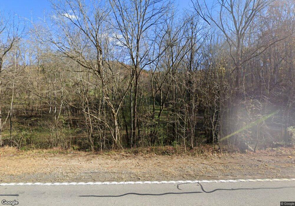
7462 Highway 11 Rising Fawn, GA 30738
Rising Fawn NeighborhoodEstimated Value: $214,000 - $847,150
3
Beds
5
Baths
1,464
Sq Ft
$362/Sq Ft
Est. Value
About This Home
This home is located at 7462 Highway 11, Rising Fawn, GA 30738 and is currently estimated at $530,575, approximately $362 per square foot. 7462 Highway 11 is a home located in Dade County with nearby schools including Dade Middle School and Dade County High School.
Ownership History
Date
Name
Owned For
Owner Type
Purchase Details
Closed on
Mar 16, 2021
Sold by
Moore Sharon
Bought by
Moore Sharon Y and Moore Gary W
Current Estimated Value
Home Financials for this Owner
Home Financials are based on the most recent Mortgage that was taken out on this home.
Original Mortgage
$535,000
Outstanding Balance
$480,399
Interest Rate
2.8%
Mortgage Type
New Conventional
Estimated Equity
$50,176
Purchase Details
Closed on
Feb 8, 1986
Bought by
Moore Sharon
Create a Home Valuation Report for This Property
The Home Valuation Report is an in-depth analysis detailing your home's value as well as a comparison with similar homes in the area
Home Values in the Area
Average Home Value in this Area
Purchase History
| Date | Buyer | Sale Price | Title Company |
|---|---|---|---|
| Moore Sharon Y | $85,000 | -- | |
| Moore Sharon | $12,000 | -- |
Source: Public Records
Mortgage History
| Date | Status | Borrower | Loan Amount |
|---|---|---|---|
| Open | Moore Sharon Y | $535,000 |
Source: Public Records
Tax History Compared to Growth
Tax History
| Year | Tax Paid | Tax Assessment Tax Assessment Total Assessment is a certain percentage of the fair market value that is determined by local assessors to be the total taxable value of land and additions on the property. | Land | Improvement |
|---|---|---|---|---|
| 2024 | $2,053 | $438,028 | $22,480 | $415,548 |
| 2023 | $9,367 | $418,404 | $20,760 | $397,644 |
| 2022 | $3,592 | $343,868 | $16,880 | $326,988 |
| 2021 | $2,849 | $260,200 | $16,880 | $243,320 |
| 2020 | $2,557 | $226,144 | $10,360 | $215,784 |
| 2019 | $2,602 | $235,464 | $10,360 | $225,104 |
| 2018 | $5,638 | $234,984 | $10,360 | $224,624 |
| 2017 | $2,657 | $234,984 | $10,360 | $224,624 |
| 2016 | $2,616 | $231,992 | $10,360 | $221,632 |
| 2015 | $2,889 | $249,392 | $27,760 | $221,632 |
| 2014 | -- | $237,760 | $27,760 | $210,000 |
| 2013 | -- | $223,600 | $27,760 | $195,840 |
Source: Public Records
Map
Nearby Homes
- 697 Byrds Chapel Dr
- 25.09 Acres Byrds Chapel Dr
- 881 Byrds Chapel Dr
- 0 Back Valley Rd Unit 1520558
- 440 Mac Lake Dr
- 4223 Sunset Dr
- 2313 Sunset Dr
- 550 Old Deer Head Cove Rd
- 2352 Byrds Chapel Rd
- 0 Woodmont Place Unit 1504974
- 1145 Daniels Rd
- 00 County Road 792
- 0 Shivas Crest Unit 1514359
- 535 Castle Dr
- 190 Alabama 75
- 693 Alabama 75
- 0 Hwy 75 Unit LotWP011
- 0 Highway 75 Unit LotWP003
- 3607 County Road 792
- 0 Puddin Ridge Rd
- 7464 Highway 11
- 7554 Highway 11
- 7350 Highway 11
- 7401 Highway 11
- 7224 Highway 11
- 7710 Highway 11
- 7405 Highway 11
- 7140 Hwy 11
- 614 Byrds Chapel Ln
- 610 Byrds Chapel Ln
- 0 Cureton Mill Rd
- 561 Byrds Chapel Ln
- 8015 Highway 11
- 552 Byrds Chapel Ln
- 100 Evergreen Dr
- 50 Evergreen Dr
- 59 Evergreen Dr
- 510 Byrds Chapel Ln
- 170 Evergreen Dr
- 7924 Highway 11
