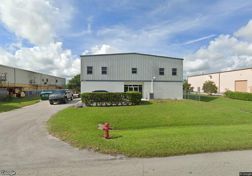
7465 Commercial Cir Fort Pierce, FL 34951
Estimated Value: $573,794
--
Bed
1
Bath
5,364
Sq Ft
$107/Sq Ft
Est. Value
About This Home
This home is located at 7465 Commercial Cir, Fort Pierce, FL 34951 and is currently estimated at $573,794, approximately $106 per square foot. 7465 Commercial Cir is a home located in St. Lucie County with nearby schools including Chester A. Moore Elementary School, Lakewood Park Elementary School, and Lawnwood Elementary School.
Ownership History
Date
Name
Owned For
Owner Type
Purchase Details
Closed on
Mar 13, 2025
Sold by
David Douglas M
Bought by
7465 Commercial Circle Llc
Current Estimated Value
Purchase Details
Closed on
Aug 14, 2015
Sold by
Furfari Joseph
Bought by
David Douglas M
Purchase Details
Closed on
Oct 15, 2007
Sold by
Rosendahl Enterprises Inc
Bought by
Furfari Joseph
Create a Home Valuation Report for This Property
The Home Valuation Report is an in-depth analysis detailing your home's value as well as a comparison with similar homes in the area
Home Values in the Area
Average Home Value in this Area
Purchase History
| Date | Buyer | Sale Price | Title Company |
|---|---|---|---|
| 7465 Commercial Circle Llc | $100 | None Listed On Document | |
| David Douglas M | $270,000 | Attorney | |
| Furfari Joseph | $600,000 | First American Title Ins Co |
Source: Public Records
Tax History Compared to Growth
Tax History
| Year | Tax Paid | Tax Assessment Tax Assessment Total Assessment is a certain percentage of the fair market value that is determined by local assessors to be the total taxable value of land and additions on the property. | Land | Improvement |
|---|---|---|---|---|
| 2025 | $8,896 | $481,863 | $132,561 | $349,302 |
| 2024 | $8,307 | $500,300 | $142,200 | $358,100 |
| 2023 | $8,307 | $474,500 | $142,200 | $332,300 |
| 2022 | $7,300 | $381,100 | $55,600 | $325,500 |
| 2021 | $7,133 | $380,100 | $55,600 | $324,500 |
| 2020 | $6,253 | $299,200 | $55,600 | $243,600 |
| 2019 | $7,317 | $383,100 | $55,600 | $327,500 |
| 2018 | $6,181 | $315,400 | $55,600 | $259,800 |
| 2017 | $5,596 | $262,300 | $55,600 | $206,700 |
| 2016 | $5,161 | $251,800 | $55,600 | $196,200 |
| 2015 | $5,216 | $248,400 | $61,800 | $186,600 |
| 2014 | $5,125 | $248,200 | $0 | $0 |
Source: Public Records
Map
Nearby Homes
- Coral Plan at Pineapple Grove - Value
- Beverly Plan at Pineapple Grove - Value
- Jupiter Plan at Pineapple Grove - Value
- Dania Plan at Pineapple Grove - Value
- Neptune Plan at Pineapple Grove - Value
- Biscayne Plan at Pineapple Grove - Value
- Jensen Plan at Pineapple Grove - Value
- 2098 Johnston Rd
- 2700 N Kings Hwy
- 2956 Spanish Cedar Place
- 2950 Spanish Cedar Place
- 6618 Seabright Terrace
- 2962 Spanish Cedar Place
- 9418 Poinciana Ct
- 9409 Bunting Ln
- 9402 Pinebark Ct
- 9407 Pinebark Ct
- 1787 Bar Harbor Dr
- 0 Keen Rd
- 339 Seascape Dr
- TBD W Angle Rd
- 00 W Angle Rd Unit A
- 7454 Commercial Cir
- Lot 45 Commercial Cir
- 7355 Commercial Cir
- 7361 Commercial Cir
- 7491 Commercial Cir
- 7336 Commercial Cir
- 7506 Commerical Cir
- 7510 Commerical Cir
- 7332 Commercial Cir
- Tbd Commercial Cir
- 7510 Commercial Cir
- 7328 Commercial Cir
- 7370 Commercial Cir
- 7495 Commercial Cir
- 7501 Commercial Cir
- 7360 Commercial Cir
- 7305 Commercial Cir
- 8455 W Angle Rd