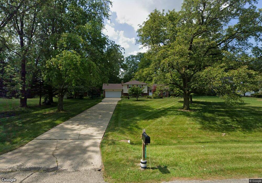
7465 Jean Dr West Chester, OH 45069
West Chester Township NeighborhoodEstimated Value: $313,056 - $354,000
3
Beds
2
Baths
1,290
Sq Ft
$261/Sq Ft
Est. Value
About This Home
This home is located at 7465 Jean Dr, West Chester, OH 45069 and is currently estimated at $337,014, approximately $261 per square foot. 7465 Jean Dr is a home located in Butler County with nearby schools including Hopewell Early Childhood School, Woodland Elementary School, and Hopewell Junior School.
Ownership History
Date
Name
Owned For
Owner Type
Purchase Details
Closed on
Dec 29, 2006
Sold by
Smith Lynda L
Bought by
Smith Charles S and Smith Lynda L
Current Estimated Value
Purchase Details
Closed on
Sep 17, 1998
Sold by
Smith Charles S
Bought by
Smith Lynda L
Home Financials for this Owner
Home Financials are based on the most recent Mortgage that was taken out on this home.
Original Mortgage
$37,500
Outstanding Balance
$8,059
Interest Rate
6.97%
Mortgage Type
Purchase Money Mortgage
Estimated Equity
$328,955
Purchase Details
Closed on
Jun 1, 1985
Create a Home Valuation Report for This Property
The Home Valuation Report is an in-depth analysis detailing your home's value as well as a comparison with similar homes in the area
Home Values in the Area
Average Home Value in this Area
Purchase History
| Date | Buyer | Sale Price | Title Company |
|---|---|---|---|
| Smith Charles S | -- | Attorney | |
| Smith Lynda L | -- | -- | |
| -- | $78,500 | -- |
Source: Public Records
Mortgage History
| Date | Status | Borrower | Loan Amount |
|---|---|---|---|
| Open | Smith Lynda L | $37,500 |
Source: Public Records
Tax History Compared to Growth
Tax History
| Year | Tax Paid | Tax Assessment Tax Assessment Total Assessment is a certain percentage of the fair market value that is determined by local assessors to be the total taxable value of land and additions on the property. | Land | Improvement |
|---|---|---|---|---|
| 2024 | $3,202 | $86,950 | $13,740 | $73,210 |
| 2023 | $3,193 | $89,820 | $13,740 | $76,080 |
| 2022 | $2,973 | $61,540 | $13,740 | $47,800 |
| 2021 | $2,670 | $59,260 | $13,740 | $45,520 |
| 2020 | $2,733 | $59,260 | $13,740 | $45,520 |
| 2019 | $5,276 | $55,060 | $13,990 | $41,070 |
| 2018 | $2,628 | $55,060 | $13,990 | $41,070 |
| 2017 | $2,675 | $55,060 | $13,990 | $41,070 |
| 2016 | $2,517 | $49,770 | $13,990 | $35,780 |
| 2015 | $2,507 | $49,770 | $13,990 | $35,780 |
| 2014 | $2,645 | $49,770 | $13,990 | $35,780 |
| 2013 | $2,645 | $50,720 | $13,210 | $37,510 |
Source: Public Records
Map
Nearby Homes
- 7574 Barret Rd
- 8253 Lake Ridge Dr
- 7594 Barret Rd
- 7541 Granby Way Unit 89
- 7203 Cherrywood Ln
- 7531 Exchequer Ct
- 8309 Cox Rd
- 7506 Parliament Ct Unit 149
- 8199 Vadith Ct
- 6729 Maverick Dr
- 7859 Kingsgate Way
- 8709 Ashbrook Dr
- 8851 Old Farm Dr
- 8749 Monticello Dr
- 8698 Cox Rd
- 7470 Susan Springs Dr
- 8430 Meadowlark Ct
- 8848 Oakcrest Way
- 7194 Laurel Oaks Dr
- 8608 Goldfinch Way