7465 N 700 W Delphi, IN 46923
Estimated Value: $245,000 - $449,000
3
Beds
3
Baths
1,513
Sq Ft
$239/Sq Ft
Est. Value
About This Home
This home is located at 7465 N 700 W, Delphi, IN 46923 and is currently estimated at $361,330, approximately $238 per square foot. 7465 N 700 W is a home located in Carroll County with nearby schools including Twin Lakes Senior High School.
Ownership History
Date
Name
Owned For
Owner Type
Purchase Details
Closed on
Oct 29, 2020
Sold by
Powell Joe A and Powell Carol E
Bought by
Perdue Leslie F
Current Estimated Value
Home Financials for this Owner
Home Financials are based on the most recent Mortgage that was taken out on this home.
Original Mortgage
$245,250
Outstanding Balance
$218,238
Interest Rate
2.8%
Mortgage Type
New Conventional
Estimated Equity
$143,092
Purchase Details
Closed on
Feb 4, 1999
Sold by
Dix Weaver
Bought by
Powell Joe
Create a Home Valuation Report for This Property
The Home Valuation Report is an in-depth analysis detailing your home's value as well as a comparison with similar homes in the area
Home Values in the Area
Average Home Value in this Area
Purchase History
| Date | Buyer | Sale Price | Title Company |
|---|---|---|---|
| Perdue Leslie F | -- | Columbia Title Inc | |
| Powell Joe | $15,000 | -- |
Source: Public Records
Mortgage History
| Date | Status | Borrower | Loan Amount |
|---|---|---|---|
| Open | Perdue Leslie F | $245,250 |
Source: Public Records
Tax History Compared to Growth
Tax History
| Year | Tax Paid | Tax Assessment Tax Assessment Total Assessment is a certain percentage of the fair market value that is determined by local assessors to be the total taxable value of land and additions on the property. | Land | Improvement |
|---|---|---|---|---|
| 2024 | $1,318 | $244,800 | $53,500 | $191,300 |
| 2023 | $1,102 | $227,900 | $50,100 | $177,800 |
| 2022 | $1,102 | $194,100 | $45,600 | $148,500 |
| 2021 | $1,091 | $186,000 | $43,700 | $142,300 |
| 2020 | $998 | $173,100 | $43,600 | $129,500 |
| 2019 | $983 | $173,600 | $46,100 | $127,500 |
| 2018 | $968 | $174,000 | $44,300 | $129,700 |
| 2017 | $926 | $176,300 | $46,400 | $129,900 |
| 2016 | $830 | $165,700 | $47,400 | $118,300 |
| 2014 | $738 | $150,600 | $47,800 | $102,800 |
Source: Public Records
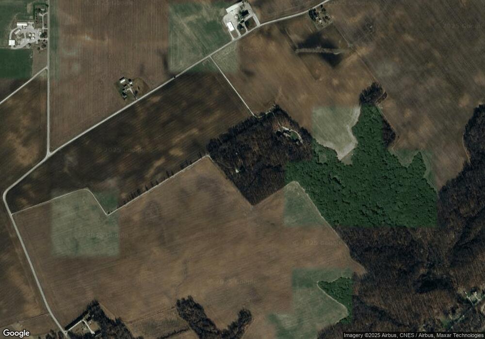
Map
Nearby Homes
- 6374 N 260 W
- 6365 Erie St
- 4139 N 900 W
- 1017 E Columbia St
- 409 N Wilson St
- 11400 W Paradise Rd
- 317 N Market St
- 201 E Franklin St
- 116 Williston Ct
- 215 W Front St
- 11791 W Pirates Roost Rd
- 9331 W 310 N
- 423 W Front St
- 11766 W 1000 N
- 11244 W Horseshoe Bend Rd
- 7801 N Upper Hambridge Dr
- 7044 N 1225 W
- 5639 S Richey Ln
- 2801 N 930 W Unit 10
- Lot 28 Snider Ct Unit 28