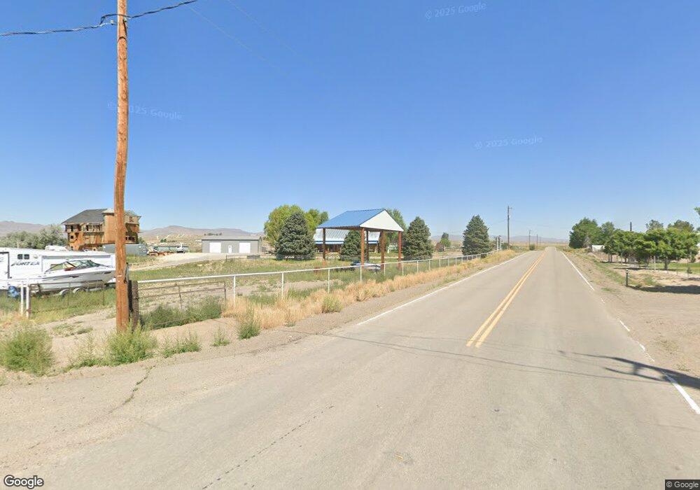
Estimated Value: $307,000 - $381,000
Studio
--
Bath
4,264
Sq Ft
$81/Sq Ft
Est. Value
About This Home
This home is located at 7467 Jacinto Dr, Elko, NV 89801 and is currently estimated at $344,534, approximately $80 per square foot. 7467 Jacinto Dr is a home with nearby schools including Elko Grammar School #2, Northside Elementary School, and Flagview Intermediate School.
Ownership History
Date
Name
Owned For
Owner Type
Purchase Details
Closed on
Mar 30, 2023
Sold by
Loomis Roderick L
Bought by
Brown Karlee A
Current Estimated Value
Home Financials for this Owner
Home Financials are based on the most recent Mortgage that was taken out on this home.
Original Mortgage
$295,075
Outstanding Balance
$285,325
Interest Rate
6.42%
Mortgage Type
FHA
Estimated Equity
$59,209
Create a Home Valuation Report for This Property
The Home Valuation Report is an in-depth analysis detailing your home's value as well as a comparison with similar homes in the area
Purchase History
| Date | Buyer | Sale Price | Title Company |
|---|---|---|---|
| Brown Karlee A | $310,000 | Stewart Title | |
| Loomis Roderick L | -- | Stewart Title |
Source: Public Records
Mortgage History
| Date | Status | Borrower | Loan Amount |
|---|---|---|---|
| Open | Brown Karlee A | $295,075 |
Source: Public Records
Tax History Compared to Growth
Tax History
| Year | Tax Paid | Tax Assessment Tax Assessment Total Assessment is a certain percentage of the fair market value that is determined by local assessors to be the total taxable value of land and additions on the property. | Land | Improvement |
|---|---|---|---|---|
| 2025 | $2,044 | $79,004 | $2,608 | $76,396 |
| 2024 | $2,044 | $80,647 | $2,608 | $78,040 |
| 2023 | $1,809 | $72,811 | $2,608 | $70,203 |
| 2022 | $1,675 | $62,578 | $2,608 | $59,970 |
| 2021 | $1,751 | $61,344 | $2,608 | $58,736 |
| 2020 | $1,732 | $62,254 | $2,608 | $59,646 |
| 2019 | $1,681 | $59,569 | $2,608 | $56,961 |
| 2018 | $1,628 | $57,874 | $1,811 | $56,063 |
| 2017 | $1,463 | $57,115 | $1,811 | $55,304 |
| 2016 | $1,471 | $55,878 | $1,811 | $54,067 |
| 2015 | $1,432 | $55,554 | $1,811 | $53,743 |
| 2014 | $1,417 | $54,072 | $1,811 | $52,261 |
Source: Public Records
Map
Nearby Homes
- 7277 Kayenta Ave
- TBD Indian Hills Dr
- 6361 Johnson Ave
- 6256 Gettysburg Ave
- 6163 Johnson Ave
- 0 Gettysburg Ave Unit 3627115
- 6160 Hayes Ave
- TBD Jacinto Dr
- TBD Johnson Ave
- 0
- 0 N Point Dr Unit 25872044
- 0 N Point Dr Unit 26158468
- 6544 Mesa Verde Dr
- 0 0 8th St Unit 3626575
- 8231 Cayuse Dr
- TBD 10th St
- 0 Roosevelt
- 0 Tbd van Buren Ave
- 6312 6th St
- 8524 Durango Dr
- 6250 Buchanan Ave
- 0 Buchanan Ave Unit 7 240013978
- TBD Buchanan Ave
- 0 Buchanan Ave
- 7342 Jacinto Dr
- 0 Pierce Ave Unit 3624177
- 6175 Coal Mine Canyon Rd
- 7575 Kayenta Dr
- 7531 Indian Hills Dr
- 6239 Lincoln Ave
- 6255 Taylor Ave
- 6183 Taylor Ave
- 6384 Taylor Ave
- 0 012020005 Kayenta Dr
- 7339 Indian Hills Dr
- 6555 Indian Hills Dr
- 0 Indian Hills Dr
- 6257 Taylor Ave
- 7743 Jacinto Dr
- 0 Lincoln Ave
