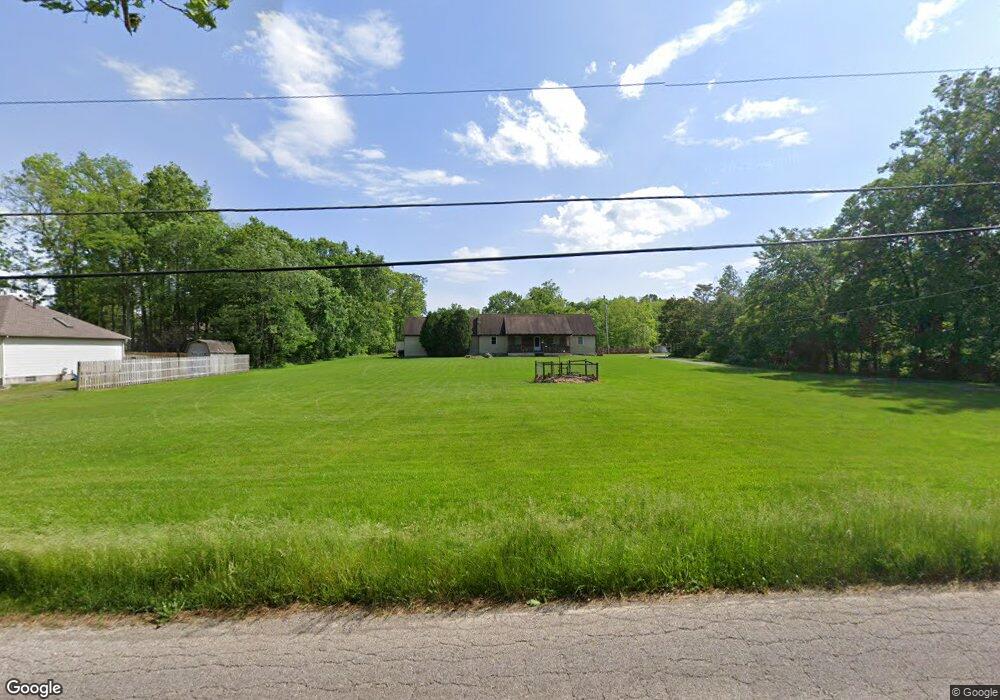
7467 Kirk Rd Canfield, OH 44406
Austintown NeighborhoodEstimated Value: $302,000 - $361,722
About This Home
This home is located at 7467 Kirk Rd, Canfield, OH 44406 and is currently estimated at $327,181, approximately $155 per square foot. 7467 Kirk Rd is a home located in Mahoning County with nearby schools including Austintown Elementary School, Austintown Intermediate School, and Austintown Middle School.
Ownership History
We collect this data history from publicly available records. To have your information removed, we recommend requesting removal directly through your county’s website.
Purchase Details
Purchase Details
Purchase Details
Home Financials for this Owner
Home Financials are based on the most recent Mortgage that was taken out on this home.Purchase Details
Home Values in the Area
Average Home Value in this Area
Purchase History
We collect this data history from publicly available records. To have your information removed, we recommend requesting removal directly through your county’s website.
| Date | Buyer | Sale Price | Title Company |
|---|---|---|---|
| -- | None Available | ||
| $126,000 | None Available | ||
| -- | -- | ||
| -- | -- |
Mortgage History
We collect this data history from publicly available records. To have your information removed, we recommend requesting removal directly through your county’s website.
| Date | Status | Borrower | Loan Amount |
|---|---|---|---|
| Previous Owner | $173,000 |
Tax History
We collect this data history from publicly available records. To have your information removed, we recommend requesting removal directly through your county’s website.
| Year | Tax Paid | Tax Assessment Tax Assessment Total Assessment is a certain percentage of the fair market value that is determined by local assessors to be the total taxable value of land and additions on the property. | Land | Improvement |
|---|---|---|---|---|
| 2025 | $4,163 | $86,720 | $12,600 | $74,120 |
| 2024 | $3,974 | $86,720 | $12,600 | $74,120 |
| 2023 | $3,911 | $86,720 | $12,600 | $74,120 |
| 2022 | $2,800 | $49,720 | $11,530 | $38,190 |
| 2021 | $2,801 | $49,720 | $11,530 | $38,190 |
| 2020 | $2,813 | $49,720 | $11,530 | $38,190 |
| 2019 | $2,968 | $47,800 | $11,080 | $36,720 |
| 2018 | $2,856 | $47,800 | $11,080 | $36,720 |
| 2017 | $2,776 | $47,800 | $11,080 | $36,720 |
| 2016 | $2,700 | $44,760 | $8,310 | $36,450 |
| 2015 | $2,618 | $44,760 | $8,310 | $36,450 |
| 2014 | $2,630 | $44,760 | $8,310 | $36,450 |
| 2013 | $2,602 | $44,760 | $8,310 | $36,450 |
Map
- 2900 Whispering Pines Dr
- 6884 Slippery Rock Dr
- 3608 Meander Reserve Cir
- 3300 Meanderwood Dr
- 4495 Bella Jean
- 6905 Winterpark Ave
- 2189 Woodgate St
- 6416 Ridgeview Ave
- 6369 Ridgeview Ave
- 1515 S Turner Rd
- 5860 Kirk Rd
- 5817 Herons Blvd Unit A
- 9112 New Rd
- 280 Timber Run Dr
- 6270 Fairview Rd
- 5547 Cider Mill Crossing
- 8640 N Palmyra Rd
- 2690 S Canfield Niles Rd
- 21 Timber Run Ct
- 98 Jade Cir
- 3425 Meanderwood Dr
- 3421 Meanderwood Dr
- 7033 Kirk Rd
- 3429 Meanderwood Dr
- 7025 Kirk Rd
- 7477 Kirk Rd
- 7065 Berry Blossom Dr
- 7057 Berry Blossom Dr
- 3433 Meanderwood Dr
- 3420 Meanderwood Dr
- 7051 Berry Blossom Dr
- 7001 Kirk Rd
- 3428 Meanderwood Dr
- 7080 Kirk Rd
- 3434 Meanderwood Dr
- 3437 Meanderwood Dr
- 7050 Kirk Rd
- 7070 Berry Blossom Dr
- 7487 Kirk Rd
- 7045 Berry Blossom Dr
Ask me questions while you tour the home.