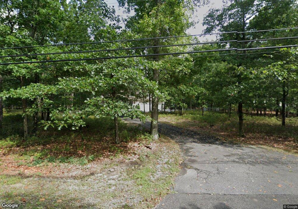
7467 Strand Ave Mays Landing, NJ 08330
Estimated Value: $360,000 - $589,000
3
Beds
4
Baths
2,546
Sq Ft
$201/Sq Ft
Est. Value
About This Home
This home is located at 7467 Strand Ave, Mays Landing, NJ 08330 and is currently estimated at $511,030, approximately $200 per square foot. 7467 Strand Ave is a home located in Atlantic County with nearby schools including Joseph Shaner School, George L. Hess Educational Complex, and William Davies Middle School.
Ownership History
Date
Name
Owned For
Owner Type
Purchase Details
Closed on
Jun 11, 2012
Sold by
Branca Shannon and Cleary Shannon D
Bought by
Branca Shannon and Branca Anthony
Current Estimated Value
Home Financials for this Owner
Home Financials are based on the most recent Mortgage that was taken out on this home.
Original Mortgage
$163,500
Outstanding Balance
$23,183
Interest Rate
3.08%
Mortgage Type
New Conventional
Estimated Equity
$487,847
Purchase Details
Closed on
Sep 13, 2003
Sold by
Cleary Shannon D and Brady Keith
Bought by
Cleary Shannon D
Home Financials for this Owner
Home Financials are based on the most recent Mortgage that was taken out on this home.
Original Mortgage
$116,650
Interest Rate
5.27%
Mortgage Type
New Conventional
Purchase Details
Closed on
Apr 5, 2002
Sold by
Bonner Willie R and Bonner Bette G
Bought by
Hesser Theodore F and Hesser Sandra S
Purchase Details
Closed on
Jul 31, 2001
Sold by
Cleary Shannon D
Bought by
Cleary Shannon D and Brady Keith
Home Financials for this Owner
Home Financials are based on the most recent Mortgage that was taken out on this home.
Original Mortgage
$114,600
Interest Rate
7.16%
Purchase Details
Closed on
May 26, 2000
Sold by
Delilah Oaks Construction Co Inc
Bought by
Cleary Shannon D
Home Financials for this Owner
Home Financials are based on the most recent Mortgage that was taken out on this home.
Original Mortgage
$112,800
Interest Rate
8.12%
Mortgage Type
Purchase Money Mortgage
Purchase Details
Closed on
Dec 1, 1999
Sold by
Newman Charlene
Bought by
Delilah Oaks Construction Co Inc
Home Financials for this Owner
Home Financials are based on the most recent Mortgage that was taken out on this home.
Original Mortgage
$850,000
Interest Rate
7.81%
Mortgage Type
Credit Line Revolving
Purchase Details
Closed on
May 26, 1999
Sold by
Butler Spurgeon
Bought by
Newman Charlene
Purchase Details
Closed on
Nov 6, 1995
Sold by
Township Of Hamilton
Bought by
Butler Spurgeon and Newman Charlene
Create a Home Valuation Report for This Property
The Home Valuation Report is an in-depth analysis detailing your home's value as well as a comparison with similar homes in the area
Home Values in the Area
Average Home Value in this Area
Purchase History
| Date | Buyer | Sale Price | Title Company |
|---|---|---|---|
| Branca Shannon | -- | None Available | |
| Cleary Shannon D | -- | Nationwide Title | |
| Hesser Theodore F | $119,900 | -- | |
| Cleary Shannon D | -- | Lawyers Title Insurance Corp | |
| Cleary Shannon D | $125,000 | Liberty Title Agency | |
| Delilah Oaks Construction Co Inc | $28,000 | Liberty Title Agency | |
| Newman Charlene | -- | -- | |
| Butler Spurgeon | $6,000 | -- |
Source: Public Records
Mortgage History
| Date | Status | Borrower | Loan Amount |
|---|---|---|---|
| Open | Branca Shannon | $163,500 | |
| Previous Owner | Cleary Shannon D | $116,650 | |
| Previous Owner | Cleary Shannon D | $114,600 | |
| Previous Owner | Cleary Shannon D | $112,800 | |
| Previous Owner | Delilah Oaks Construction Co Inc | $850,000 |
Source: Public Records
Tax History Compared to Growth
Tax History
| Year | Tax Paid | Tax Assessment Tax Assessment Total Assessment is a certain percentage of the fair market value that is determined by local assessors to be the total taxable value of land and additions on the property. | Land | Improvement |
|---|---|---|---|---|
| 2025 | $10,989 | $320,300 | $55,300 | $265,000 |
| 2024 | $10,989 | $320,300 | $55,300 | $265,000 |
| 2023 | $10,333 | $320,300 | $55,300 | $265,000 |
| 2022 | $10,333 | $320,300 | $55,300 | $265,000 |
| 2021 | $10,310 | $320,300 | $55,300 | $265,000 |
| 2020 | $10,310 | $320,300 | $55,300 | $265,000 |
| 2019 | $10,336 | $320,300 | $55,300 | $265,000 |
| 2018 | $9,974 | $320,300 | $55,300 | $265,000 |
| 2017 | $9,817 | $320,300 | $55,300 | $265,000 |
| 2016 | $6,086 | $204,300 | $55,300 | $149,000 |
| 2015 | $5,880 | $204,300 | $55,300 | $149,000 |
| 2014 | $5,740 | $218,500 | $64,200 | $154,300 |
Source: Public Records
Map
Nearby Homes
- 7571 Strand Ave
- 7340 Venice Blvd
- 1601 Mccall Ave
- 7417 3rd Ave
- 7415 3rd Ave
- 1 Belmont Ave
- 0 St Petersburg Ave Unit NJAC2011842
- 0 St Petersburg Ave Unit NJAC2011840
- 0 Walnut Ln
- 0 0 Strand Ave
- First 1st Ave
- 1930 Mccall Ave
- 653 Weymouth Rd
- 0 Division Ave
- 451 9th St
- 432 Pancoast Mill Rd
- 7390 Black Horse Pike
- 7411 Black Horse Pike
- 0 San Francisco Ave
- 2015 High Bank Rd