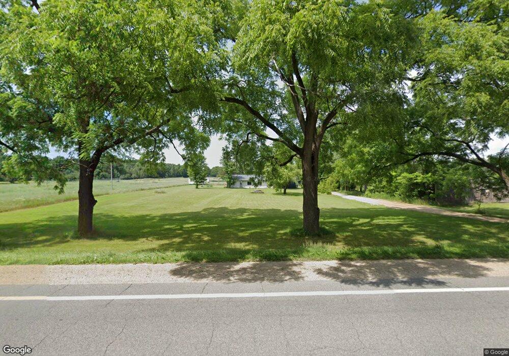
7468 E M 20 Hesperia, MI 49421
Estimated Value: $124,193 - $239,000
Studio
--
Bath
--
Sq Ft
44,170
Sq Ft Lot
About This Home
This home is located at 7468 E M 20, Hesperia, MI 49421 and is currently estimated at $178,398. 7468 E M 20 is a home located in Oceana County with nearby schools including Patricia St. Clair Elementary School, Hesperia Middle School, and Hesperia High School.
Ownership History
Date
Name
Owned For
Owner Type
Purchase Details
Closed on
Jun 19, 2021
Sold by
Dodge Paul Daniel
Bought by
Ellis Bruce and Ellis Roberta
Current Estimated Value
Home Financials for this Owner
Home Financials are based on the most recent Mortgage that was taken out on this home.
Original Mortgage
$44,000
Outstanding Balance
$33,407
Interest Rate
2.9%
Mortgage Type
New Conventional
Estimated Equity
$144,991
Purchase Details
Closed on
Aug 14, 2017
Sold by
Smith Dale R
Bought by
Dodge Paul Daniel
Home Financials for this Owner
Home Financials are based on the most recent Mortgage that was taken out on this home.
Original Mortgage
$43,500
Interest Rate
4.03%
Mortgage Type
Seller Take Back
Purchase Details
Closed on
Jan 24, 2015
Sold by
Smith Dale R
Bought by
Linville Johnny
Home Financials for this Owner
Home Financials are based on the most recent Mortgage that was taken out on this home.
Original Mortgage
$45,000
Interest Rate
6%
Mortgage Type
Seller Take Back
Create a Home Valuation Report for This Property
The Home Valuation Report is an in-depth analysis detailing your home's value as well as a comparison with similar homes in the area
Purchase History
| Date | Buyer | Sale Price | Title Company |
|---|---|---|---|
| Ellis Bruce | $55,000 | Lighthouse Title Agency | |
| Dodge Paul Daniel | $53,500 | Lighthouse Title Agency | |
| Dodge Paul Daniel | $53,500 | None Available | |
| Linville Johnny | $50,000 | None Available |
Source: Public Records
Mortgage History
| Date | Status | Borrower | Loan Amount |
|---|---|---|---|
| Open | Ellis Bruce | $44,000 | |
| Previous Owner | Dodge Paul Daniel | $43,500 | |
| Previous Owner | Linville Johnny | $45,000 |
Source: Public Records
Tax History
| Year | Tax Paid | Tax Assessment Tax Assessment Total Assessment is a certain percentage of the fair market value that is determined by local assessors to be the total taxable value of land and additions on the property. | Land | Improvement |
|---|---|---|---|---|
| 2025 | $1,299 | $59,600 | $59,600 | $0 |
| 2024 | $458 | $48,300 | $48,300 | $0 |
| 2023 | $1,802 | $46,500 | $46,500 | $0 |
| 2022 | $1,802 | $35,800 | $0 | $0 |
| 2021 | $1,295 | $30,500 | $30,500 | $0 |
| 2020 | $1,305 | $28,900 | $28,900 | $0 |
| 2019 | $1,296 | $28,500 | $0 | $0 |
| 2018 | $743 | $24,200 | $0 | $0 |
| 2017 | $743 | $24,200 | $0 | $0 |
| 2016 | -- | $18,900 | $0 | $0 |
Source: Public Records
Map
Nearby Homes
- 8356 E Loop Rd
- 8570 E Hawley Rd
- 8683 E Hawley Rd
- 6095 E M 20
- 8,9,10,&11 S Riverview Dr
- Lots 10&11 S Riverview Dr
- Lots 8 & 9 S Riverview Dr
- 18.9 Acres S 176th Ave
- 8933 E M 20
- 7764 E Saint Huberts Trail
- 7774 E Saint Huberts Trail
- 3733 S Brenlor Dr
- 3944 S Brenlor Dr
- VL S 204th Ave
- 3521 S 204th Ave
- 350 Mary Ct
- 8081 E Arthur Rd
- 0 Lizzie St
- 7 S Elm St
- 165 S Elm St
Your Personal Tour Guide
Ask me questions while you tour the home.