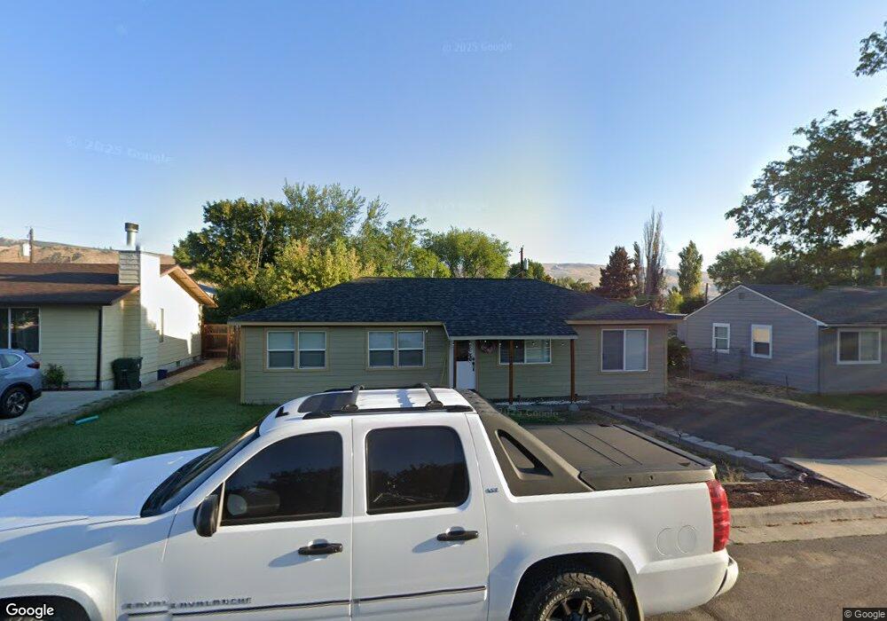
747 Chenowith Loop Rd the Dalles, OR 97058
Estimated Value: $300,000 - $329,000
3
Beds
1
Bath
864
Sq Ft
$371/Sq Ft
Est. Value
About This Home
This home is located at 747 Chenowith Loop Rd, the Dalles, OR 97058 and is currently estimated at $320,854, approximately $371 per square foot. 747 Chenowith Loop Rd is a home located in Wasco County with nearby schools including Chenowith Elementary School, The Dalles Middle School, and The Dalles High School.
Ownership History
Date
Name
Owned For
Owner Type
Purchase Details
Closed on
Oct 7, 2014
Sold by
Citibank Na
Bought by
Sandoval Villa Robles and Sandoval Cruz Adriana
Current Estimated Value
Home Financials for this Owner
Home Financials are based on the most recent Mortgage that was taken out on this home.
Original Mortgage
$109,250
Outstanding Balance
$83,272
Interest Rate
4.1%
Mortgage Type
New Conventional
Estimated Equity
$237,582
Purchase Details
Closed on
Aug 5, 2014
Sold by
Mall David J and Occupants Of The Property
Bought by
Citibank Na
Create a Home Valuation Report for This Property
The Home Valuation Report is an in-depth analysis detailing your home's value as well as a comparison with similar homes in the area
Purchase History
| Date | Buyer | Sale Price | Title Company |
|---|---|---|---|
| Sandoval Villa Robles | $115,000 | Multiple | |
| Citibank Na | $115,000 | Wasco Title Inc |
Source: Public Records
Mortgage History
| Date | Status | Borrower | Loan Amount |
|---|---|---|---|
| Open | Sandoval Villa Robles | $109,250 |
Source: Public Records
Tax History
| Year | Tax Paid | Tax Assessment Tax Assessment Total Assessment is a certain percentage of the fair market value that is determined by local assessors to be the total taxable value of land and additions on the property. | Land | Improvement |
|---|---|---|---|---|
| 2025 | $2,355 | $131,103 | -- | -- |
| 2024 | $2,291 | $127,285 | -- | -- |
| 2023 | $2,224 | $123,578 | $0 | $0 |
| 2022 | $2,175 | $142,285 | $0 | $0 |
| 2021 | $2,108 | $138,141 | $0 | $0 |
| 2020 | $2,056 | $134,117 | $0 | $0 |
| 2019 | $1,855 | $130,211 | $0 | $0 |
| 2018 | $1,683 | $106,599 | $0 | $0 |
| 2017 | $2,220 | $103,494 | $0 | $0 |
| 2016 | $1,829 | $100,480 | $0 | $0 |
Source: Public Records
Map
Nearby Homes
- 0 Irvine St W Unit 24495242
- 0 W 2nd St
- 3244 W 7th St
- 3208 W 7th St
- 3817 W 10th St
- 950 Pomona St Unit 126
- 950 Pomona St Unit 183
- 950 Pomona St Unit 127
- 950 Pomona St Unit 184
- 950 Pomona St Unit 171
- 1106 Emerson Dr
- 2957 W 10th St
- 2829 W 9th St
- 918 Snipes St
- 0 River Rd Unit 351751887
- 1008 Snipes St
- 936 Honey Do St
- 2534 W 10th St
- 917 Myrtle St
- 4233 Chenoweth Rd
- 747 Chenoweth Loop W
- 753 Chenoweth Loop W
- 741 Chenowith Loop Rd
- 741 Chenoweth Loop W
- 757 Chenoweth Loop W
- 746 Lee St
- 752 Lee St
- 3711 W 7th St
- 740 Lee St
- 735 Chenoweth Loop W
- 756 Lee St
- 734 Lee St
- 731 Chenowith Loop Rd
- 731 Chenoweth Loop W
- 730 Lee St
- 803 Chenoweth Loop W
- 3708 W 7th St
- 725 Chenowith Loop Rd
- 3714 W 7th St
- 725 Chenoweth Loop W