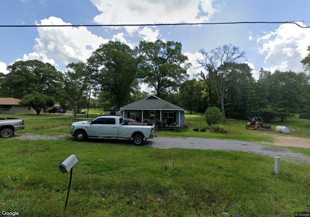
747 Crawford Loop Pollock, LA 71467
Estimated Value: $168,000 - $209,589
4
Beds
2
Baths
1,800
Sq Ft
$103/Sq Ft
Est. Value
About This Home
This home is located at 747 Crawford Loop, Pollock, LA 71467 and is currently estimated at $184,647, approximately $102 per square foot. 747 Crawford Loop is a home located in Grant Parish with nearby schools including Pollock Elementary School, Grant Junior High School, and Grant High School.
Ownership History
Date
Name
Owned For
Owner Type
Purchase Details
Closed on
Feb 27, 2009
Sold by
Perez Anasasio and Perez Georgina A
Bought by
Parsons Jospeh C and Parsons Heather D Keen
Current Estimated Value
Home Financials for this Owner
Home Financials are based on the most recent Mortgage that was taken out on this home.
Original Mortgage
$128,000
Outstanding Balance
$81,088
Interest Rate
5.06%
Estimated Equity
$103,559
Create a Home Valuation Report for This Property
The Home Valuation Report is an in-depth analysis detailing your home's value as well as a comparison with similar homes in the area
Purchase History
| Date | Buyer | Sale Price | Title Company |
|---|---|---|---|
| Parsons Jospeh C | $40,000 | -- |
Source: Public Records
Mortgage History
| Date | Status | Borrower | Loan Amount |
|---|---|---|---|
| Open | Parsons Jospeh C | $128,000 |
Source: Public Records
Tax History
| Year | Tax Paid | Tax Assessment Tax Assessment Total Assessment is a certain percentage of the fair market value that is determined by local assessors to be the total taxable value of land and additions on the property. | Land | Improvement |
|---|---|---|---|---|
| 2024 | $20 | $13,522 | $2,322 | $11,200 |
| 2023 | $1,884 | $12,170 | $1,290 | $10,880 |
| 2022 | $1,882 | $12,170 | $1,290 | $10,880 |
| 2021 | $1,882 | $12,170 | $1,290 | $10,880 |
| 2020 | $1,879 | $12,170 | $1,290 | $10,880 |
| 2019 | $1,866 | $11,690 | $1,290 | $10,400 |
| 2018 | $1,866 | $11,690 | $1,290 | $10,400 |
| 2017 | $1,720 | $11,690 | $1,290 | $10,400 |
| 2015 | $1,987 | $11,370 | $1,290 | $10,080 |
| 2014 | $1,987 | $11,370 | $1,290 | $10,080 |
| 2013 | $1,987 | $11,370 | $1,290 | $10,080 |
Source: Public Records
Map
Nearby Homes
- 479 Airbase Rd
- 000 Highway 165 None
- 0 Edmonds Rd
- 9385 Highway 165 None
- 120 Meadow Ln
- 9385 Highway 165
- 121 Highway 3130
- 132 Meadow Ln
- 119 Meadow Ln
- 131 Meadow Ln
- 9130 Highway 165 None
- 9130 Highway 165
- 193 Roberts Rd
- 0 N 165 Hwy Unit 2516900
- 769 E Meade Rd
- 112 Oak Run Trail
- 773 E Meade Rd
- 128 Robertson Rd
- 291 Price Rd
- 6911 Springhill Rd
- 742 Crawford Loop
- 711 Crawford Loop
- 795 Crawford Loop
- 791 Crawford Loop
- 715 Crawford Loop
- 740 Crawford Loop
- 740 Crawford Loop
- 00 Crawford Loop Rd
- 710 Crawford Loop
- 760 Crawford Loop
- 0 Crawford Loop
- 720 Crawford Loop
- 792 Crawford Loop
- 00 Crawford Loop
- 750 Crawford Loop
- 105 Alma Dr
- 238 Airbase Rd
- 300 Airbase Rd
- 123 Alma Dr
- 700 Crawford Loop
Your Personal Tour Guide
Ask me questions while you tour the home.