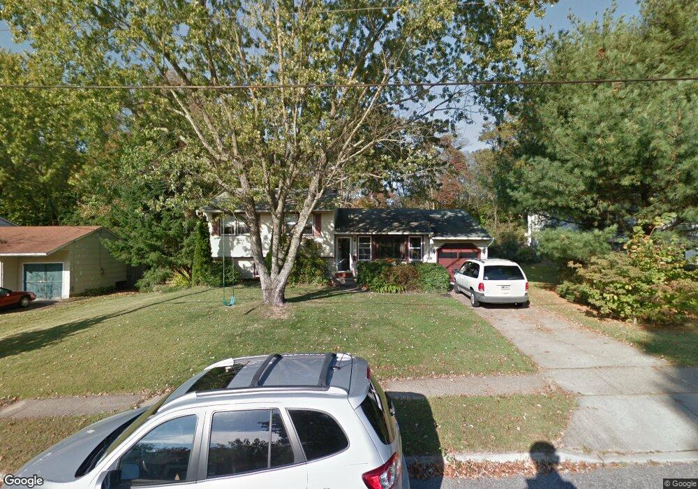
747 Dartmouth Dr Wenonah, NJ 08090
Deptford Township NeighborhoodEstimated Value: $322,000 - $395,000
--
Bed
--
Bath
1,780
Sq Ft
$203/Sq Ft
Est. Value
About This Home
This home is located at 747 Dartmouth Dr, Wenonah, NJ 08090 and is currently estimated at $361,731, approximately $203 per square foot. 747 Dartmouth Dr is a home located in Gloucester County with nearby schools including Deptford Township High School and St Margaret Regional School.
Ownership History
Date
Name
Owned For
Owner Type
Purchase Details
Closed on
Jun 27, 2001
Sold by
Larkey William J
Bought by
Cassario Scott J and Cassario Helen H
Current Estimated Value
Home Financials for this Owner
Home Financials are based on the most recent Mortgage that was taken out on this home.
Original Mortgage
$89,000
Outstanding Balance
$34,473
Interest Rate
7.21%
Estimated Equity
$327,258
Purchase Details
Closed on
Mar 16, 2001
Sold by
Riling Raymond J and Riling Louise M
Bought by
Larkey William
Home Financials for this Owner
Home Financials are based on the most recent Mortgage that was taken out on this home.
Original Mortgage
$72,550
Interest Rate
7.05%
Create a Home Valuation Report for This Property
The Home Valuation Report is an in-depth analysis detailing your home's value as well as a comparison with similar homes in the area
Home Values in the Area
Average Home Value in this Area
Purchase History
| Date | Buyer | Sale Price | Title Company |
|---|---|---|---|
| Cassario Scott J | $127,000 | Fidelity National Title Ins | |
| Larkey William | $80,640 | Fidelity National Title Ins |
Source: Public Records
Mortgage History
| Date | Status | Borrower | Loan Amount |
|---|---|---|---|
| Open | Cassario Scott J | $89,000 | |
| Previous Owner | Larkey William | $72,550 |
Source: Public Records
Tax History Compared to Growth
Tax History
| Year | Tax Paid | Tax Assessment Tax Assessment Total Assessment is a certain percentage of the fair market value that is determined by local assessors to be the total taxable value of land and additions on the property. | Land | Improvement |
|---|---|---|---|---|
| 2025 | $6,292 | $175,500 | $41,600 | $133,900 |
| 2024 | $6,090 | $175,500 | $41,600 | $133,900 |
| 2023 | $6,090 | $175,500 | $41,600 | $133,900 |
| 2022 | $6,046 | $175,500 | $41,600 | $133,900 |
| 2021 | $5,696 | $175,500 | $41,600 | $133,900 |
| 2020 | $5,892 | $175,500 | $41,600 | $133,900 |
| 2019 | $5,779 | $175,500 | $41,600 | $133,900 |
| 2018 | $5,649 | $175,500 | $41,600 | $133,900 |
| 2017 | $5,498 | $175,500 | $41,600 | $133,900 |
| 2016 | $5,386 | $175,500 | $41,600 | $133,900 |
| 2015 | $5,219 | $175,500 | $41,600 | $133,900 |
| 2014 | $5,084 | $175,500 | $41,600 | $133,900 |
Source: Public Records
Map
Nearby Homes
- 748 Dartmouth Dr
- 125 Ivy Ln
- 111 Cove Rd
- 7 Manchester Ct
- 100 Buddy Powell Ln
- 114 Buddy Powell Ln
- 711 Howard Ave
- 313 Ogden Station Rd
- 315 Ogden Station Rd
- 505 W Mantua Ave
- 213 Barclay Ct
- 916 Georgetown Rd
- 75 Hickory Ave
- 629 Vassar Rd
- 807 Saint Regis Ct
- 463 Durham Ct
- 411 Durham Ct Unit 411
- 827 Saint Regis Ct
- 1134 Tristram Cir Unit 4
- 1215 Tristram Cir
- 745 Dartmouth Dr
- 749 Dartmouth Dr
- 743 Dartmouth Dr
- 765 Glenside Dr
- 744 Dartmouth Dr
- 741 Dartmouth Dr
- 801 Dartmouth Dr
- 747 Purdue Ave
- 769 Glenside Dr
- 742 Duke Dr
- 743 Duke Dr
- 739 Dartmouth Dr
- 759 Glenside Dr
- 752 Purdue Ave
- 751 Glenside Dr
- 745 Purdue Ave
- 740 Duke Dr
- 737 Dartmouth Dr
- 750 Purdue Ave
- 129 Ivy Ln