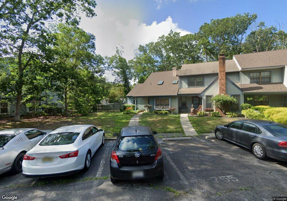
747 E Cooper Ferry Ct Galloway, NJ 08205
Estimated Value: $272,976 - $317,000
Studio
--
Bath
1,486
Sq Ft
$201/Sq Ft
Est. Value
About This Home
This home is located at 747 E Cooper Ferry Ct, Galloway, NJ 08205 and is currently estimated at $298,744, approximately $201 per square foot. 747 E Cooper Ferry Ct is a home located in Atlantic County with nearby schools including Absegami High School, Cedar Creek High School, and Oakcrest High School.
Ownership History
Date
Name
Owned For
Owner Type
Purchase Details
Closed on
Jul 28, 2006
Sold by
Craig Steven
Bought by
Laura Zucconi
Current Estimated Value
Home Financials for this Owner
Home Financials are based on the most recent Mortgage that was taken out on this home.
Original Mortgage
$207,000
Outstanding Balance
$121,953
Interest Rate
6.8%
Mortgage Type
Purchase Money Mortgage
Estimated Equity
$176,791
Purchase Details
Closed on
Mar 27, 2003
Sold by
Morton April
Bought by
Craig Steven and Craig Stacey
Home Financials for this Owner
Home Financials are based on the most recent Mortgage that was taken out on this home.
Original Mortgage
$129,950
Interest Rate
5.91%
Mortgage Type
Purchase Money Mortgage
Purchase Details
Closed on
Jul 31, 1996
Sold by
Evans Daniel V
Bought by
Morton April L
Create a Home Valuation Report for This Property
The Home Valuation Report is an in-depth analysis detailing your home's value as well as a comparison with similar homes in the area
Home Values in the Area
Average Home Value in this Area
Purchase History
| Date | Buyer | Sale Price | Title Company |
|---|---|---|---|
| Laura Zucconi | $230,000 | -- | |
| Craig Steven | $134,000 | -- | |
| Craig Steven T | $134,000 | The Title Company Of Jersey | |
| Morton April L | $76,000 | -- |
Source: Public Records
Mortgage History
| Date | Status | Borrower | Loan Amount |
|---|---|---|---|
| Open | Laura Zucconi | $207,000 | |
| Previous Owner | Craig Steven T | $129,950 |
Source: Public Records
Tax History Compared to Growth
Tax History
| Year | Tax Paid | Tax Assessment Tax Assessment Total Assessment is a certain percentage of the fair market value that is determined by local assessors to be the total taxable value of land and additions on the property. | Land | Improvement |
|---|---|---|---|---|
| 2025 | $4,920 | $147,400 | $64,000 | $83,400 |
| 2024 | $4,920 | $147,400 | $64,000 | $83,400 |
Source: Public Records
Map
Nearby Homes
- 56 Pheasant Meadow Dr
- 39 Pheasant Meadow Dr
- 91 Pheasant Meadow Dr Unit 6
- 32 Pheasant Meadow Dr Unit S
- 718 Cardinal Way
- 703 Ravenwood Dr
- 18 N Grist Mill Place
- 60 Waterview Dr Unit 203B
- 732 Whalers Cove Ct
- 103 S Edgewater Dr Unit 103
- 26 Schooner Landing Rd
- 00 Chestnut & Roosevelt St
- 632 E Chancery Ln Unit 4
- 806 E Millbridge Ct
- 670 E Chancery Ln
- 704 Moonraker Ct
- 685 E Lake Front Cir Unit 81
- 715 Nacote Creek Place
- 150 Driftwood Ct Unit 283
- 702 Nacote Creek Place
- 749 E Cooper Ferry Ct
- 751 E Cooper Ferry Ct
- 60 Pheasant Meadow Dr
- 62 Pheasant Meadow Dr
- 50 Pheasant Meadow Dr
- 753 E Cooper Ferry Ct
- 58 Pheasant Meadow Dr Unit 75
- 52 Pheasant Meadow Dr Unit 2
- 760 E Cooper Ferry Ct
- 72 Pheasant Meadow Dr
- 755 E Cooper Ferry Ct
- 80 Pheasant Meadow Dr
- 66 Pheasant Meadow Dr Unit 1
- 758 E Cooper Ferry Ct
- 76 Pheasant Meadow Dr Unit 66
- 76 Pheasant Meadow Dr Unit 6
- 76 Pheasant Meadow Dr Unit 76
- 74 Pheasant Meadow Dr Unit 84
- 756 E Cooper Ferry Ct
- 68 Pheasant Meadow Dr