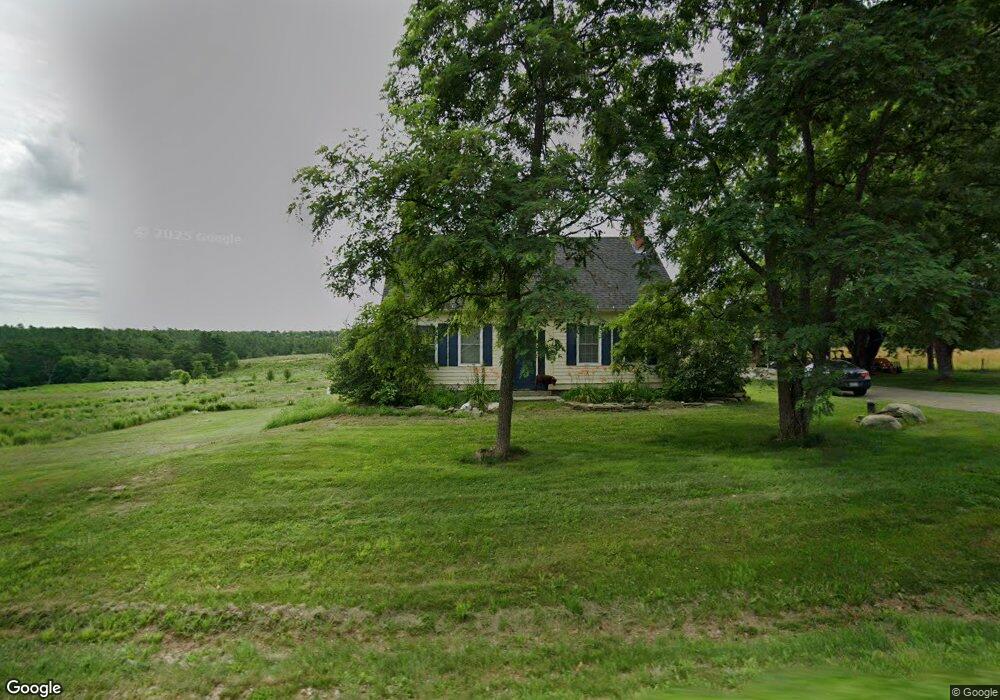
747 Garland Rd Winslow, ME 04901
Estimated Value: $337,000 - $889,725
4
Beds
2
Baths
2,000
Sq Ft
$303/Sq Ft
Est. Value
About This Home
This home is located at 747 Garland Rd, Winslow, ME 04901 and is currently estimated at $605,908, approximately $302 per square foot. 747 Garland Rd is a home located in Kennebec County with nearby schools including Winslow Elementary School, Winslow Junior High School, and Winslow High School.
Ownership History
Date
Name
Owned For
Owner Type
Purchase Details
Closed on
Jun 25, 2025
Sold by
Karter Leonel D
Bought by
Karter Ahnon S and Karter Leonel D
Current Estimated Value
Purchase Details
Closed on
Apr 17, 2007
Sold by
Ward Donna T and Ward Peter H
Bought by
Karter Leonel D
Home Financials for this Owner
Home Financials are based on the most recent Mortgage that was taken out on this home.
Original Mortgage
$240,000
Interest Rate
6.24%
Mortgage Type
Purchase Money Mortgage
Create a Home Valuation Report for This Property
The Home Valuation Report is an in-depth analysis detailing your home's value as well as a comparison with similar homes in the area
Home Values in the Area
Average Home Value in this Area
Purchase History
| Date | Buyer | Sale Price | Title Company |
|---|---|---|---|
| Karter Ahnon S | -- | None Available | |
| Karter Leonel D | -- | -- | |
| Karter Leonel D | -- | -- |
Source: Public Records
Mortgage History
| Date | Status | Borrower | Loan Amount |
|---|---|---|---|
| Previous Owner | Karter Leonel D | $240,000 |
Source: Public Records
Tax History Compared to Growth
Tax History
| Year | Tax Paid | Tax Assessment Tax Assessment Total Assessment is a certain percentage of the fair market value that is determined by local assessors to be the total taxable value of land and additions on the property. | Land | Improvement |
|---|---|---|---|---|
| 2024 | $13,269 | $884,600 | $68,600 | $816,000 |
| 2023 | $13,241 | $882,700 | $66,700 | $816,000 |
| 2022 | $11,796 | $556,400 | $54,000 | $502,400 |
| 2021 | $11,154 | $552,200 | $54,700 | $497,500 |
| 2020 | $11,298 | $600,300 | $103,400 | $496,900 |
| 2019 | $1,975 | $414,100 | $48,700 | $365,400 |
| 2018 | $536 | $414,100 | $48,700 | $365,400 |
| 2017 | $3,968 | $449,300 | $49,400 | $399,900 |
| 2016 | $3,723 | $448,700 | $48,800 | $399,900 |
| 2015 | $6,141 | $396,200 | $48,800 | $347,400 |
| 2014 | $6,136 | $395,900 | $48,500 | $347,400 |
Source: Public Records
Map
Nearby Homes
- 501 Clinton Ave
- 0 Olde Heritage Map 10 Lot 77-3 Place Unit 1628289
- 486 Garland Rd
- 987 Clinton Ave
- Lot 4 Peachtree Ln
- 2 and 3 Blue Heron Ln
- 854 Abbott Rd
- 158 Clinton Ave
- 17 Hapworth Ln
- 14 Fuller Dr
- 144 Clinton Ave
- 4 Marcoux St
- 21 Meadow View Ln
- 436 N Pond Rd
- 5 Mar Val Terrace Unit D7
- 670 Benton Ave
- 3 Baker St
- 12 Whipple St
- 11 Poulin St
- 21 Cardinal Way
- 750 Garland Rd
- 764 Garland Rd
- 721 Garland Rd
- 774 Garland Rd
- 783 Garland Rd
- 758 Garland Rd
- 786 Garland Rd
- 793 Garland Rd
- 816 Garland Rd
- 670 Garland Rd
- 834 Garland Rd
- 575 Clinton Ave
- 0 Mills Farm Rd Unit 877450
- 00 Confidential
- 0 Ardria Lane Route 139 Unit 1141106
- 0 Louise and Paul Ave Unit 1511674
- M13 L20-13 Bear Mountain Rd
- 842 Garland Rd
- 585 Clinton Ave
- 605 Clinton Ave