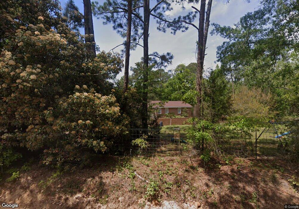
747 John Pate Rd Ashburn, GA 31714
Estimated Value: $170,231 - $325,000
Studio
2
Baths
2,102
Sq Ft
$109/Sq Ft
Est. Value
About This Home
This home is located at 747 John Pate Rd, Ashburn, GA 31714 and is currently estimated at $229,308, approximately $109 per square foot. 747 John Pate Rd is a home located in Turner County with nearby schools including Turner County Elementary School, Turner County Middle School, and Turner County High School.
Ownership History
Date
Name
Owned For
Owner Type
Purchase Details
Closed on
Nov 18, 2016
Sold by
David Joshwa
Bought by
Harris Elizabeth A
Current Estimated Value
Home Financials for this Owner
Home Financials are based on the most recent Mortgage that was taken out on this home.
Original Mortgage
$126,130
Outstanding Balance
$99,948
Interest Rate
3.52%
Mortgage Type
New Conventional
Estimated Equity
$129,360
Purchase Details
Closed on
Aug 4, 1999
Sold by
Youngblood David
Bought by
Adair Charles A
Purchase Details
Closed on
Dec 2, 1991
Bought by
Youngblood David
Create a Home Valuation Report for This Property
The Home Valuation Report is an in-depth analysis detailing your home's value as well as a comparison with similar homes in the area
Purchase History
| Date | Buyer | Sale Price | Title Company |
|---|---|---|---|
| Harris Elizabeth A | -- | -- | |
| Adair Charles A | $96,000 | -- | |
| Youngblood David | $77,000 | -- |
Source: Public Records
Mortgage History
| Date | Status | Borrower | Loan Amount |
|---|---|---|---|
| Open | Harris Elizabeth A | $126,130 |
Source: Public Records
Tax History
| Year | Tax Paid | Tax Assessment Tax Assessment Total Assessment is a certain percentage of the fair market value that is determined by local assessors to be the total taxable value of land and additions on the property. | Land | Improvement |
|---|---|---|---|---|
| 2025 | $1,467 | $58,992 | $3,298 | $55,694 |
| 2024 | $1,445 | $52,548 | $3,298 | $49,250 |
| 2023 | $1,659 | $51,898 | $2,213 | $49,685 |
| 2022 | $1,659 | $51,898 | $2,213 | $49,685 |
| 2021 | $1,659 | $51,898 | $2,213 | $49,685 |
| 2020 | $1,660 | $51,898 | $2,213 | $49,685 |
| 2019 | $1,660 | $51,898 | $2,213 | $49,685 |
| 2018 | $1,660 | $51,898 | $2,213 | $49,685 |
| 2017 | $1,660 | $51,898 | $2,213 | $49,685 |
| 2016 | $1,598 | $51,898 | $2,213 | $49,685 |
| 2015 | -- | $51,898 | $2,213 | $49,685 |
| 2014 | -- | $51,898 | $2,213 | $49,685 |
Source: Public Records
Map
Nearby Homes
- 846 Hawpond Rd
- 2691 Amboy-Rebecca Rd
- 0 Mann Rd
- 0 Arms Rd Unit 26542668
- 0 Powell Rd
- 245 Green Valley Rd
- 0 W Depot St
- 0 Julianne Rd Unit 10585704
- 0 Julianne Rd Unit 25546419
- 203 1st St E
- 174 1st St E
- 0 Snowridge Rd
- 0 Powell Rd Tract 2 Unit 24959
- 0 Powell Rd Tract 2 Unit 10678971
- 104 4th St
- 127 Powell Rd
- 107 10th St
- 0 Powell Rd Tract 1 Rd
- 221 1st St W
- 0 Lois Rd
- 0 John Pate Rd
- 834 John Pate Rd
- 862 John Pate Rd
- 132 Wise Rd
- 1080 John Pate Rd
- 361 John Pate Rd
- 275 John Pate Rd
- 235 John Pate Rd
- 4954 Haw Pond Rd
- 4844 Haw Pond Rd
- 5102 Haw Pond Rd
- 235 Spires Rd
- 14 John Pate Rd
- 11910 Ga Highway 159
- Lot 8 John Pate Rd
- 1834 Hawpond Rd
- 222 Spires Rd
- 4727 Haw Pond Rd
- 226 Spires Rd
Your Personal Tour Guide
Ask me questions while you tour the home.