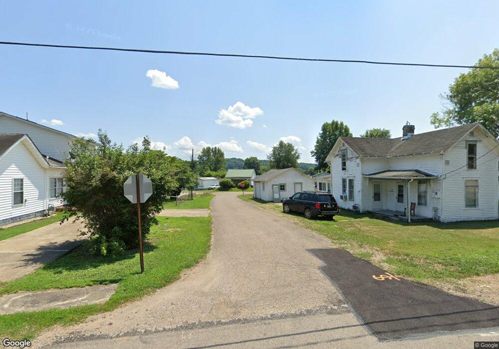
747 Oliver St Middleport, OH 45760
Estimated Value: $62,000 - $93,000
--
Bed
1
Bath
896
Sq Ft
$83/Sq Ft
Est. Value
About This Home
This home is located at 747 Oliver St, Middleport, OH 45760 and is currently estimated at $74,769, approximately $83 per square foot. 747 Oliver St is a home located in Meigs County with nearby schools including Meigs Primary School, Meigs Intermediate School, and Meigs Middle School.
Ownership History
Date
Name
Owned For
Owner Type
Purchase Details
Closed on
Oct 10, 2017
Sold by
Rph Oh Properties
Bought by
Bowles Nicholas P
Current Estimated Value
Home Financials for this Owner
Home Financials are based on the most recent Mortgage that was taken out on this home.
Original Mortgage
$16,200
Outstanding Balance
$3,897
Interest Rate
3.78%
Mortgage Type
Purchase Money Mortgage
Estimated Equity
$70,872
Purchase Details
Closed on
Sep 29, 2010
Sold by
Sayre Betty J
Bought by
Roush Christopher
Purchase Details
Closed on
May 19, 2008
Sold by
Sayre Michael R and Sayre Rhonda E
Bought by
Sayre Betty J
Purchase Details
Closed on
Mar 12, 2008
Sold by
Sayre Donald R and Sayre Betty J
Bought by
Sayre Michael R and Sayre Rhonda E
Create a Home Valuation Report for This Property
The Home Valuation Report is an in-depth analysis detailing your home's value as well as a comparison with similar homes in the area
Home Values in the Area
Average Home Value in this Area
Purchase History
| Date | Buyer | Sale Price | Title Company |
|---|---|---|---|
| Bowles Nicholas P | $18,000 | None Available | |
| Roush Christopher | $5,000 | None Available | |
| Sayre Betty J | -- | None Available | |
| Sayre Michael R | -- | None Available |
Source: Public Records
Mortgage History
| Date | Status | Borrower | Loan Amount |
|---|---|---|---|
| Open | Bowles Nicholas P | $16,200 |
Source: Public Records
Tax History Compared to Growth
Tax History
| Year | Tax Paid | Tax Assessment Tax Assessment Total Assessment is a certain percentage of the fair market value that is determined by local assessors to be the total taxable value of land and additions on the property. | Land | Improvement |
|---|---|---|---|---|
| 2024 | $948 | $23,390 | $5,460 | $17,930 |
| 2023 | $948 | $23,390 | $5,460 | $17,930 |
| 2022 | $919 | $23,390 | $5,460 | $17,930 |
| 2021 | $920 | $20,420 | $4,900 | $15,520 |
| 2020 | $927 | $20,420 | $4,900 | $15,520 |
| 2019 | $917 | $20,420 | $4,900 | $15,520 |
| 2018 | $775 | $17,660 | $3,280 | $14,380 |
| 2017 | $775 | $17,660 | $3,280 | $14,380 |
| 2016 | $786 | $17,660 | $3,280 | $14,380 |
| 2014 | $412 | $10,070 | $2,680 | $7,390 |
| 2013 | $412 | $10,070 | $2,680 | $7,390 |
Source: Public Records
Map
Nearby Homes